BUY PROFESSIONAL TERRAIN 3D MODELS AND 3D MAPS
Welcome to our expansive collection of top-notch terrain 3D models. Are you in search of mesmerizing 3D terrain for your creative projects? Look no further! Our platform offers a diverse array of 3D models to buy, including lifelike maps that bring your imagination to life. These models are perfect for printing 3D models, CNC milling, relief map creation, and graphic design projects. We use the latest satellite data and topographic information to ensure the highest level of accuracy and detail in our products. You can easily create physical or digital representations of any location on Earth. Whether you’re looking to buy 3d models online, a designer, cartographer, or hobbyist, our models are sure to bring your projects to life.


Learn how to get up to 100% discount in our store.
Discounts for regular customers and those who share their finished works.
WHAT WE OFFER?
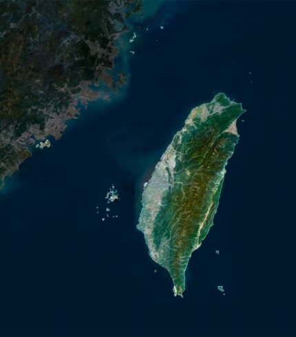
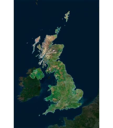
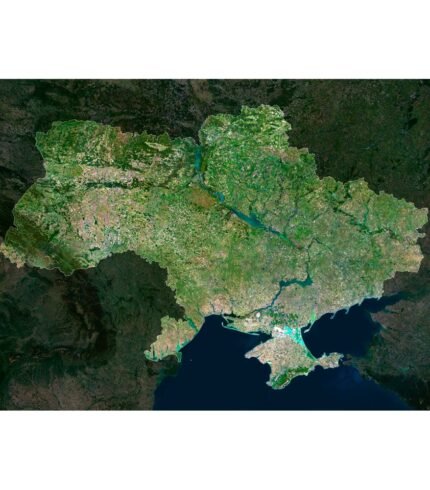
Our comprehensive range of services offers a versatile solution for a wide array of geographical and design needs. With a focus on precision and quality, we specialize in delivering exceptional offerings. Our 3D models site provides meticulously detailed representations of landscapes, countries, continents, islands, and more.
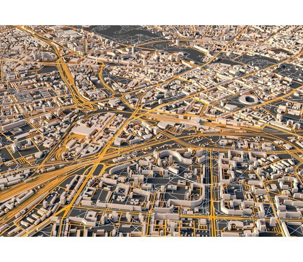
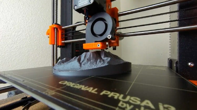
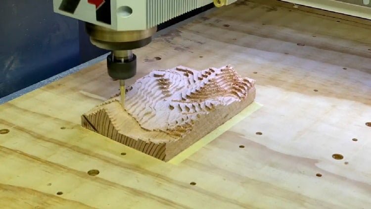
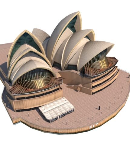
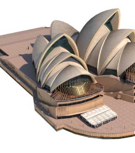
TERRAIN 3D MODELS FOR 3D PRINTING AND CNC MILLING
Our online store offers high-quality 3d models to download for 3D printing and CNC milling enthusiasts. Browse a diverse collection of carefully crafted models that cater to a wide range of interests and industries. Unleash your imagination and turn it into tangible masterpieces with the technology of your choice.
FREE 3D MODELS
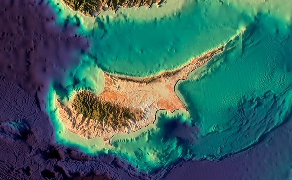
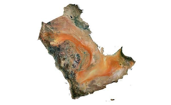
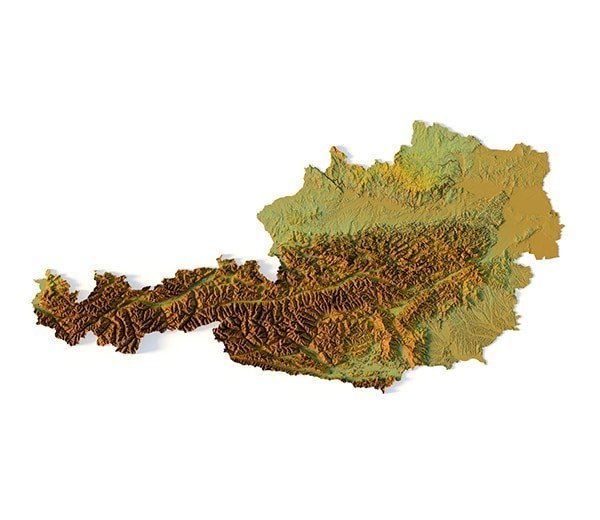
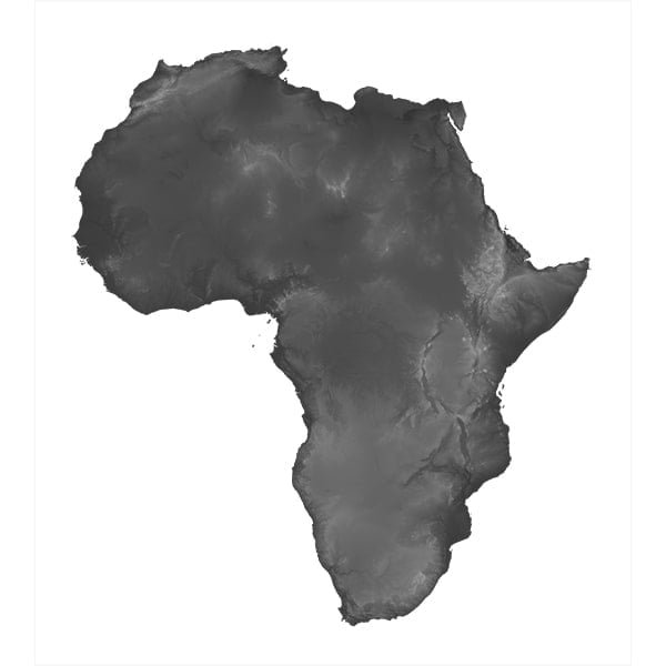
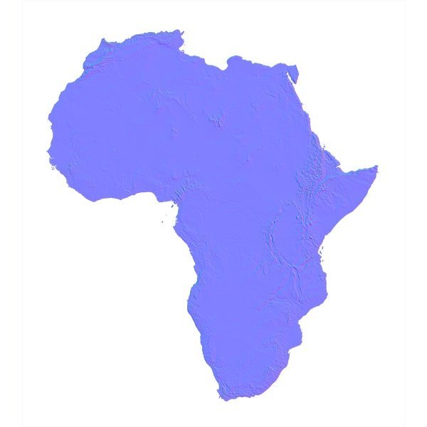
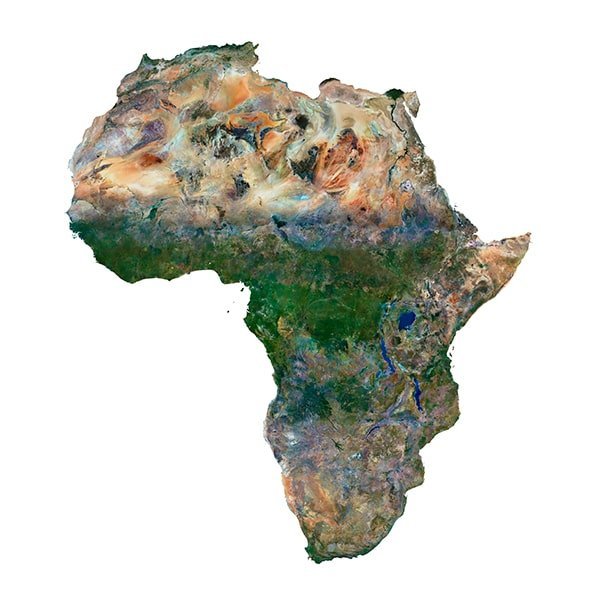
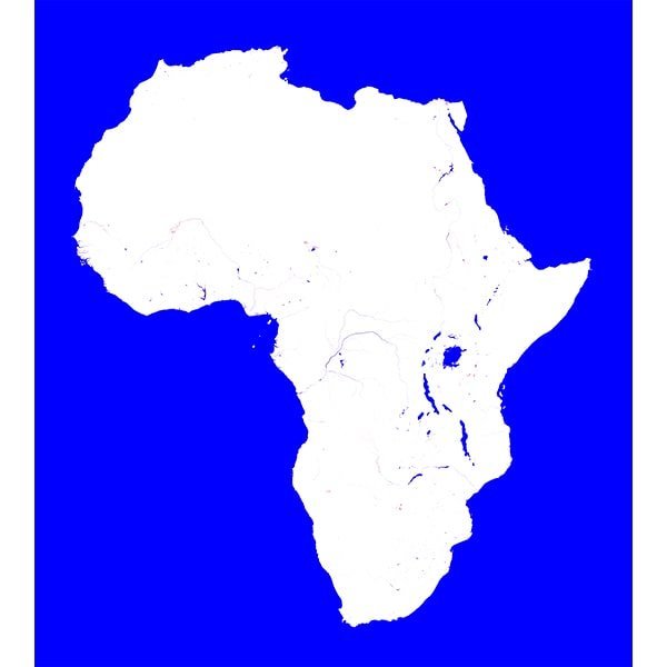
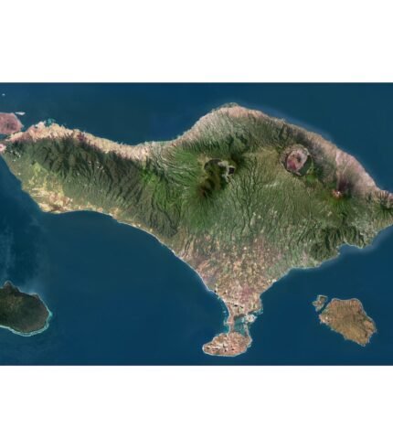
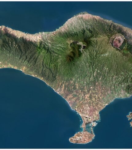
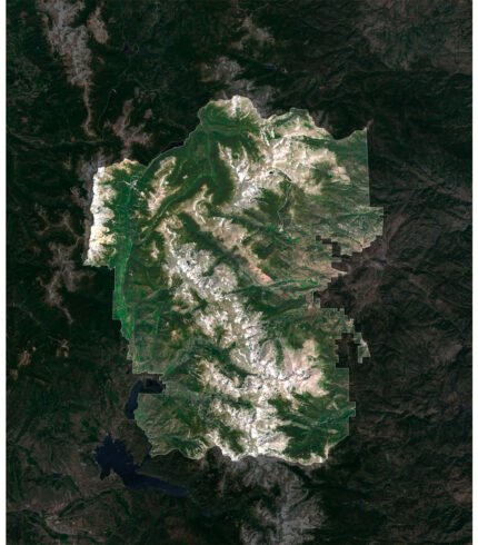
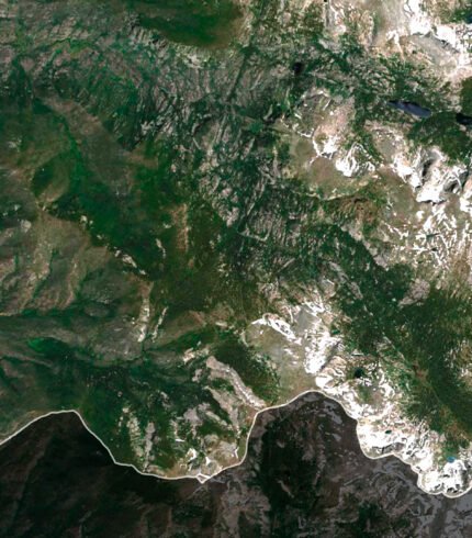
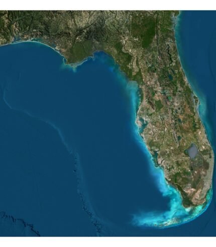
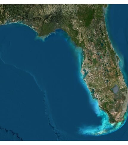
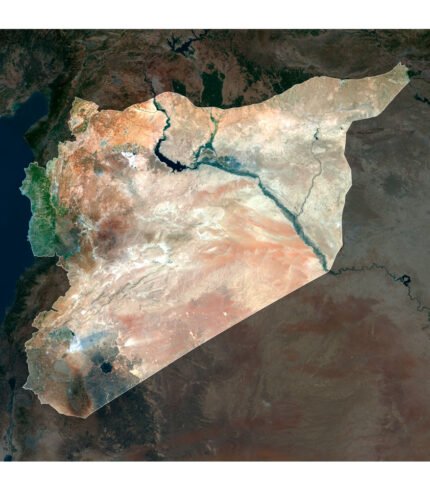
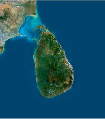
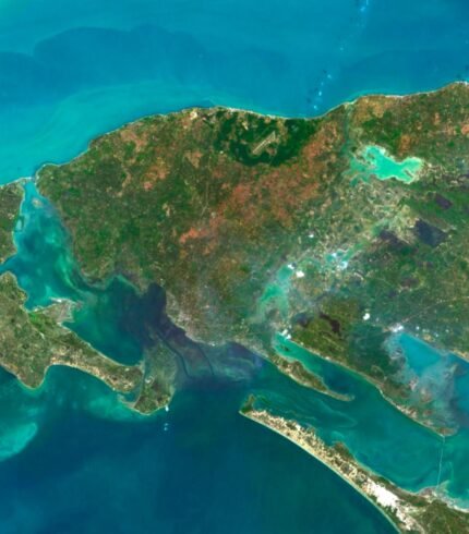
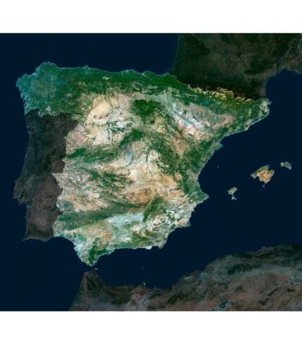
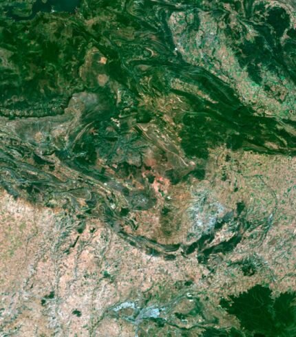
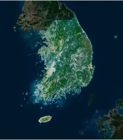
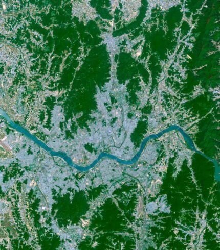
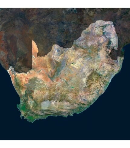
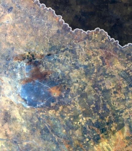
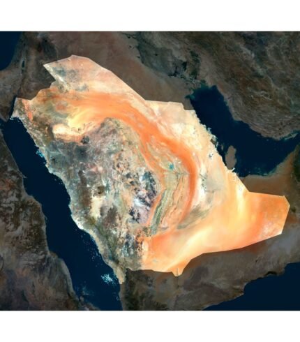
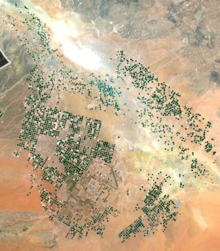
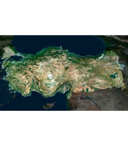
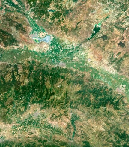
TERRAIN 3D MODELS
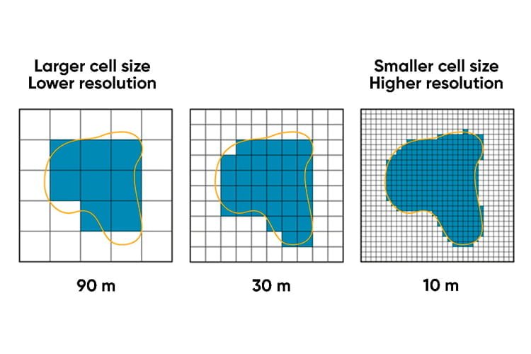
Terrain Height Maps, Normal Maps, Water Masks, Shapefiles, and satellite textures
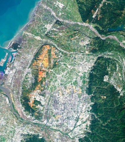
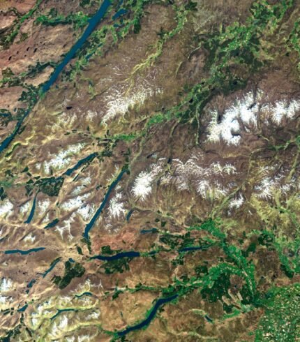
We offer a comprehensive range of geospatial data products to cater to your diverse needs. Our collection includes high-resolution Digital Elevation Models (DEMs) that provide intricate details of the Earth’s surface elevation, enabling accurate terrain analysis and visualization. Additionally, our library boasts an array of Normal Maps, which convey surface orientation information, lending a three-dimensional quality to your maps and simulations. For projects involving water bodies, our Water Masks provide invaluable insights by delineating water-land interfaces with remarkable precision. Should your project require a visual perspective from above, our assortment of satellite images is at your disposal. These images capture the Earth’s surface in remarkable detail, offering valuable insights for a plethora of applications, from urban planning to environmental monitoring.
100% SECURE PAYMENT
FREE FORMAT CONVERSION
SUPPORT FROM AUTHOR

UNLIMITED TIME ACCESS
Featured Products
Recent posts
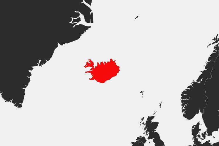
Where is Iceland on the Map?
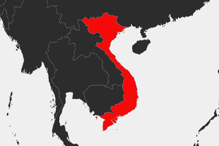
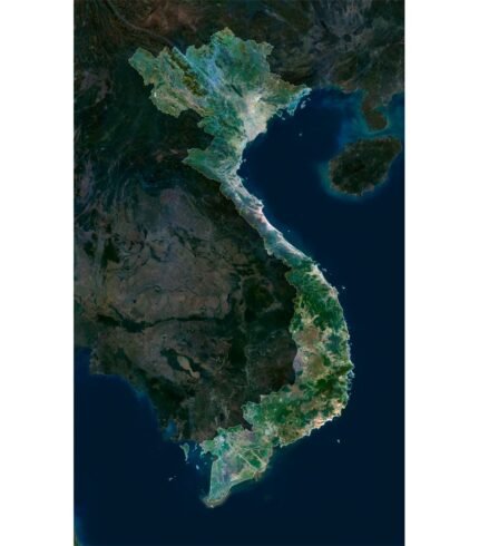
Where is Vietnam on the map?
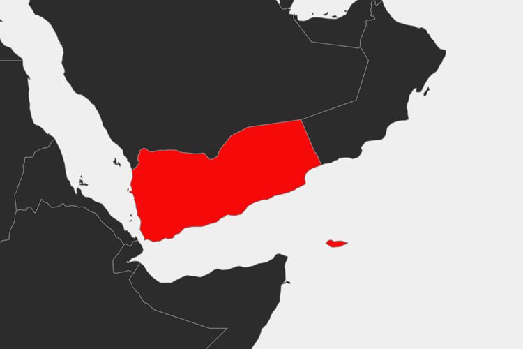
Where is Yemen on the map?
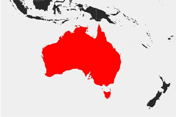
Where is Australia on the Map?
How to convert a model from C4D to OBJ?
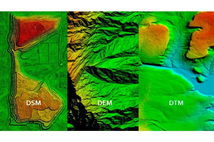
Elevation Modeling – which to choose DTM, DSM or DEM?
Understanding the OBJ File Format – A Simple Explanation
What is an STL File? Explaining the STL Format
Understanding the FBX File Format: A Simple Explanation
The Difference Between C4D and STL Models