
Zimbabwe Terrain Map – 3D Model for 3D Printing & CNC Carving
$15.00
Explore Zimbabwe with a 3D Printable Terrain Map
![]()
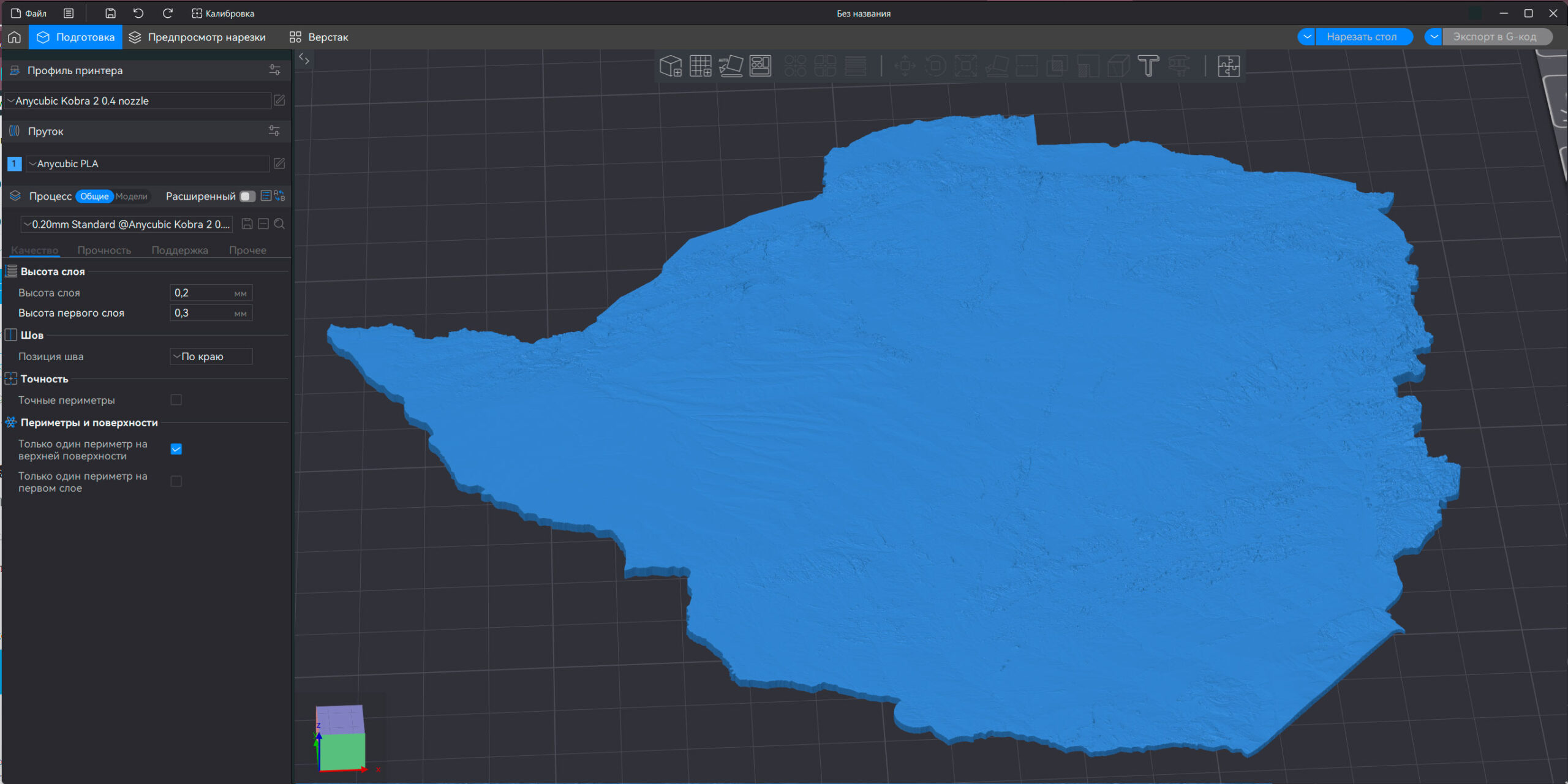
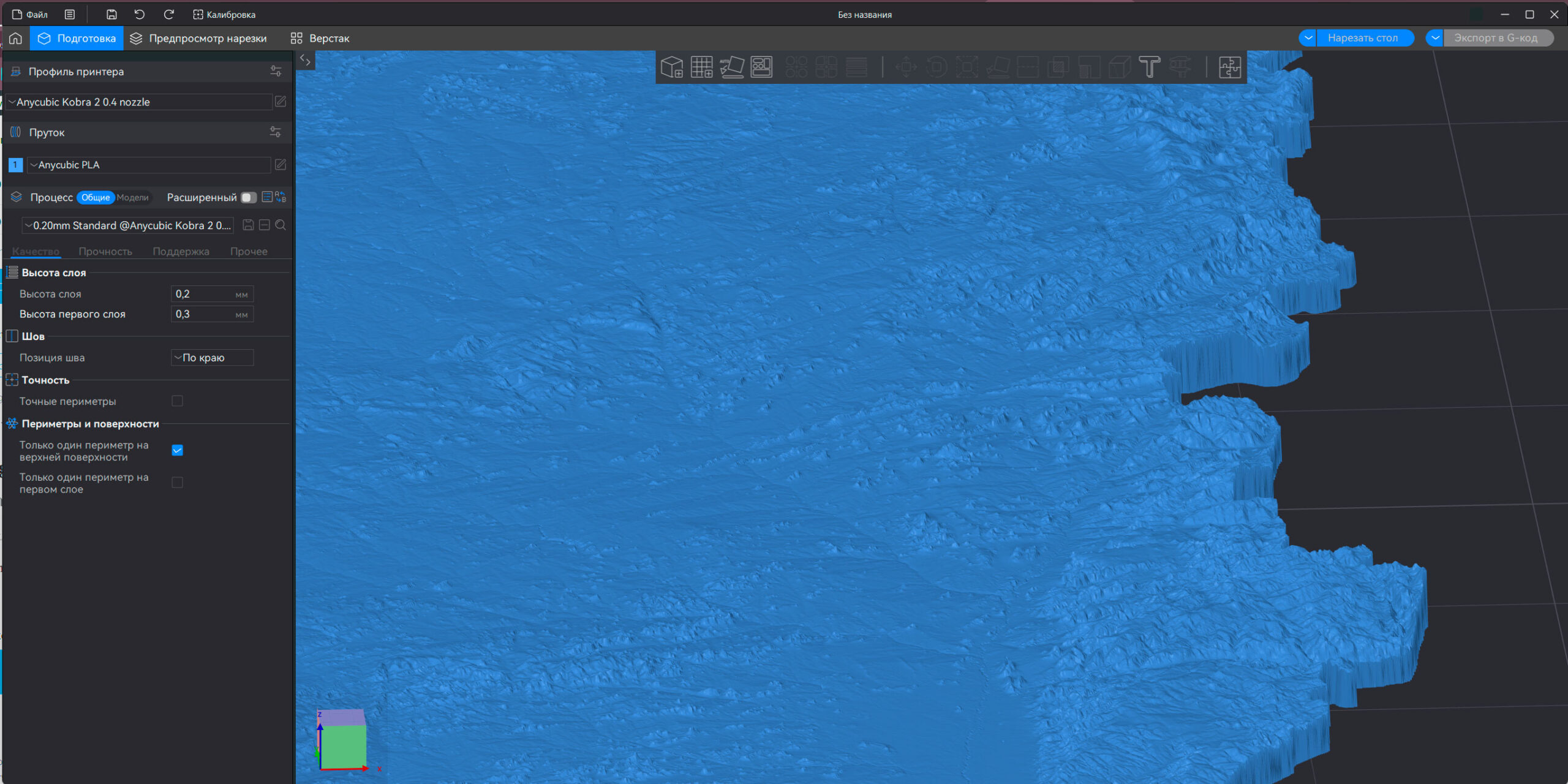
3D model:
- File size: 423 MB
- Model size: 181 mm x 166 mm x 2.3 mm
- Projection: Mercator
- Scaling factor: X — 1; Y — 1; Z — 6
- Polygons: 8 874 012
- Vertices: 4 437 008
- Geometry: Polygonal Tris only
- Base: Closed
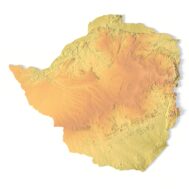
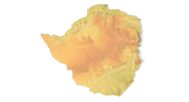
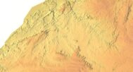
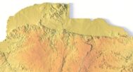
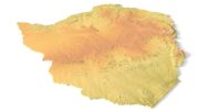
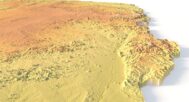
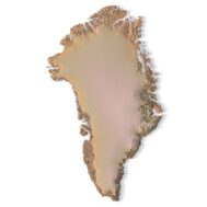
Bring Zimbabwe to life in your hands with this high-resolution 3D model of the Zimbabwe terrain map, crafted for FDM/SLA 3D printing and CNC carving. Whether you’re an educator, designer, or hobbyist, this model transforms geospatial data into a tangible, interactive topographic map.
📌 Key Features of the Zimbabwe 3D Terrain Model
✅ Accurate topography from digital elevation models
✅ Optimized for 3D printing (FDM/SLA) and CNC machining
✅ Use in educational, artistic, and landscape design projects
✅ STL and heightmap-ready formats
✅ Clean, detailed map layout showing Zimbabwe
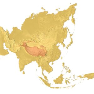
🌍 Zimbabwe – A Tangible Learning Tool
Whether you’re studying African geography or visualizing terrain for a landscape project, this map of Zimbabwe offers hands-on engagement. Great for schools, museums, and creative projects. The model highlights key features like rivers, mountains, and valleys using real digital elevation model (DEM) data.
🛠️ Compatible with Major Modeling & CNC Software
Easily import this model into your favorite modeling software or slicer. Files are prepared for use with:
Cura, PrusaSlicer, Lychee
Fusion 360, Blender, Meshmixer
CNC software for wood, metal, or acrylic carving
🔍 Who Is This 3D Model For?
Educators & Students – Visualize African geography through a real-world Zimbabwe country map
Makers & Designers – Create custom wall art, gifts, or teaching materials
CNC Hobbyists – Carve intricate reliefs of Zimbabwe’s terrain
Have a Question?
Do you need Shapefile?
Do you need more resolution satellite images?
Do you need a 3D model in BLEND, OBJ or FBX format?