
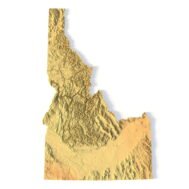
Idaho Topographic Map STL – 3D Terrain Model for 3D Printing & CNC
Original price was: $21.00.$15.00Current price is: $15.00.
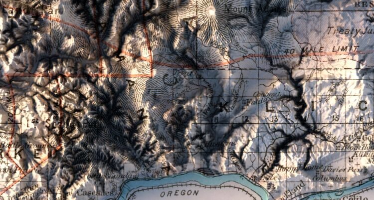
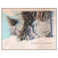
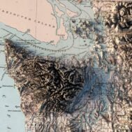
Washington State 1883 Historical Relief Map
High-resolution relief map of state of Washington in PSD format
![]()
- Linear size: 84.6 x 84.6 cm
- Pixel resolution: 100 MPx (10 000 px x 10 000 px)
- File size: ~700 MB
- Compression: No compression
- Color Depth: 16 Bit/channel
- Color model: CMYK
- Print resolution: 300 DPI
Description
The history of Washington includes thousands of years of Native American history before Europeans arrived and began to establish territorial claims. The region was part of Oregon Territory from 1848 to 1853, after which it was separated from Oregon and established as Washington Territory following the efforts at the Monticello Convention. On November 11, 1889, Washington became the 42nd state of the United States.
")
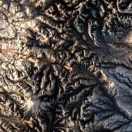
Historical map of Washington State at 100% zoom