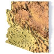
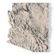
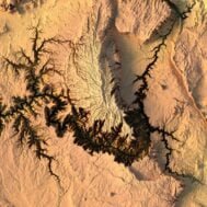
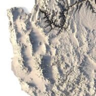
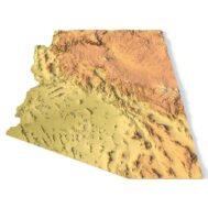
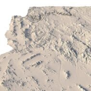
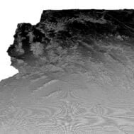
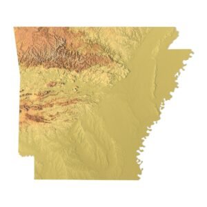
Arizona Terrain Model: Features and Uses
- Compatible with FDM/SLA 3D printers for creating raised relief maps.
- Supports CNC machining for wood and metal terrain models.
- High-precision laser engraving for metal surfaces.
Versatile Applications of the Arizona Topographic Map STL
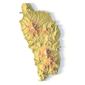
This STL model can be used to produce raised relief maps and other physical representations of Arizona’s terrain. Perfect for educators, designers, and hobbyists, this model can be applied for landscape visualization, physical models, or even for professional geospatial analysis.
How to Use the Arizona Topographic Model
The Arizona topographic map can be easily imported into popular mapping software or CAD programs for further customization. With highly accurate elevation data and a detailed terrain layout, it’s a perfect solution for anyone looking to explore the state’s topography in a physical format using 3D printing, CNC, or laser engraving.
 Solar System
 World
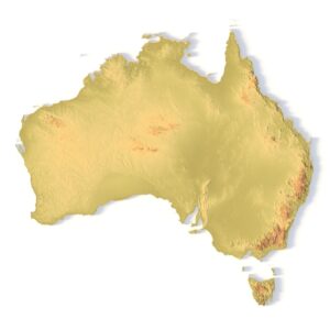
World Continents
 Peninsulas
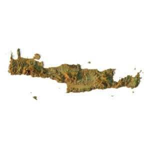
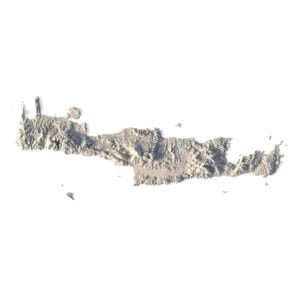
 Islands
 Countries
 States of America
 Canadian Provinces
 Parks & Canyons
 Fantasy
 Other
Other Planets
 Satellites