Solar System
 World
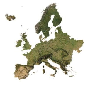
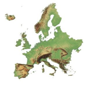
World Continents
 Peninsulas
 Islands
 Countries
 States of America
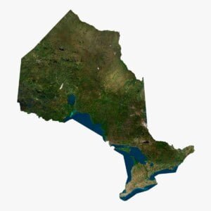
 Canadian Provinces
 Parks & Canyons
 Fantasy
 Other
Other Planets
 Satellites


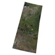

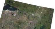
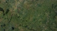
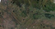
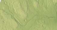
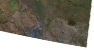
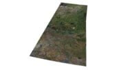
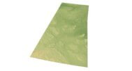
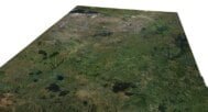
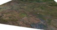
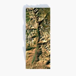
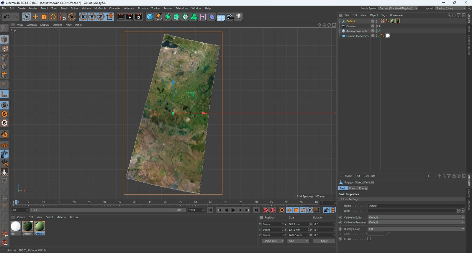
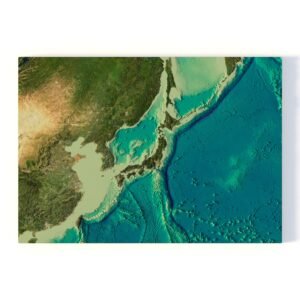
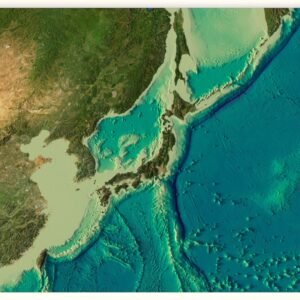
Our 3D model of the province of Saskatchewan is a realistic visual representation of the geography of this region. This model is perfect for educational projects, geographical research, or for creating unique decor. Immerse yourself in the wonderful world of geography with our 3D model of the province of Saskatchewan today!
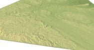
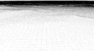
The model is created using a combination of data from satellite imagery and topographical surveys. This data is then processed and used to create a highly detailed and accurate digital model of the terrain. The model is created at a high resolution, which allows for fine details to be captured and represented accurately.