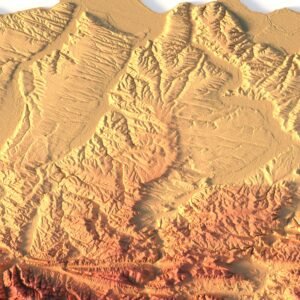
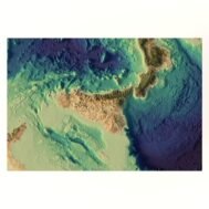
Sicily 3D relief without water
Original price was: $30.00.$20.00Current price is: $20.00.

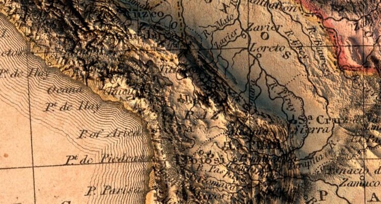
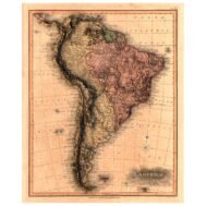
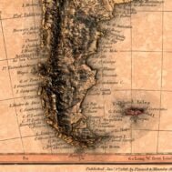
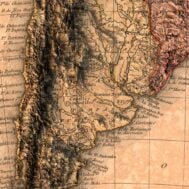
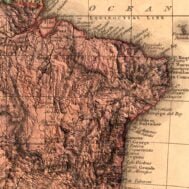
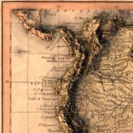
Map of South America 1819
High-resolution historical map of South America in PSD format
![]()
- Linear size: 48 x 59 cm
- Pixel resolution: 39 MPx (5648 px x 6975 px)
- File size: ~350 MB
- Compression: No compression
- Color Depth: 16 Bit/channel
- Color model: CMYK
- Print resolution: 300 DPI
Description
Map of South America and vicinity. Shows political boundaries, cities, railroads, topography, major lakes and drainage, coastlines and islands. Relief shown with hachures. Includes latitudinal and longitudinal lines, as well as a compass rose and bar scale, given in British miles.

Map of South America 1819 at 100% zoom