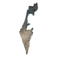
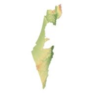
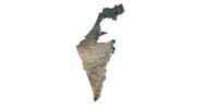
Israel 3D Model Terrain Map
$35.00
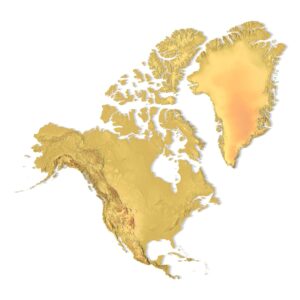
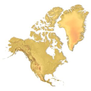
![]()
3D model
- Format: C4D (export to OBJ/FBX on request)
- File size (unzipped): 571 MB
- Polygons: 9 983 512
- Vertices: 4 996 389
- Geometry: Polygonal Tris only
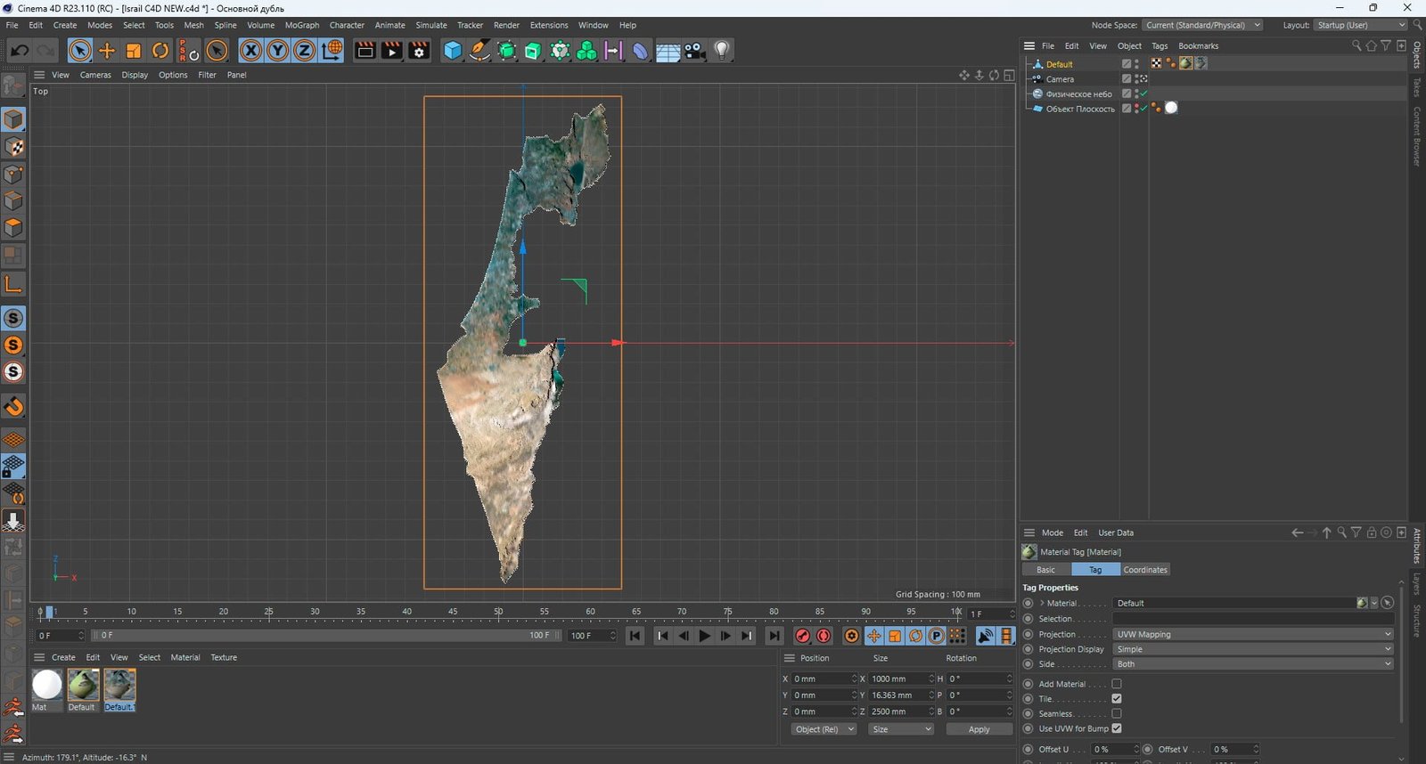
- Model size: 1000 mm x 2500 mm x 16.363 mm
- Projection: Mercator
- Base: Open
- UV layer: Yes (frontal)
Textures
- Height Map TIF 3227*8192*16b – You can use this map in the displacement channel instead of the polygonal mesh.
- Normal Map TIF 3227*8192*48b – Use this map to reveal fine details of the relief.
- Satellite Maps TIF 8000*20000*48b.
- Water Mask TIF 8000*20000*48b – Use this map for masking in the Reflection channel to get glare from the water surface.
- Pseudo-color Map 8000*20000*48b – Use this map to get elevation information based on the color shade.
- Boundary Mask TIF 8000*20000*48b – Use this map as a mask for your background.
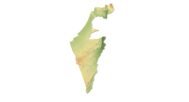
The Israel 3D Model is a highly detailed and accurate representation of the topographical features of the country. The model includes mountains, valleys, rivers, lakes, and other natural features found in the region. It is perfect for use in 3D graphic design, and Art.
The model is created using a combination of data from satellite imagery and topographical surveys. This data is then processed and used to create a highly detailed and accurate digital model of the terrain. The model is created at a high resolution, which allows for fine details to be captured and represented accurately.
Applications:
Game Development: Fully optimized Israel game ready map OBJ for real-time engines
Architectural & Landscape Visualization: Accurate terrain for planning and simulation
Educational Projects: Visualize Israel’s geography in 3D
Film & Animation: High-quality background or scene asset
With its combination of Israel textured 3D map accuracy and ready-to-use formats, this model is a powerful asset for professionals. Whether you need a displacement map for cinematic renders or a fully textured OBJ for game design, this package delivers.
In addition to the 3D terrain of the Israel, you get a map of heights, a map of normals, satellite textures and other maps.
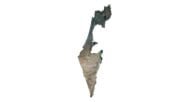
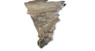
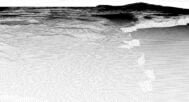
Height Map

You can use this map in the displacement channel instead of the polygonal mesh.
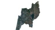
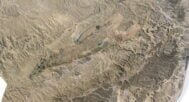
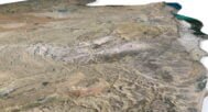
Normal Map

Use this map to reveal fine details of the relief.
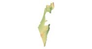
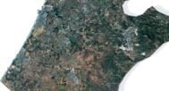
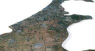
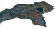
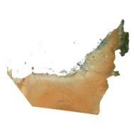
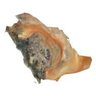
Satellite image

The satellite texture is high resolution in TIF format.
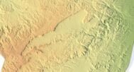
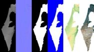
Pseudo-color Map

Use this map to get elevation information based on the color shade.
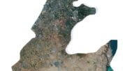
Water Mask

Use this map for masking in the Reflection channel to get glare from the water surface.
Have a Question?
Do you need Shapefile?
Do you need more resolution satellite images?
Do you need a 3D model in BLEND, OBJ or FBX format?