Solar System
 World
World Continents
 Peninsulas
 Islands
 Countries
 States of America
 Canadian Provinces
 Parks & Canyons
 Fantasy
 Other
Other Planets
 Satellites


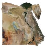
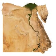
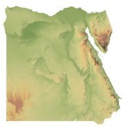
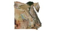
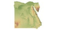
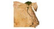
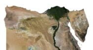
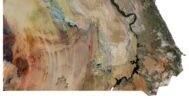
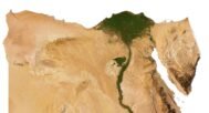
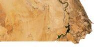
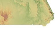
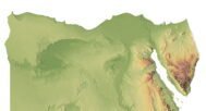
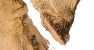
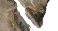
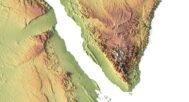
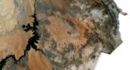
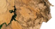
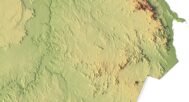

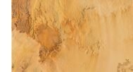
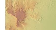
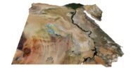
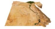
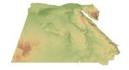
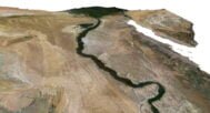
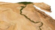
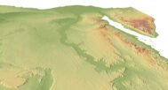
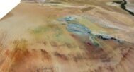
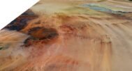
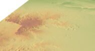
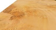


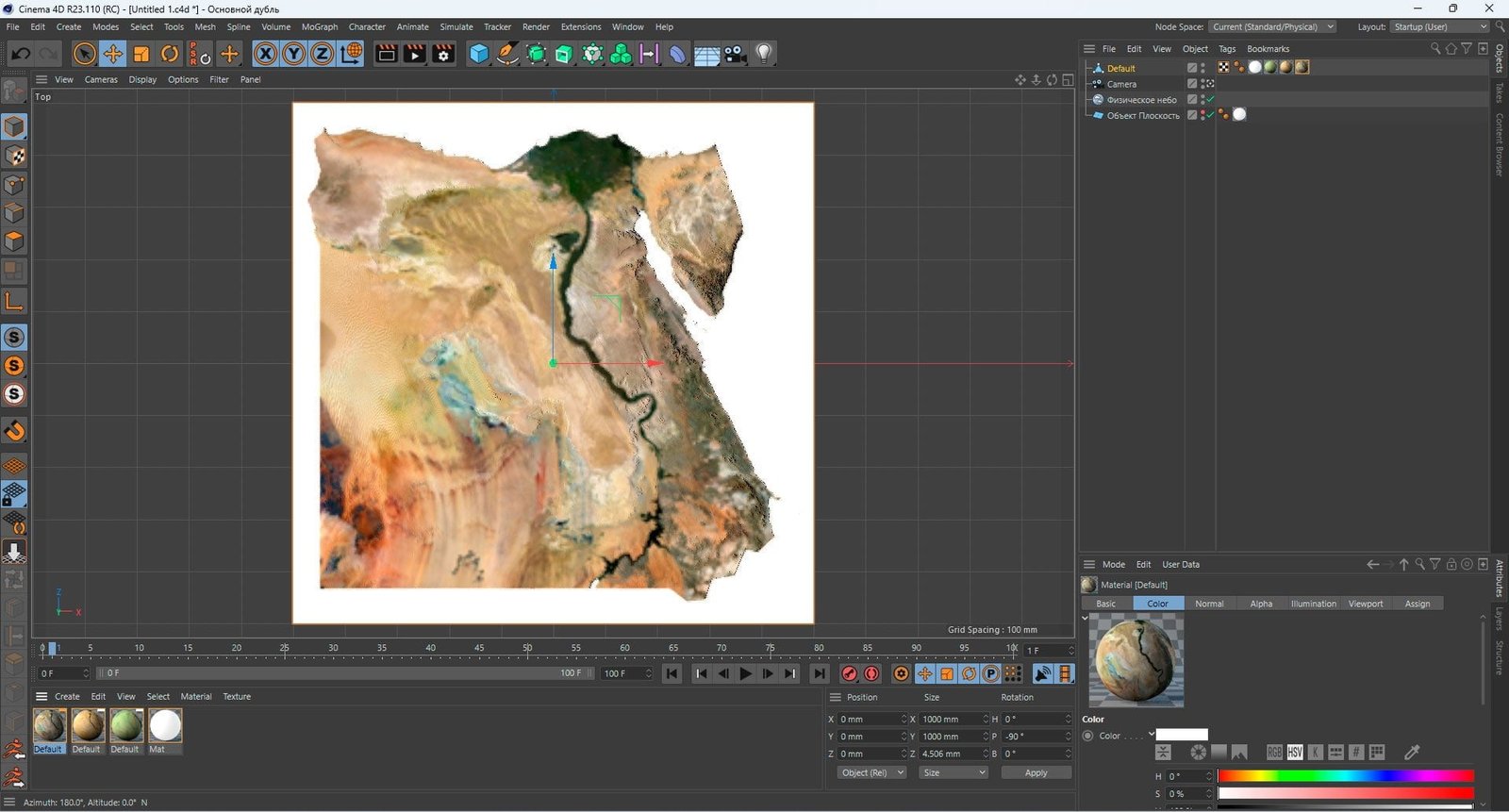
The Egypt 3D Model is a highly detailed and accurate representation of the topographical features of Egypt. The model includes mountains, valleys, rivers, lakes, and other natural features found in the country. It is perfect for use in graphic design, 3D printing, and CNC milling.
The model is created using a combination of data from satellite imagery and topographical surveys. This data is then processed and used to create a highly detailed and accurate digital model of the terrain. The model is created at a high resolution, which allows for fine details to be captured and represented accurately.