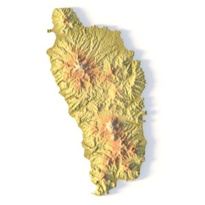


Ecuador Terrain 3D Model – High-Resolution Landscape with Height Map & Textures
$35.00
![]()
- Format: OBJ (LOD1/LOD2/LOD3)
- File size (unzipped): 964 MB/488 MB/ 192 MB
- Mesh: Country-clipped
- Polygons: 9 982 700 / 4 044 737/ 1 600 000
- Geometry: Polygonal Tris only
- Model size: 13130 mm x 14360 mm x 203 mm
- Projection: Mercator
- Base: Open
Textures
- Height Map TIF 7802*8192*16b – You can use this map in the displacement channel instead of the polygonal mesh.
- Normal Map TIF 7802*8192*16b – Use this map to reveal fine details of the relief.
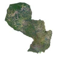
- Satellite Maps TIF 13200*14400*48b.
- Water Mask TIF 13200*14400*48b – Use this map for masking in the Reflection channel to get glare from the water surface.
- Pseudo-color Map 13200*14400*48b – Use this map to get elevation information based on the color shade.
- Boundary Mask TIF 13200*14400*48b – Use this map as a mask for your background.
Other models can be made on request.
Modifications, conversion to C4D, FBX, STL and other formats, more detailed models and better textures on request.
Ecuador Terrain 3D Model – High-Resolution Landscape with Height Maps & Textures
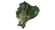
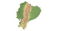
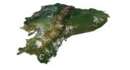
Ecuador Terrain 3D Model is a high-resolution digital landscape based on accurate elevation data and satellite imagery, designed for professional 3D visualization, game development, architectural rendering, VFX, and educational projects. This model faithfully represents Ecuador’s diverse geography — from the Andes Mountains and coastal plains to lowland regions — delivering a realistic and data-driven terrain asset ready for production use.
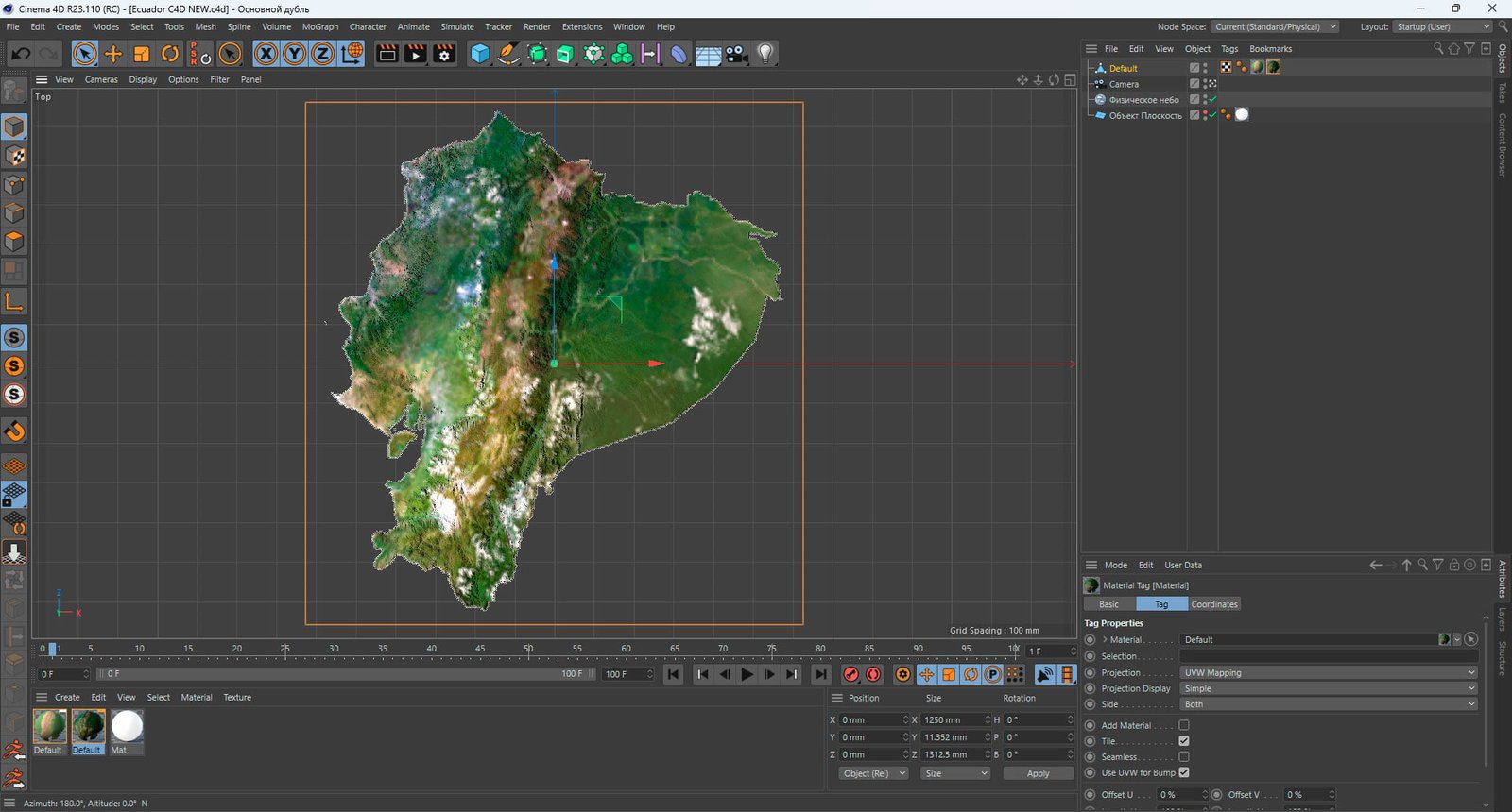
The terrain is supplied in OBJ format with multiple Levels of Detail (LOD1 / LOD2 / LOD3), allowing you to choose the optimal balance between visual quality and performance. Clean polygonal topology (triangles only) ensures compatibility with major 3D software, rendering engines, and pipelines.
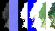
In addition to the 3D terrain of the Ecuador, you get a map of heights, a map of normals, satellite textures and other maps.
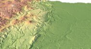
Height Map

You can use this map in the displacement channel instead of the polygonal mesh.
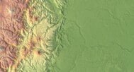
Normal Map

Use this map to reveal fine details of the relief.
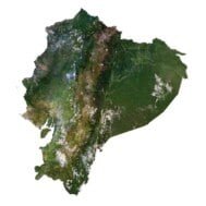
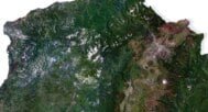
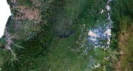
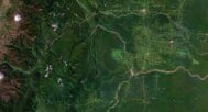
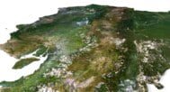
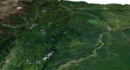
Satellite image

The satellite texture is high resolution in TIF format.
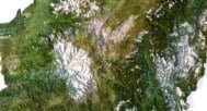
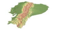
Pseudo-color Map

Use this map to get elevation information based on the color shade.
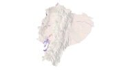
Water Mask

Use this map for masking in the Reflection channel to get glare from the water surface.
Applications & Use Cases
This Ecuador landscape 3D model is suitable for a wide range of professional and creative applications:
- Architectural visualization & urban planning
- Game environments & open-world terrain
- Film, VFX, and cinematic productions
- Geographic and environmental visualization
- Educational content for geography and earth sciences
- Cartographic design and data-driven art
The model can be easily customized: adjust elevation intensity, replace textures, blend with other assets, or convert formats to fit your workflow.
Have a Question?
Do you need Shapefile?
Do you need more resolution satellite images?
Do you need a 3D models in BLEND, OBJ or FBX format?