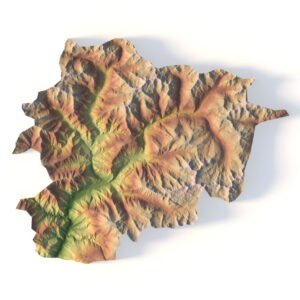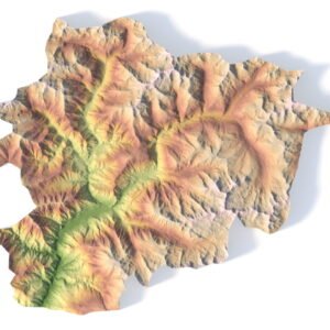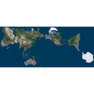

Denmark Terrain 3D Model
$35.00
![]()
![]()
3D models:
- Format: C4D / OBJ
- File size (unzipped): 99.7 MB / 124 MB
- Polygons: 1 712 084
- Vertices: 856 044
- Geometry: Polygonal Tris only
- Model Size: 200 mm * 200 mm * 4.2 mm
- Projection: Mercator
- Base: Close
Textures:
- Format: TIF
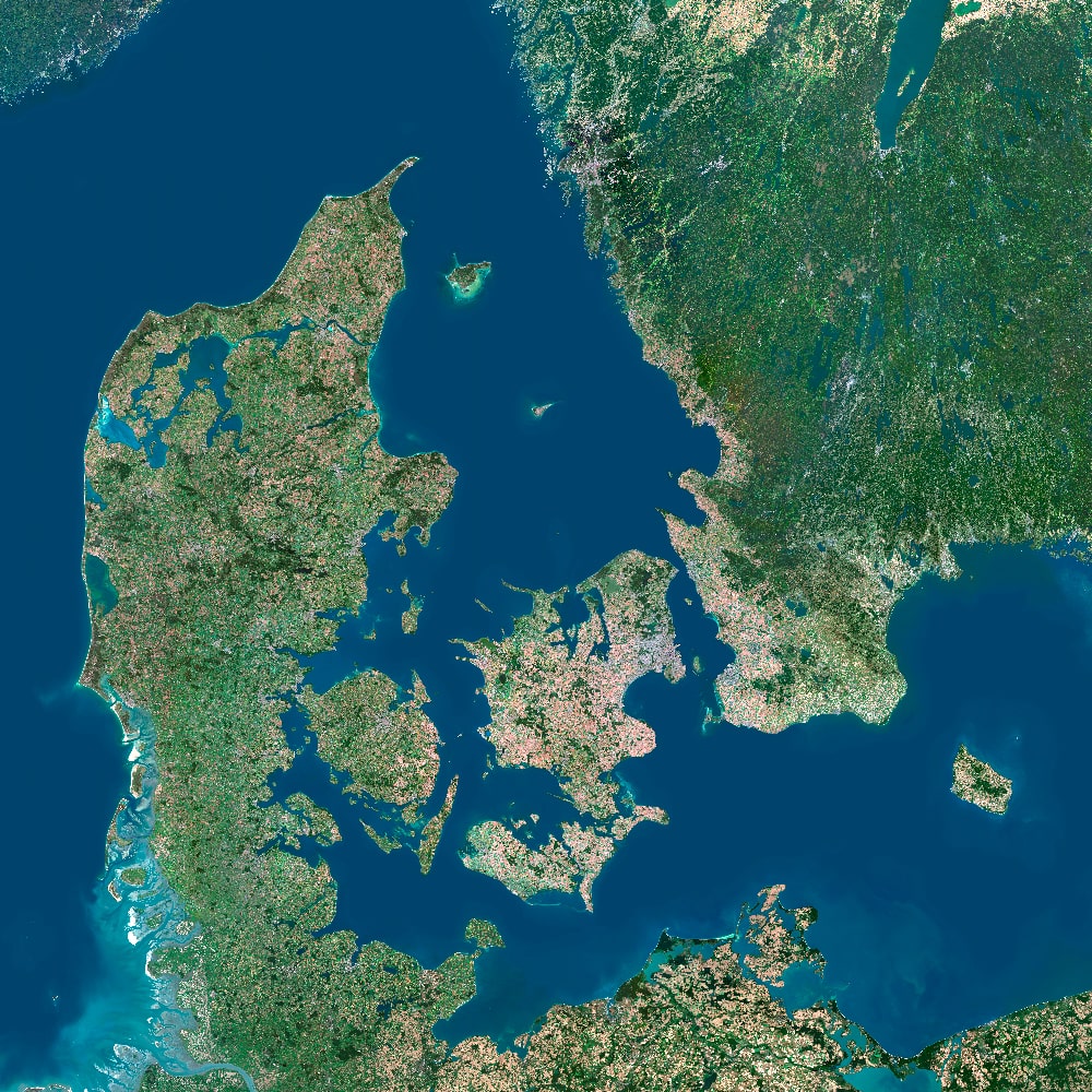
- Satellite Map: 529 MPx (23000*23000 px), 645 MB
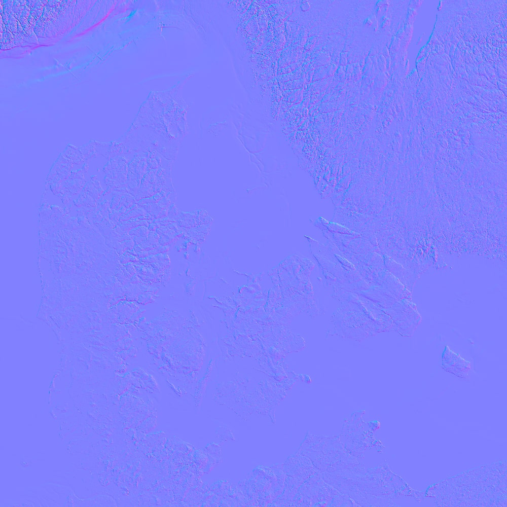
- Normal Map: 8193*8193 px, 384 MB
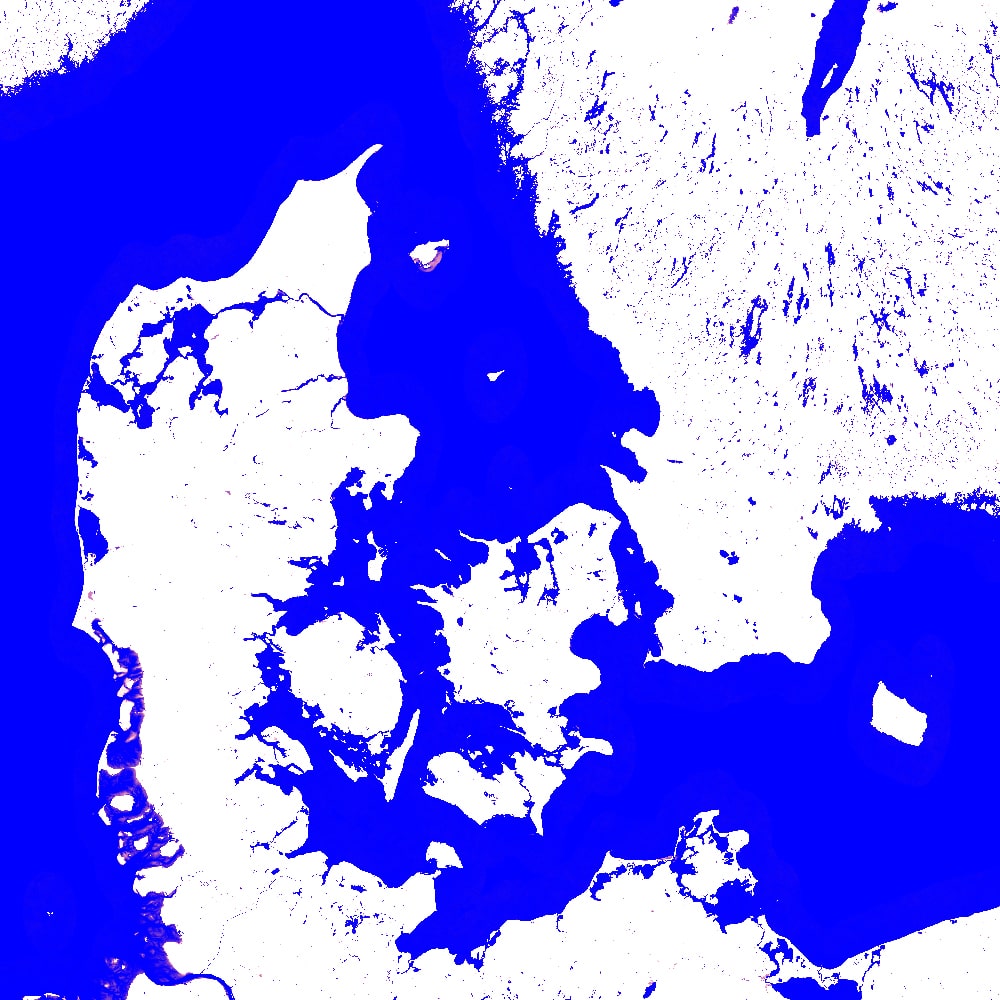
- Water Map: 7679*7679 px, 18.8 MB
- Fake Map: 2300*2300 px, 3 MB
Denmark Terrain 3D Model for High-Quality Visualization
Bring Denmark’s captivating landscapes to life with our highly accurate Denmark Terrain 3D Model. Ideal for 3D mapping, landscape visualization, educational use, or creative animation projects, this model offers detailed elevation data and precise terrain surface representation.
Explore Denmark’s Topography with Stunning Precision
Our 3D model captures the authentic topography of Denmark, featuring natural geographic features such as mountains and valleys. Designed with terrain accuracy in mind, it is perfect for terrain analysis and geospatial modeling.
Key Features of the Denmark Terrain 3D Model
Detailed digital elevation model (DEM)
Optimized for terrain rendering and animations
Compatible with leading visualization tools
High-resolution for both professional and academic use

Applications of the Denmark 3D Terrain Model
Whether you’re working on a landscape visualization, building immersive environments, or conducting terrain analysis, this 3D model provides an essential foundation for your project. It’s a valuable tool for architects, educators, developers, and artists needing authentic elevation data and surface textures.
Why Choose Our Denmark Terrain 3D Model?
Unmatched realism and terrain accuracy
Easy integration into existing 3D workflows
Enhances project quality with detailed terrain surface mapping
River and lake map
Normal Map
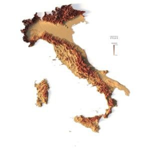
Satellite Map
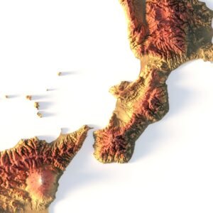
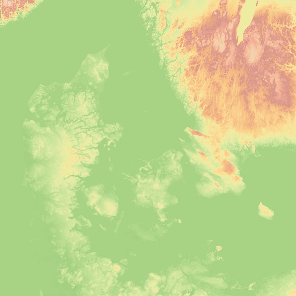
Pseudo-color map
Have a Question?
Do you need Shapefile?
Do you need more resolution satellite images?
Do you need a 3D model in BLEND, OBJ or FBX format?
Related products