





Authagraph World Map
Original price was: $50.00.$35.00Current price is: $35.00.
AuthaGraph world imagery for global layouts, print design and mosaic compositions.


- Format: TIF/ PSD (to create the mosaic)
- Files size (unzipped): 1.25 GB (4 textures)
- Resolution: 24000*10392*32b
- Projection: AuthaGraph
AuthaGraph World Map
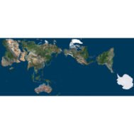
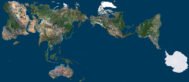
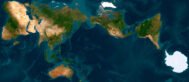
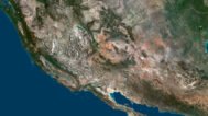
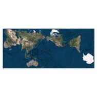
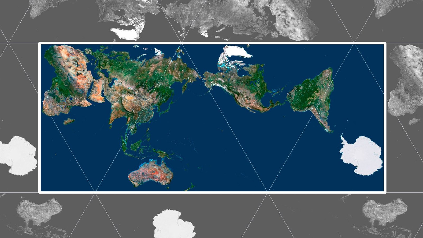
The AuthaGraph world map presents global land imagery in an unconventional flat global arrangement. Continental landmasses span the upper part of the source view, with Australia below and a large white Antarctic area toward the lower right. Blue ocean areas connect these separated land shapes within one continuous composition.
Global layout and projection
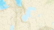
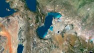
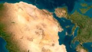
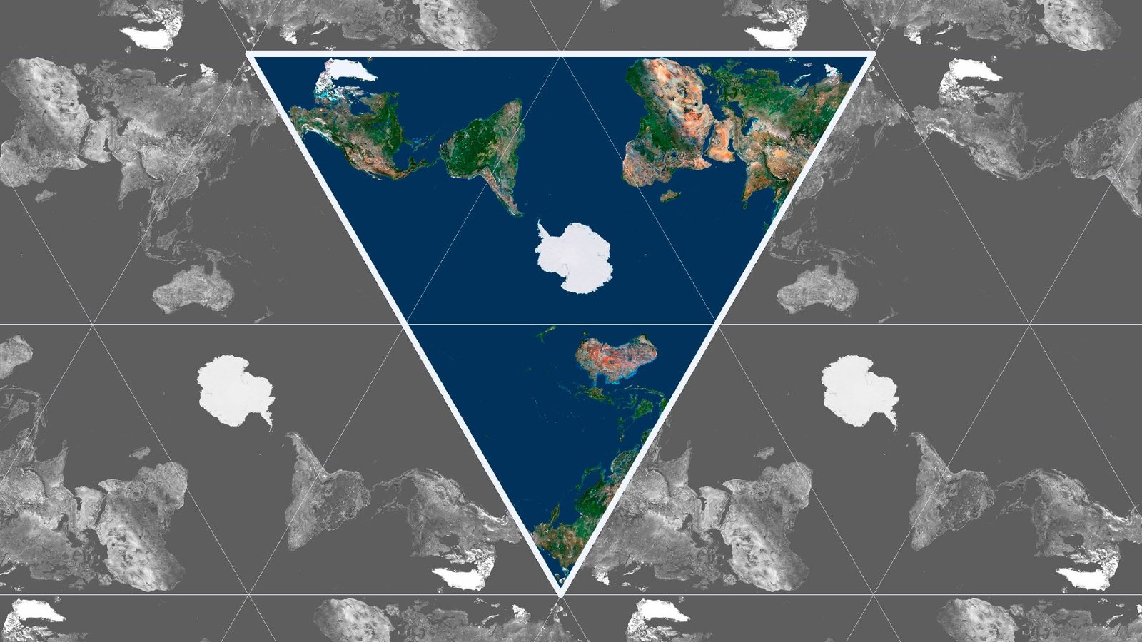
The AuthaGraph map context continues in the examples below, which show arrangements centred on Antarctica, the North Pole and Africa. These views make the position of the global centre part of the visual subject, while the labelled example images preserve a clear connection to the source composition.

Mosaic compositions
Use it for global editorial graphics, geographic presentations and printed world-map compositions in which the arrangement of continents and oceans is central to the design. The illustrated mosaic views provide specific visual references for work exploring different regional centres within a shared global image.
Source map in AuthaGraph projection
Triangular map with Antarctica in the center (example)
Map with the North Pole in the center (example)
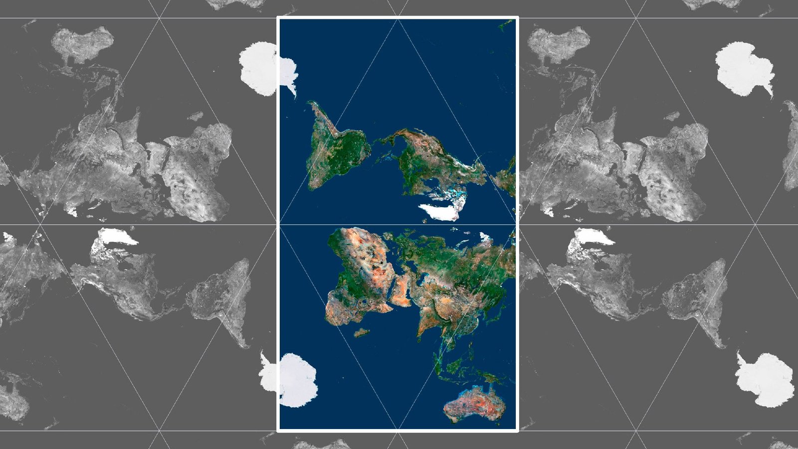
A map with Africa in the center (example)
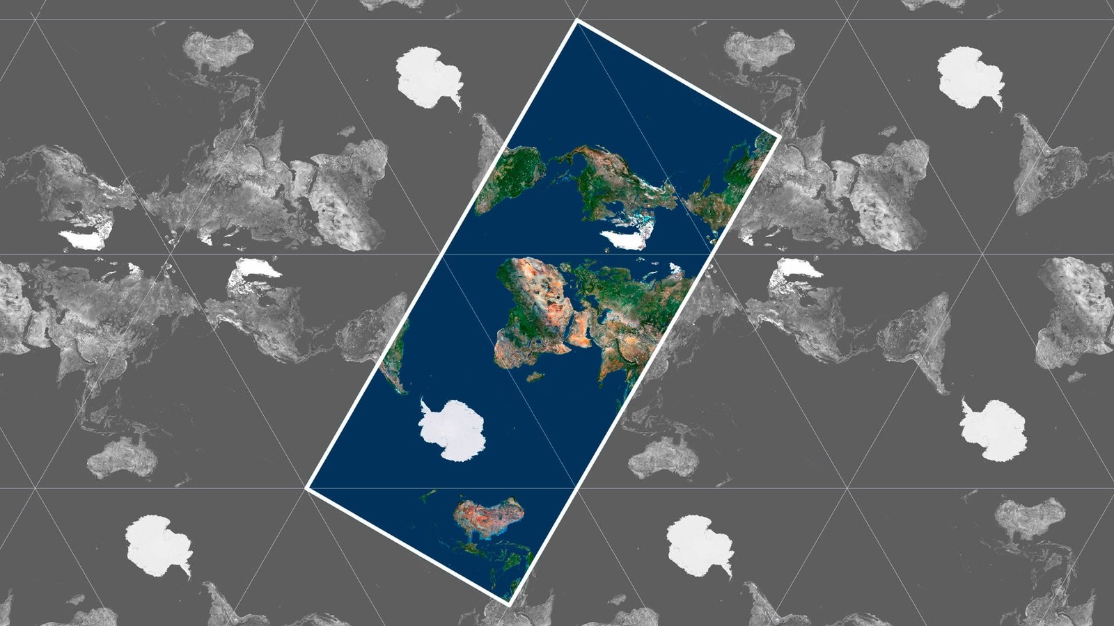
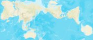
Color Map with country names (example)
Color Map with Borders (example)
Have a Question?
Do you need different projections?
Do you need different world textures?