-33%


North Pole 3D model
Original price was: $30.00.$20.00Current price is: $20.00.
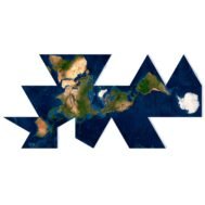
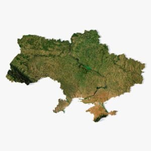
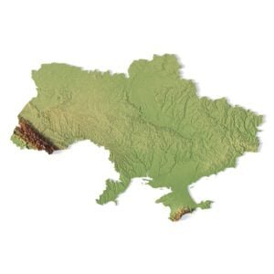
World Map Dymaxion 3D Model
$28.00
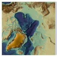
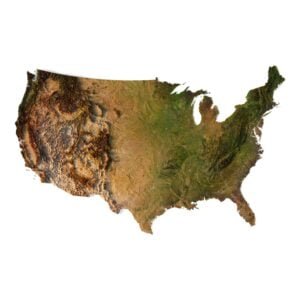
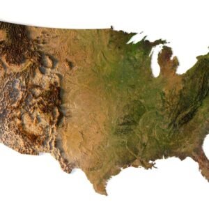
Corsica and Sardinia 3D model
Original price was: $30.00.$20.00Current price is: $20.00.
![]()
3D model
- Format: C4D
- File size: 238 MB
- Polygons: 4 158 720
- Vertices: 2 082 241
- Geometry: Polygonal Tris only
- Model size: 600 mm x 600 mm x 19.368 mm
- Projection: Geographic
- Base: Open
Textures
- Format: TIF
- File size: 45.8 MB
- Resolution: 4000*4000*24b
- UV layer: yes
[idcore id=”37″]
Description
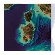
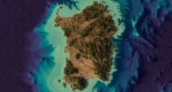
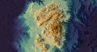
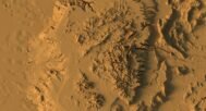
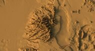
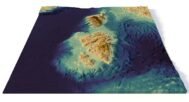
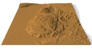
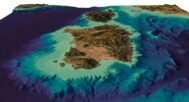
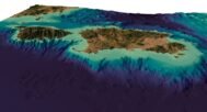
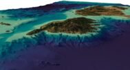
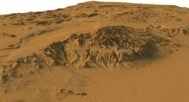
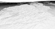
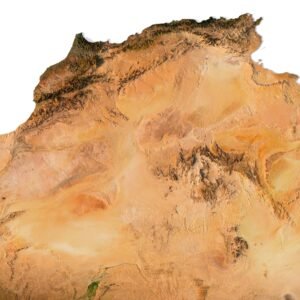
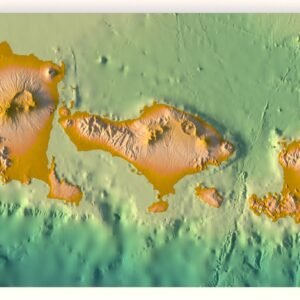
3D model of Corsica and Sardinia terrain was created in Cinema 4D R23 based on a high-polygonal STL model.
The height was increased by 10 times, so that the relief did not seem very flat. You can adjust the height as you want.
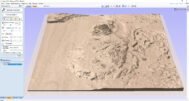
UV-map in frontal projection was created for correct texture mapping. Textures can be edited in Photoshop and returned to Cinema 4D.
The built-in physical renderer in Cinema 4D was used to produce the images.

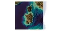
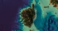
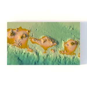
Corsica and Sardinia DEM

The elevation map is used to get information about low and high parts of Corsica and Sardinia relief.
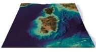
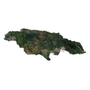
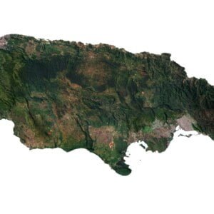
Corsica and Sardinia Texture

The texture is high resolution in TIF format.
Have a Question?
Do you need an extra high resolution 3D terrain?
Do you need Shapefile of Corsica and Sardinia and regions?
Do you need more resolution satellite Corsica and Sardinia images?
Do you need a 3D models in BLEND, OBJ or FBX format?
Do you need Shapefile of Corsica and Sardinia and regions?
Do you need more resolution satellite Corsica and Sardinia images?
Do you need a 3D models in BLEND, OBJ or FBX format?
Related products
$28.00
Original price was: $30.00.$20.00Current price is: $20.00.
$28.00
$28.00