China 3d model
$28.00
![]()
![]()
3D models
- Format: C4D
- File size (unzipped): 0.98 GB
- Polygons: 17 639 298
- Vertices: 8 839 789
- Geometry: Polygonal Tris only
- Model size: 681.2 mm x 500.63 mm x 5.018 mm
- Projection: Mercator
- Base: Open
- UV layer: Yes (frontal)
Added OBJ files with different Levels Of Detail (LOD)
- OBJ: LOD100/LOD50/LOD25
- Files size: 1.35 GB/1,0 GB/510 MB
- Polygons: 17 639 298/8 819 649/4 409 823
Textures
- Format: TIF
- File size: 115.5 MB
- Resolution: 7000*7000*48b
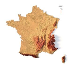
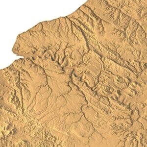
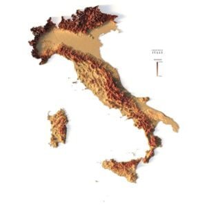
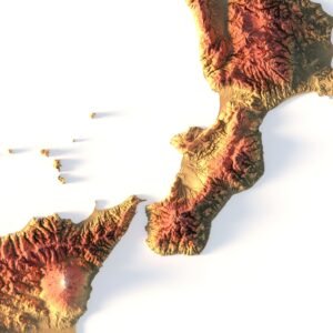
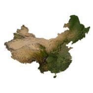
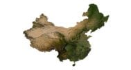
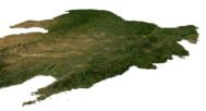
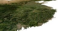
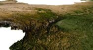
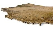
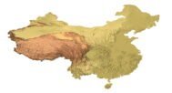
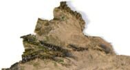
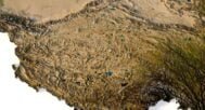
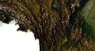
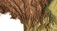
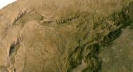
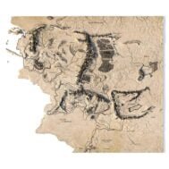
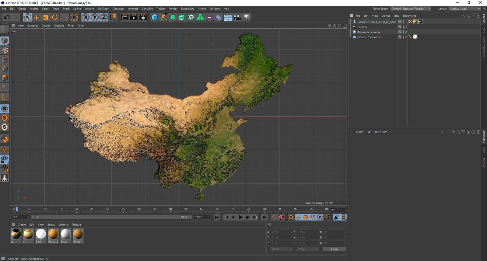
The China Terrain 3D Model is a highly detailed and accurate representation of the topographical features of China. The model includes mountains, valleys, rivers, lakes, and other natural features found in the country. It is perfect for use in graphic design, 3D printing, and CNC milling.
The model is created using a combination of data from satellite imagery and topographical surveys. This data is then processed and used to create a highly detailed and accurate digital model of the terrain. The model is created at a high resolution, which allows for fine details to be captured and represented accurately.
The China Terrain 3D Model is available in a variety of file formats, including STL, OBJ, and FBX. These formats are compatible with a wide range of software, including graphic design and 3D modeling software, as well as 3D printers and CNC machines. The model can be imported into most software programs, making it easy to use in a variety of projects.
In addition to the 3D terrain of China, I can attach a map of heights, shape-files and various satellite textures.
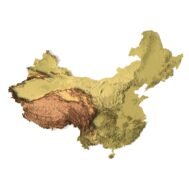
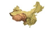
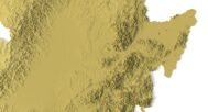
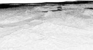
China DEM

The elevation map is used to get information about low and high parts of the China relief.
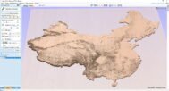
Shapefile of China

The shapefile is used to cut along the contour.
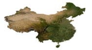
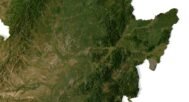
Satellite image of China

The satellite texture is high resolution in TIF format.
Have a Question?
Do you need Shapefile?
Do you need more resolution satellite images?
Do you need a 3D model in BLEND, OBJ or FBX format?
Related products