Solar System
 World
World Continents
 Peninsulas
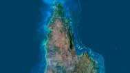
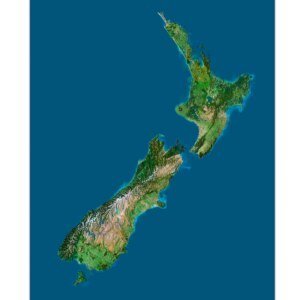
 Islands
 Countries
 States of America
 Canadian Provinces
 Parks & Canyons
 Fantasy
 Other
Other Planets
 Satellites


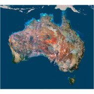
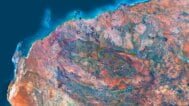
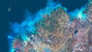
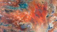
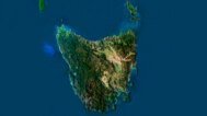
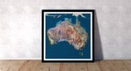
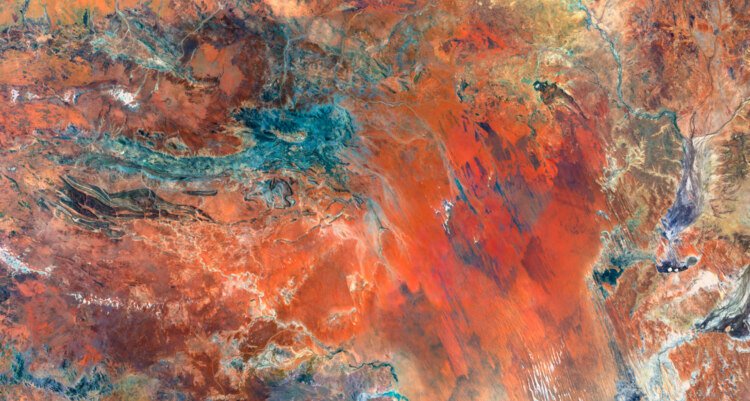
Explore Australia like never before with our highly detailed Australia 3D Map. This map offers an intricate representation of Australia’s diverse landscapes using elevation data and advanced 3D cartography. Whether for educational, professional, or personal use, the map provides a comprehensive look at Australia’s topography, making it an essential tool for anyone interested in geography or terrain mapping.
Detailed Australia 3D Elevation Map for Accurate Terrain Mapping
Our Australia 3D Map uses state-of-the-art geospatial visualization and digital terrain models to bring the Australian landscape to life. With accurate elevation mapping, this map is ideal for virtual geography, environmental studies, or as an educational tool for learning more about Australia’s diverse terrains.
Key Features and Applications of the Australia 3D Map
- Topographic Precision
Utilizing precise elevation data and aerial imagery, this map provides a detailed representation of Australia’s landforms, including mountains, valleys, deserts, and coastlines. - Professional and Educational Use
The map is perfect for terrain mapping, spatial analysis, and interactive landscapes. It serves as an invaluable resource for professionals in environmental science, geography, and urban planning. - Custom Design Projects
Integrate this detailed 3D topographic map into various design projects, from virtual models to interactive presentations and video content.
Why Choose Our 3D Relief Map of Australia?
Our 3D relief map of Australia offers not only stunning visual representation but also an in-depth analysis of the country’s terrain, making it suitable for a wide range of applications—from educational purposes to professional design projects.