
Albania Topographic Map – 3D Model for 3D Printing & CNC Carving
$15.00
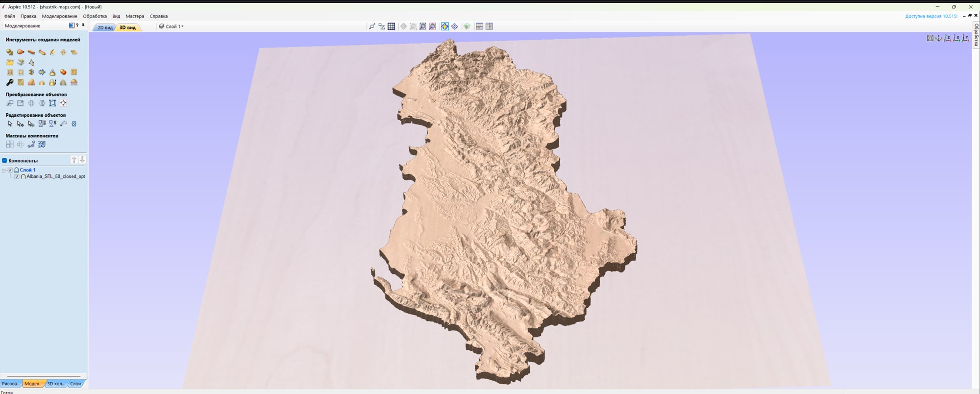
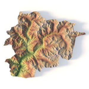
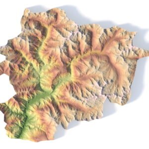
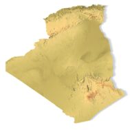
Detailed Terrain STL Model of Albania’s Landscapes
![]()
- File size: 217 MB
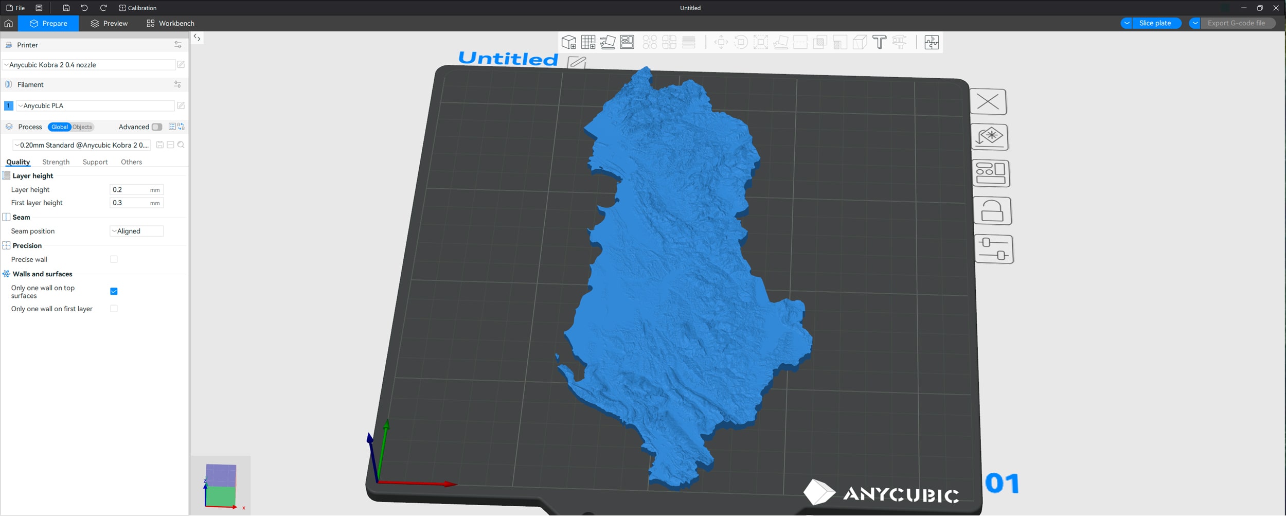
- Model size: 198 mm х 443 mm х 11 mm
- Projection: Mercator
- Scaling factor: X — 0,001; Y — 0,001; Z — 0,002
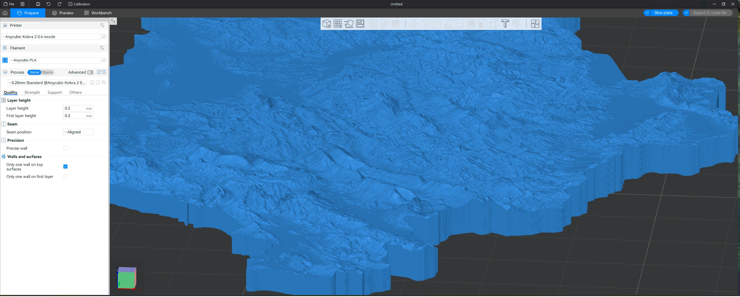
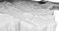
- Polygons: 4 553 162
- Vertices: 2 276 589
- Geometry: Polygonal Tris only
- Base: Closed
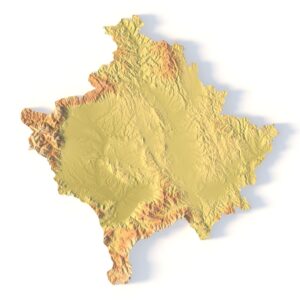
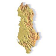
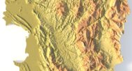
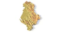
Explore Albania’s diverse landscapes with our high-resolution Albania Topographic Map STL Model. This detailed 3D model captures Albania’s stunning mountain ranges, coastal plains, and rugged terrain, making it ideal for relief maps, educational projects, and design work. Whether you’re studying Albania’s geography or using it for a creative project, this model offers accurate elevation data and precise landform analysis.
Applications of the Albania Topographic STL Model
3D Printing: Create physical models of Albania’s terrain using FDM or SLA 3D printers, showcasing the country’s elevation changes and unique topography.
CNC Machining: Perfect for crafting detailed relief maps from wood or metal, this model offers high precision for professional design and geographic analysis.
Laser Engraving: Use this model for high-precision laser engraving on metals, capturing the intricate details of Albania’s mountains, rivers, and valleys.
Detailed Terrain Representation for Education & Professional Use
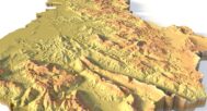
This Albania topographic map provides a comprehensive digital elevation model (DEM), offering accurate elevation data for researchers, educators, and designers. From the Albanian Alps to the Adriatic and Ionian coastlines, this model accurately reflects Albania’s geographical diversity, making it an essential resource for landform analysis and terrain visualization.
Bring Albania’s landscapes to life with our Albania Topographic Map STL Model. Download now to create detailed and customizable 3D models of Albania’s breathtaking terrain.


Why Choose This Albania STL Terrain Map?
✔ Precision landform representation
✔ Printable and carveable in various sizes & materials
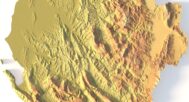
✔ High-detail Albanian topography (mountains, rivers, valleys)
✔ Ready-to-use for creative, academic, and professional projects
✔ Optimized for terrain modeling and realism
Sample Use Cases
Print a classroom-ready model of Albania’s mountainous regions
CNC-carve the country’s terrain into wood or metal for artistic displays
Build elevation-aware 3D site layouts for architectural projects
Create Albania-themed 3D art or decorative pieces
Produce unique souvenirs for geography and travel enthusiasts