

Zion Canyon Trail 3D Model
Original price was: $30.00.$20.00Current price is: $20.00.
![]()
3D model
- Format: C4D
- File size (unzipped): 948 MB
- Polygons: 16 572 886
- Vertices: 8 292 821
- Geometry: Polygonal Tris only
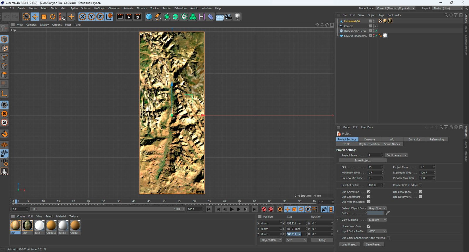
- Model size: 153.924 mm x 385.911 mm x 18.121 mm
- Projection: Mercator
- Base: Open
- UV layer: Yes (frontal)
Additionally
STL (790 MB) – open from below – for CNC
If you need to prepare the model for 3D printing (close the bottom, add the base, check for errors), send a request.
Textures
- Format: TIF
- File size: 135 MB
- Resolution: 7000*7000*48b
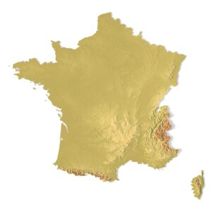
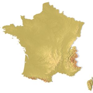
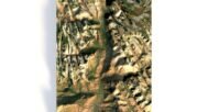
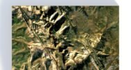
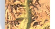
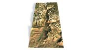
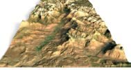
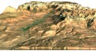
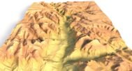
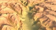
Embark on an exhilarating journey into the heart of Zion Canyon, located in the breathtaking state of Utah, with our new Zion Canyon Trail 3D Model. Recreated with attention-grabbing detail, this model offers the opportunity to virtually explore the wonders of one of Utah’s most iconic natural landmarks.
Utah’s Zion Canyon, renowned for its towering sandstone cliffs, narrow slot canyons, and diverse wildlife, serves as a captivating backdrop for adventure and exploration.
Whether you’re in the tourism, education, graphic design, or project visualization industry, the Zion Canyon Trail 3D Model is an indispensable tool for bringing the magic of Zion Canyon to life. Expand horizons with our model and inspire your clients and students with captivating adventures in this remarkable corner of the American Southwest.
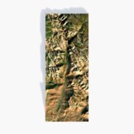
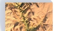
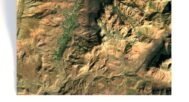
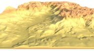
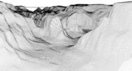
Grand Canyon DEM

The elevation map is used to get information about low and high parts of relief.
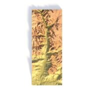
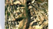
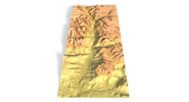
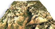
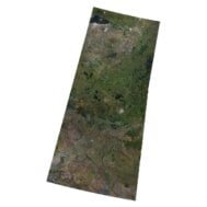
Grand Canyon Texture

Texture is high resolution in TIF format.
Have a Question?
Do you need more resolution satellite images?
Do you need a 3D map in BLEND, OBJ or FBX format?