Solar System
 World
World Continents
 Peninsulas
 Islands
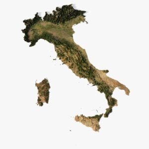
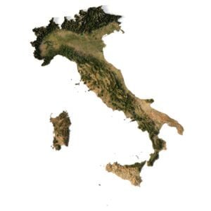
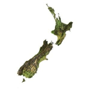
 Countries
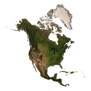
 States of America
 Canadian Provinces
 Parks & Canyons
 Fantasy
 Other
Other Planets
 Satellites
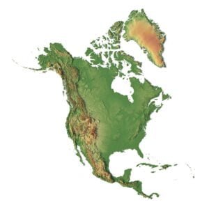
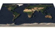
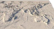
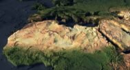
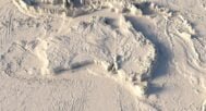
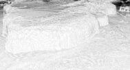
Our 3D World Map Model offers a highly detailed, visually captivating representation of the world. Perfect for topographic visualization, this model is an excellent tool for education, spatial analysis, or decorative purposes.


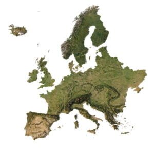
Europe 3D Map
$28.00
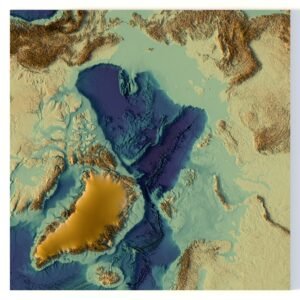
North Pole 3D model
Original price was: $30.00.$20.00Current price is: $20.00.
World Map 3D Model
$28.00
3D World Map Model – A Stunning Geographical Representation in 3D
![]()
3D model
- Format: C4D/OBJ (on request)
- File size: 956 MB
- Polygons: 10 445 824
- Vertices: 10 452 289
- Geometry: Polygonal Tris only
- Model size: 432 mm x 216 mm x 5 mm
- Projection: Geographic
- Base: Open
Textures
- Format: TIF
- File size: 187 MB
- Resolution: 21600*10800*24b
- UV layer: yes
Description
Discover the World in 3D
Explore the beauty of the world like never before with our interactive globe. This three-dimensional cartography tool provides a unique experience by showcasing global landscapes and terrain mapping in exceptional detail.
An Educational and Interactive Tool for Everyone
Whether you’re an educator, student, or geography enthusiast, our 3D World Map Model is designed to serve as an invaluable educational tool. It provides a deeper understanding of the Earth’s features through spatial modeling and detailed global dataset visualization.
Ideal for Cartographic Design and Virtual Environments
Our world map model is ideal for those looking to enhance their virtual environment designs. With precise cartographic design, this model brings geography to life, offering a compelling tool for professional and personal projects.
Perfect for Topographic and Terrain Mapping
Featuring high-quality terrain mapping, this 3D world map is designed to capture the Earth’s physical geography in stunning accuracy. Use it to visualize elevations, geographic features, and landscape layouts, making it ideal for professional and academic applications.

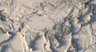
In addition to the 3D terrain model of the World, I can attach a map of heights and various satellite textures.
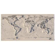
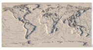
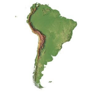
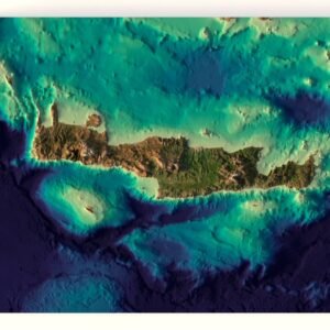
World Map DEM

The elevation map is used to get information about low and high parts of the World relief.
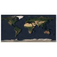
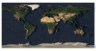
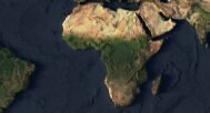
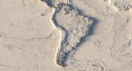
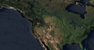
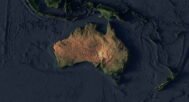
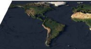
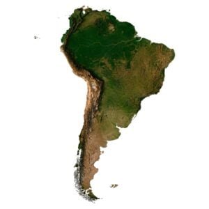
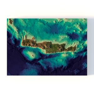
Satellite image of World

The satellite texture is high resolution in TIF format.
Have a Question?
Do you need an extra high resolution 3D terrain of the World?
Do you need Shapefile?
Do you need more resolution satellite images?
Do you need a 3D models in BLEND, OBJ or FBX format?
Do you need Shapefile?
Do you need more resolution satellite images?
Do you need a 3D models in BLEND, OBJ or FBX format?
Related products
Original price was: $30.00.$20.00Current price is: $20.00.