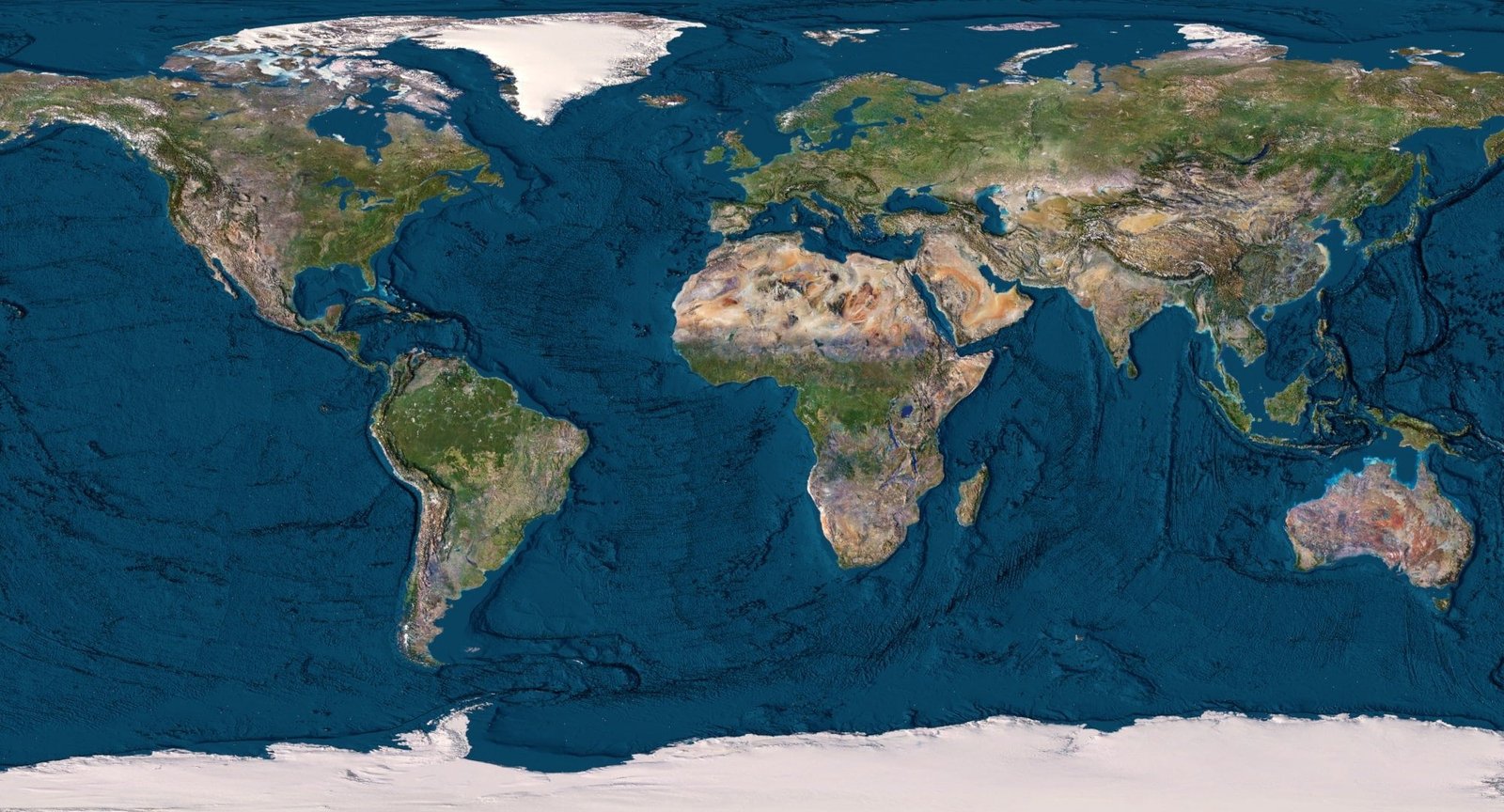
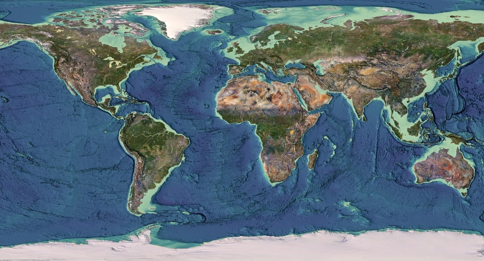
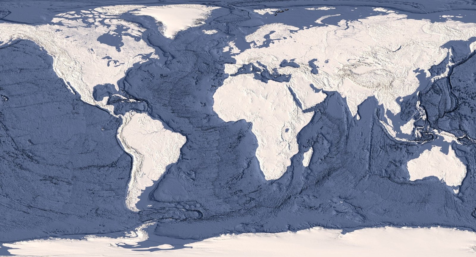
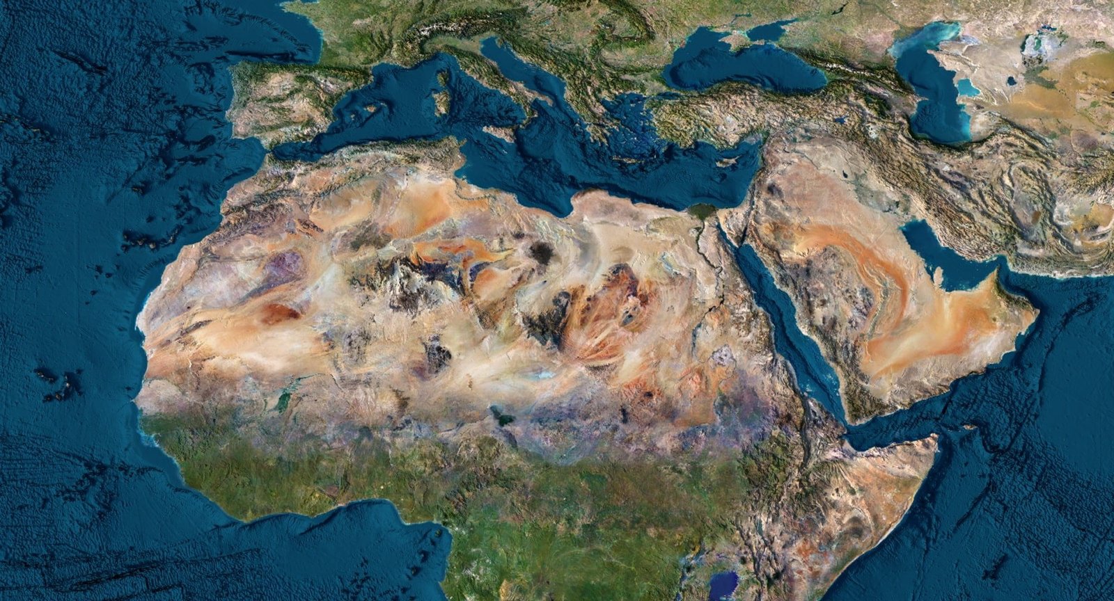
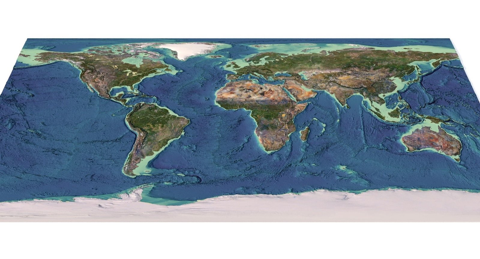
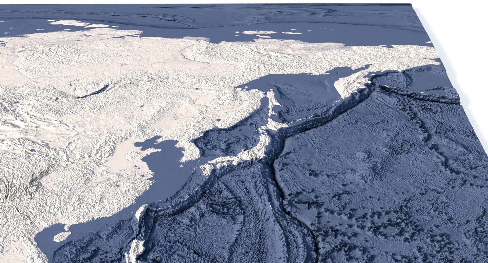
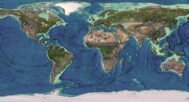
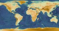
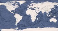
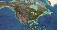
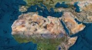
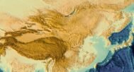
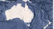
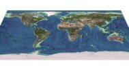
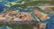
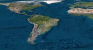
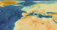
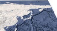
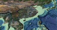
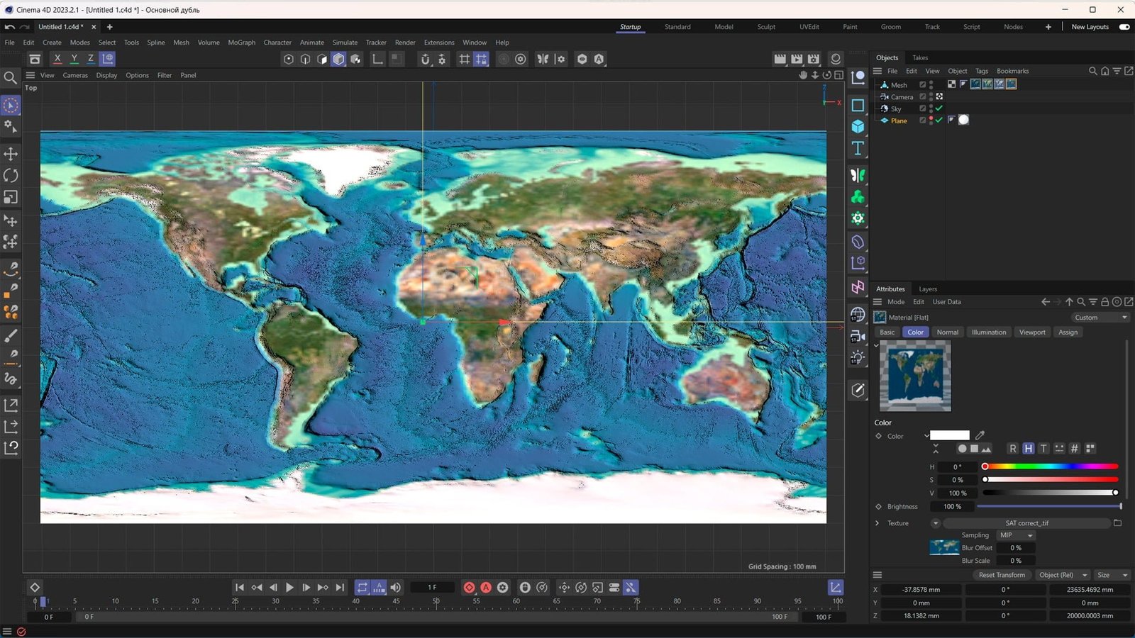
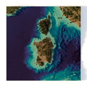
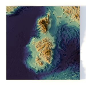
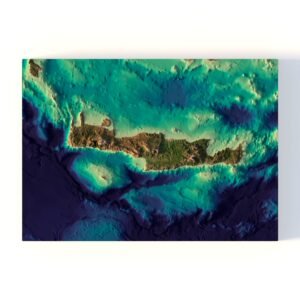
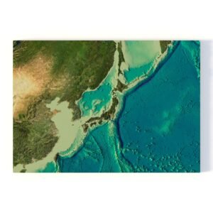
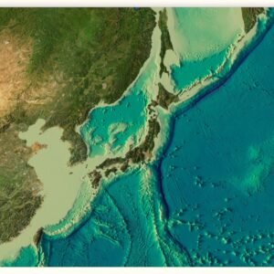
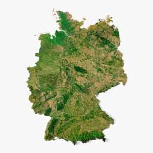
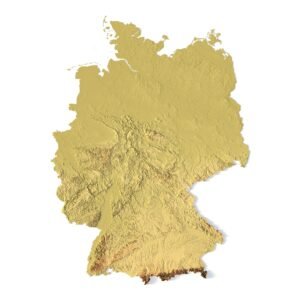
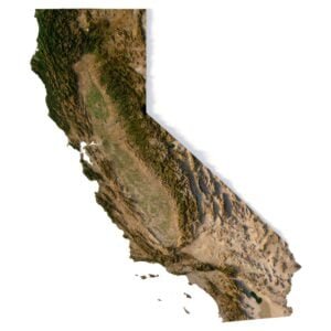
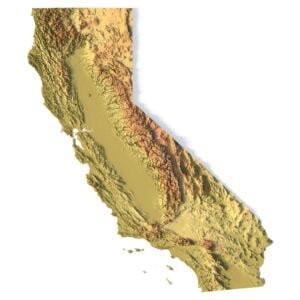
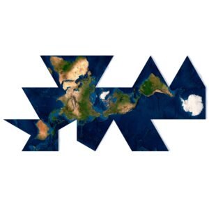
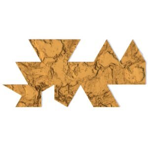
The World Earth Map 3D is a comprehensive, high-resolution model of the Earth in 3D. This stunning digital representation features precise topographic details and landforms in an interactive format. It’s perfect for architects, designers, and educators seeking a realistic and detailed view of the world’s geography, without the need for a traditional globe.


World Earth Map 3D Model
$35.00
World Earth Map 3D – A Detailed 3D Model of the Earth
![]()
- Format: C4D/OBJ (on request)
- File size (unzipped): 572 MB
- Polygons: 9 988 760
- Vertices: 4 999 122
- Geometry: Polygonal Tris only
- Model size: 2812.5 mm x 1406.25 mm x 21.801 mm
- Projection: Geographic
- Base: Open
Textures
- Height Map TIF 16348*8197*16b – You can use this map in the displacement channel instead of the polygonal mesh
- Normal Map TIF 16348*8197*48b – Use this map to reveal fine details of the relief
- Satellite Map TIF 22500*11250*24b
- Water Map TIF 22500*11250*32b
- Pseudo-color Map 22500*11250*24b – Use this map to get elevation information based on the color shade
- Boundary Mask TIF 22500*11250*24b – Use this map as a mask for your background
We accept VISA, Mastercard, ApplePay, GooglePay and other payment methods
You can also purchase this product using MasterCard/Visa on
RenderHub → and 3Dexport →.
Explore a Flat 3D Earth Map with Exceptional Detail
Unlike a globe, this 3D world map presents the Earth in a flat yet fully interactive format, ideal for visualizing latitude and longitude, elevation models, and geographic features across continents and oceans. You can examine each country and terrain with accurate topographical and cartographic precision.
High-Resolution Satellite Imagery and Topography
The World Earth Map 3D utilizes satellite imagery and elevation data to create an engaging and educational 3D experience. The map includes detailed landforms, mountain ranges, valleys, and more, allowing users to explore the Earth’s diverse geography with realistic depth and clarity.
Perfect for 3D Visualization and Mapping Applications
Whether you’re working on a professional geospatial data project or looking for an engaging way to teach cartography, this model offers an exceptional tool for 3D visualization. Zoom in to explore terrain, water bodies, and geographic borders with ease, making it a versatile asset for any project.
Key Features of the World Earth Map 3D Model
- High-resolution 3D visualization of Earth’s surface in a flat layout
- Accurate topographic features such as mountains, valleys, and plateaus
- Realistic satellite imagery for added detail and accuracy
- Detailed cartographic representation of countries, continents, and bodies of water
The Best World Earth Map 3D for Visualization Projects
This 3D world map model is perfect for anyone looking to add a realistic Earth visualization to their projects. Ideal for educators, designers, and geographers, the World Earth Map 3D provides an immersive look at the world’s surface, suitable for both educational and professional applications.
In addition to the 3D terrain model of the World, I can attach a map of heights and various satellite textures.
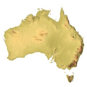
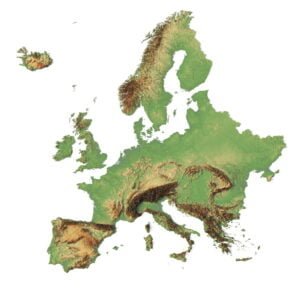
World DEM
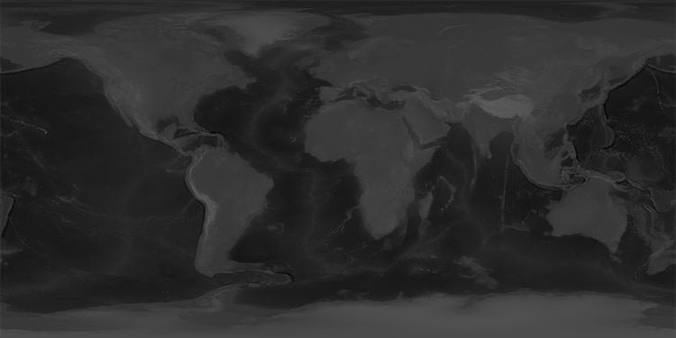
The elevation map is used to get information about low and high parts of the World relief.
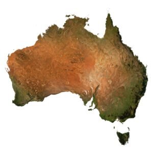
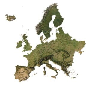
Satellite image of World
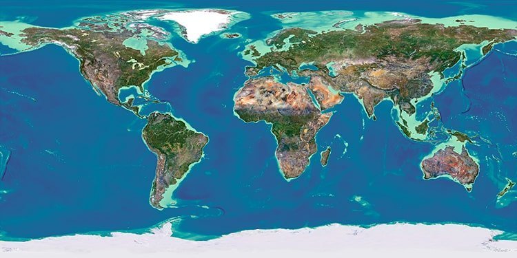
The satellite texture is high resolution in TIF format.
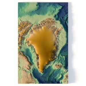
World Normal Map
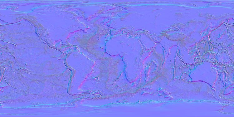
Use this map to reveal fine details of the relief.
Have a Question?
Do you require Shapefile?
Do you require more resolution satellite images?
Do you require a 3D models in BLEND, OBJ, FBX or STL format?


