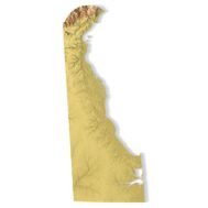
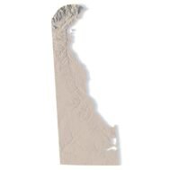
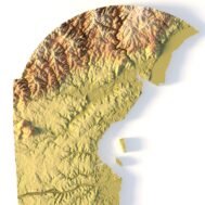
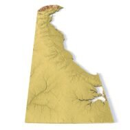
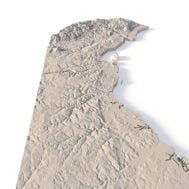
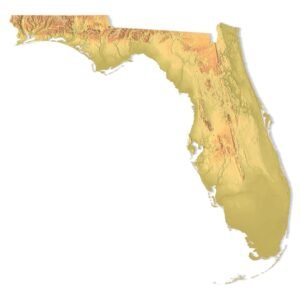
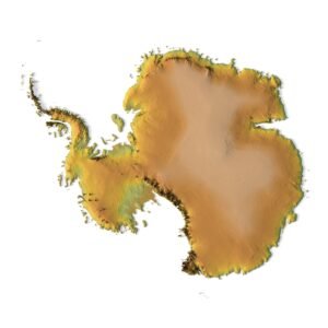
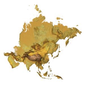
Features of the Delaware Topographic STL Model
- Compatible with FDM/SLA 3D printers to create terrain models in plastic or photopolymer.
- Designed for CNC machines for creating wood or metal models.
- Supports high-precision laser engraving for metal surface relief maps.
Uses for the Delaware Topographic Map STL
This STL file is ideal for creating raised relief maps and detailed physical representations of Delaware’s landscape. It is suitable for geospatial analysis, terrain visualization, or as an educational tool for studying topography. The model can be used to produce accurate landform representation using 3D printing, CNC machining, or laser engraving.
How to Use the Delaware Terrain STL Model
The Delaware topographic map STL can be imported into mapping software for customization or further editing. With its precise elevation model and detailed contour lines, this model can be used for professional or personal projects involving 3D printing, CNC routing, or high-precision laser engraving.
 Solar System
 World
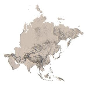
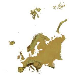
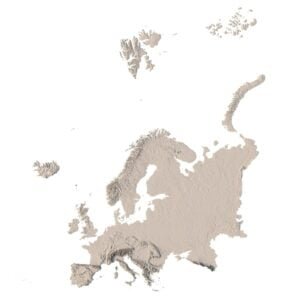
World Continents
 Peninsulas
 Islands
 Countries
 States of America
 Canadian Provinces
 Parks & Canyons
 Fantasy
 Other
Other Planets
 Satellites