Nova Scotia Terrain 3D Map 3D Model
$35.00
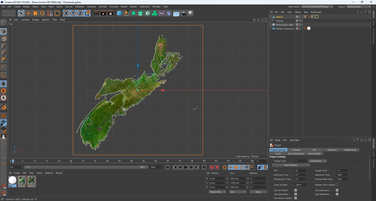
![]()
3D model
Format: C4D
File size (unzipped): 572 MB
Polygons: 9 990 450
Vertices: 4 999 696
Geometry: Polygonal Tris only
Model size: 1025 mm x 1025 mm x 1.536 mm
Projection: Lambert Conformal Conic
Base: Open
Textures
Height Map TIF 8193*8193*16b – You can use this map in the displacement channel instead of the polygonal mesh.
Normal Map TIF 8193*8193*48b – Use this map to reveal fine details of the relief.
Satellite Map TIF 8200*8200*48b
Water Mask TIF 8200*8200*48b – Use this map for masking in the Reflection channel to get glare from the water surface.
Pseudo-color Map 8200*8200*48b – Use this map to get elevation information based on the color shade.
Boundary Mask TIF 8200*8200*48b – Use this map as a mask for your background.
Other models can be made on request.
Modifications, conversion to OBJ, FBX, STL and other formats, more detailed models and better textures on request.
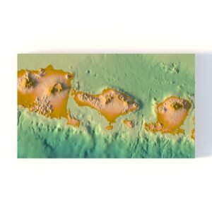
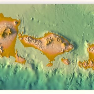
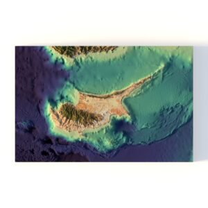
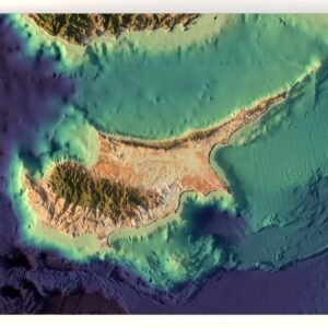
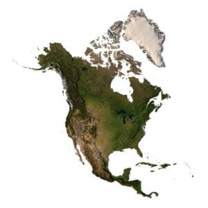
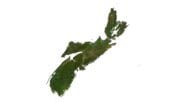
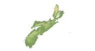
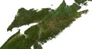
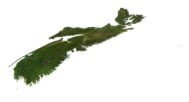
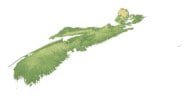
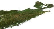
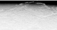
Our Nova Scotia province 3D model provides a realistic visual representation of the geography of this region. This model is ideal for educational projects, geographical research, or creating unique decor. Dive into the amazing world of geography with our Nova Scotia province 3D model today!
The model is created using a combination of data from satellite imagery and topographical surveys. This data is then processed and used to create a highly detailed and accurate digital model of the terrain. The model is created at a high resolution, which allows for fine details to be captured and represented accurately.
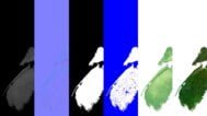
In addition to the 3D terrain of Nova Scotia, you get a map of heights, a map of normals, satellite textures and other maps.
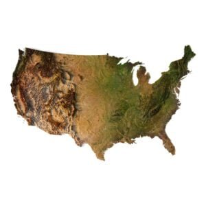
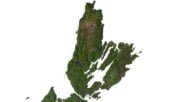
Height Map

You can use this map in the displacement channel instead of the polygonal mesh.
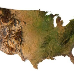
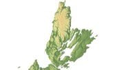
Normal Map

Use this map to reveal fine details of the relief.
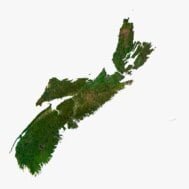
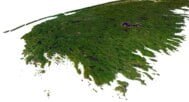
Satellite image

The satellite texture is high resolution in TIF format.
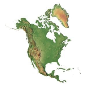
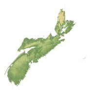
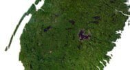
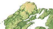
Pseudo-color Map

Use this map to get elevation information based on the color shade.
Water Mask

Use this map for masking in the Reflection channel to get glare from the water surface.
Have a Question?
Do you need Shapefile?
Do you need more resolution satellite images?
Do you need a 3D model in BLEND, OBJ or FBX format?
Related products