Solar System
 World
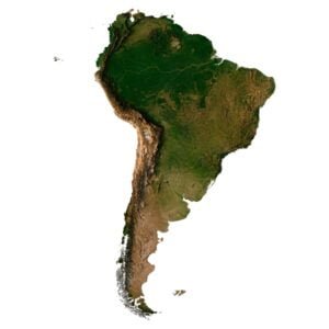
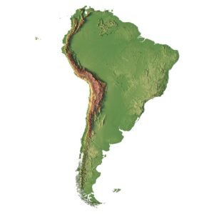
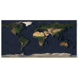
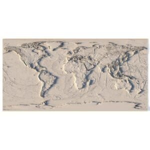
World Continents
 Peninsulas
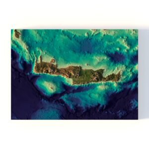
 Islands
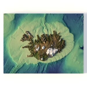
 Countries
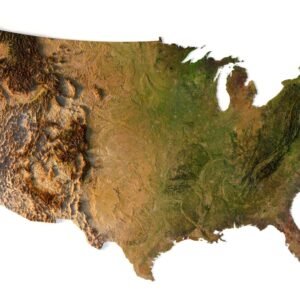
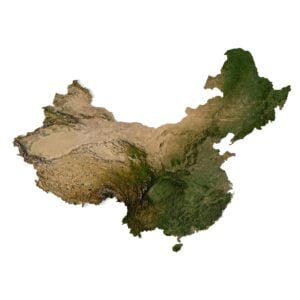
 States of America
 Canadian Provinces
 Parks & Canyons
 Fantasy
 Other
Other Planets
 Satellites


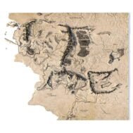
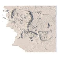
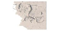
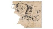
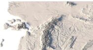
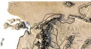
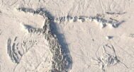
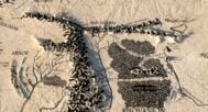
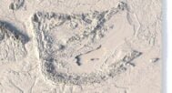
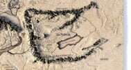
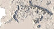
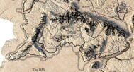

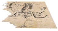
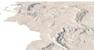
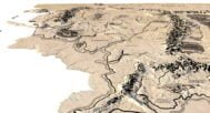
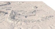
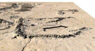
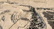
The Middle Earth map 3D model is a highly detailed and accurate representation of the fantasy world created by J.R.R. Tolkien in his famous Lord of the Rings series. The map includes all the major locations and landmarks from the story, such as the Shire, Mordor, and the Lonely Mountain, as well as many smaller towns and villages.
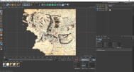
This 3D model is perfect for graphic design, as it can be rendered in a variety of styles and resolutions, and can be used to create stunning images, posters, and other visual materials.
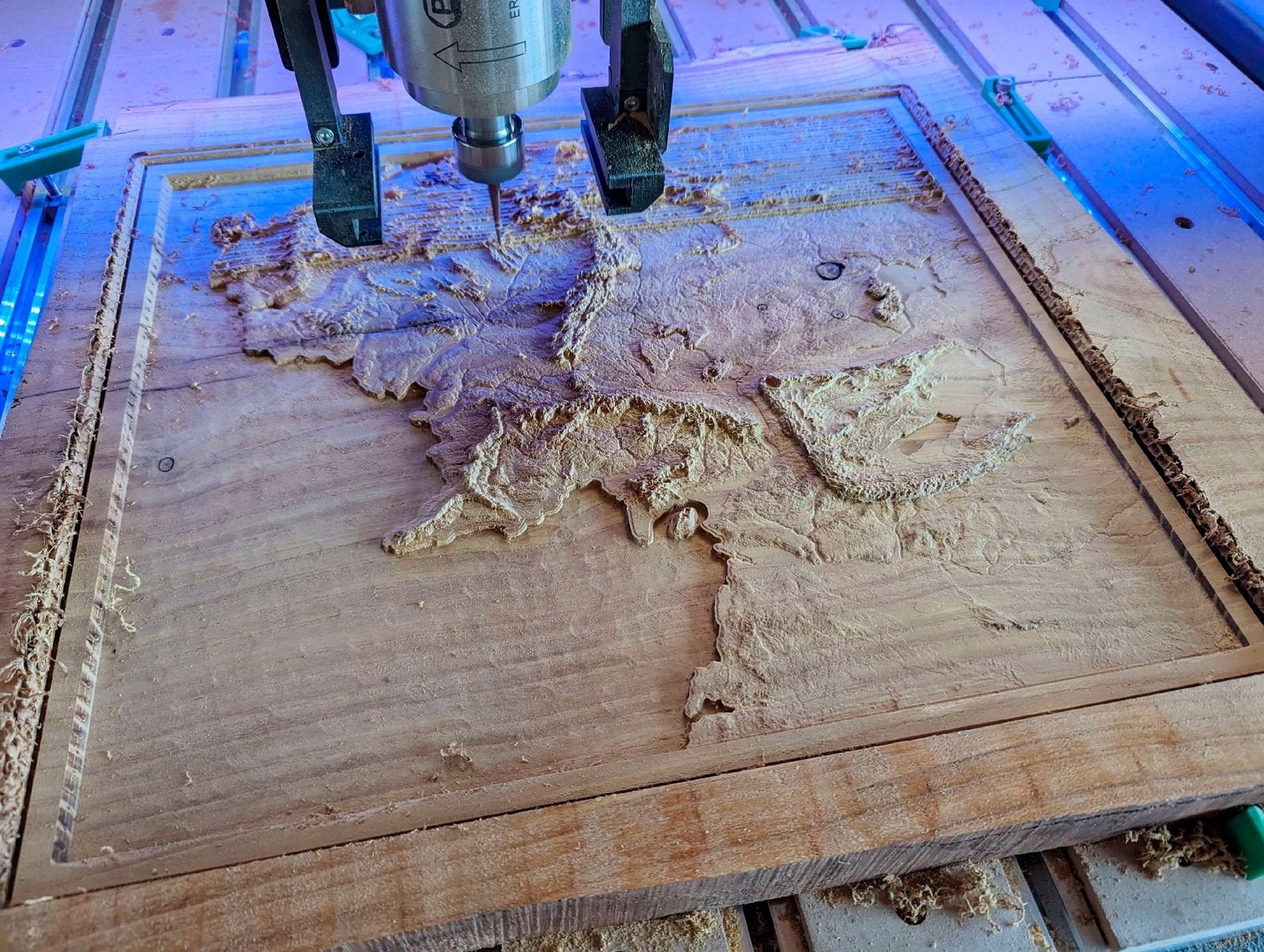
Additionally, the 3D model can also be used for printing on a 3D printer, or milling on a CNC machine. This makes it ideal for creating physical models, miniatures, and other tangible items. Whether you’re a fan of the Lord of the Rings books or movies, or just a lover of fantasy worlds, this 3D model is the perfect addition to your collection.