Solar System
 World
World Continents
 Peninsulas
 Islands
 Countries
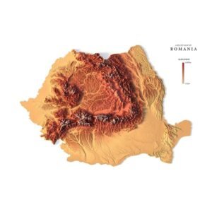
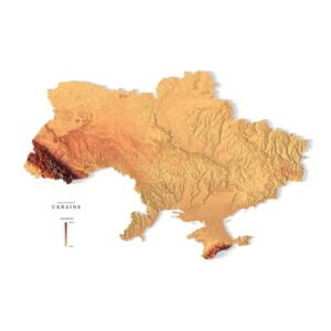
 States of America
 Canadian Provinces
 Parks & Canyons
 Fantasy
 Other
Other Planets
 Satellites
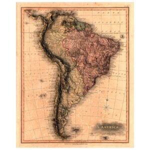
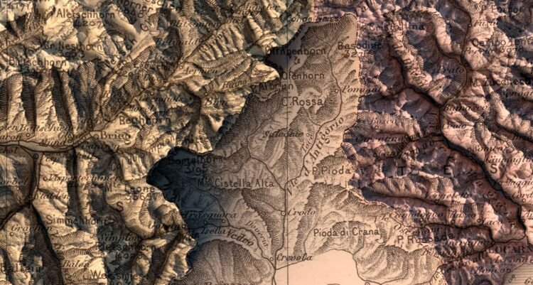
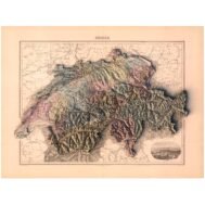
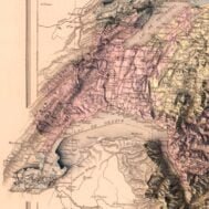
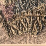
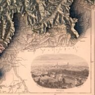
Map of Switzerland and vicinity. Shows political boundaries, cities, railroads, topography, major lakes and drainage, coastlines and islands. Relief shown with hachures. Includes latitudinal and longitudinal lines, as well as a compass rose and bar scale, given in British miles.


Back to products
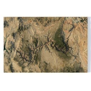
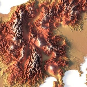
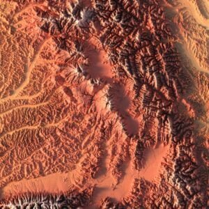
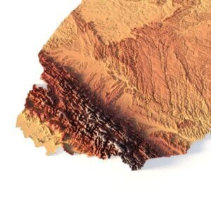
Grand Canyon 3D model
Original price was: $30.00.$20.00Current price is: $20.00.
Map of Switzerland 1892
High-resolution historical map of Switzerland 1892 in PSD format
![]()
- Linear size: 69 x 52 cm
- Pixel resolution: 50 MPx (8183 px x 6148 px)
- File size: ~300 MB
- Compression: No compression
- Color Depth: 16 Bit/channel
- Color model: CMYK
- Print resolution: 300 DPI
Description