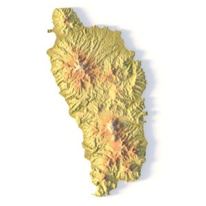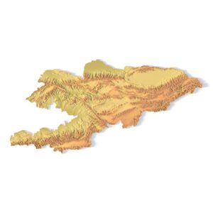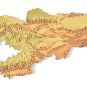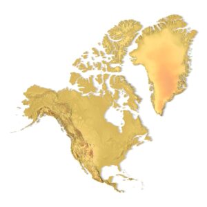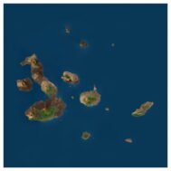
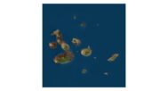
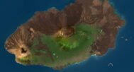
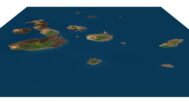

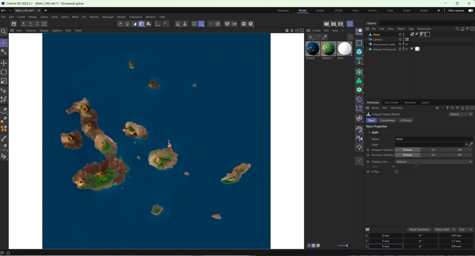
Galapagos Islands 3D Terrain Model (OBJ) – DEM + Satellite Map)
$35.00
![]()
Format: OBJ (export to C4D/FBX on request)
File size (unzipped): 309 MB
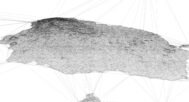
Polygons: 1 399 062
Vertices: 4 996 946
Geometry: Polygonal Tris only
Model size: 370 mm x 370 mm x 1.7 mm
Projection: Mercator
Base: Open
Textures
Height Map TIF 8192*8193*16b – You can use this map in the displacement channel instead of the polygonal mesh.
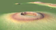
Normal Map TIF 8193*8193*48b – Use this map to reveal fine details of the relief.
Satellite Map TIF 16900*16900*24b
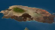
Pseudo-color Map 8453*8453*24b – Use this map to get elevation information based on the color shade.
Other models can be made on request.
Modifications, conversion to C4D, FBX, STL and other formats, more detailed models and better textures on request.
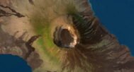
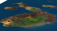
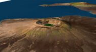
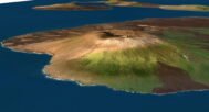
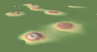
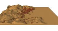
Galapagos Islands 3D Model is a high-quality, optimized terrain mesh in OBJ format, created for professional visualization, animation, and mapping projects. This model includes a complete set of essential texture and elevation maps: a DEM height map, a detailed normal map, a high-resolution satellite texture, and a pseudo-color relief texture to highlight terrain features and geological structure.
Accurate UV mapping for perfect textures
The model uses a front-facing UV projection, which ensures clean, precise texture placement across the terrain surface. This method is ideal for satellite-based 3D maps, because it minimizes stretching and keeps geographic features aligned correctly.
Best use cases
This 3D model of the Galapagos Islands is perfect for:
Animation & video production (flyovers, documentaries, science visuals)
Education & interactive learning (geography, geology, ecosystems)
Web design & interactive maps (3D terrain for websites and presentations)
Cartography & infographics (posters, map layouts, high-res renders)
Tourism & marketing (promo videos, destination visualization)
Compatible software
You can import the OBJ model into Blender, Cinema 4D, 3ds Max, Maya, Unreal Engine, Unity, and other 3D pipelines.
If you need this terrain model in another format (FBX, C4D, glTF) or in a custom projection/resolution, I can prepare a custom export on request.
In addition to the 3D terrain model of the Galapagos Islands, you will also receive an elevation map, a normal map, satellite imagery, and other maps.
Height Map

You can use this map in the displacement channel instead of the polygonal mesh.
Normal Map

Use this map to reveal fine details of the relief.
Satellite image

The satellite texture is high resolution in TIF format.
Pseudo-color Map

Use this map to get elevation information based on the color shade.
Have a Question?
Do you need shapefiles?
Do you need higher-resolution satellite imagery?
Do you need a 3D model in BLEND, C4D, or FBX format?