Solar System
 World
World Continents
 Peninsulas
 Islands
 Countries
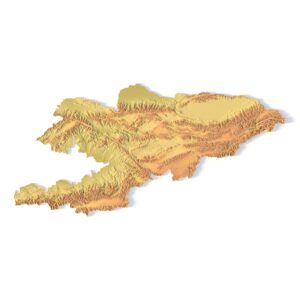
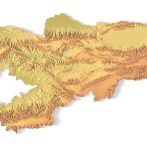
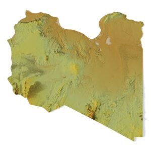
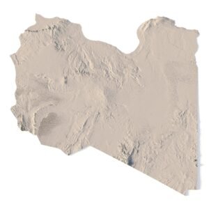
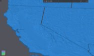
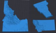
 States of America
 Canadian Provinces
 Parks & Canyons
 Fantasy
 Other
Other Planets
 Satellites


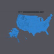
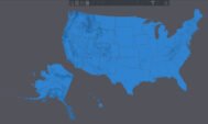
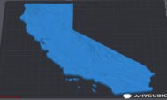
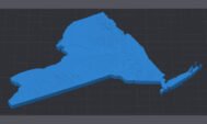
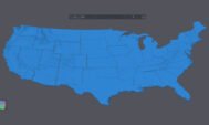
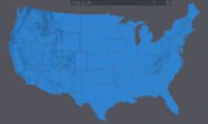


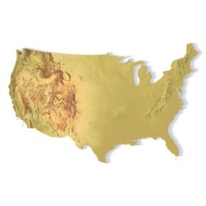
Explore the detailed topography of the United States with this high-resolution 3D model. Designed for 3D printing (FDM/SLA) and CNC carving, this digital elevation model captures the mountains, rivers, plateaus, and coastal regions of all 50 states. Each state is an independent 3D-printable piece, allowing you to assemble a fully detailed topographic puzzle of the USA.
Perfect for educational projects, topographic visualization, and decorative art, this model is optimized for high-precision manufacturing, making it a great choice for 3D designers, cartographers, and hobbyists.