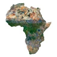
Africa Satellite Map
$10.00
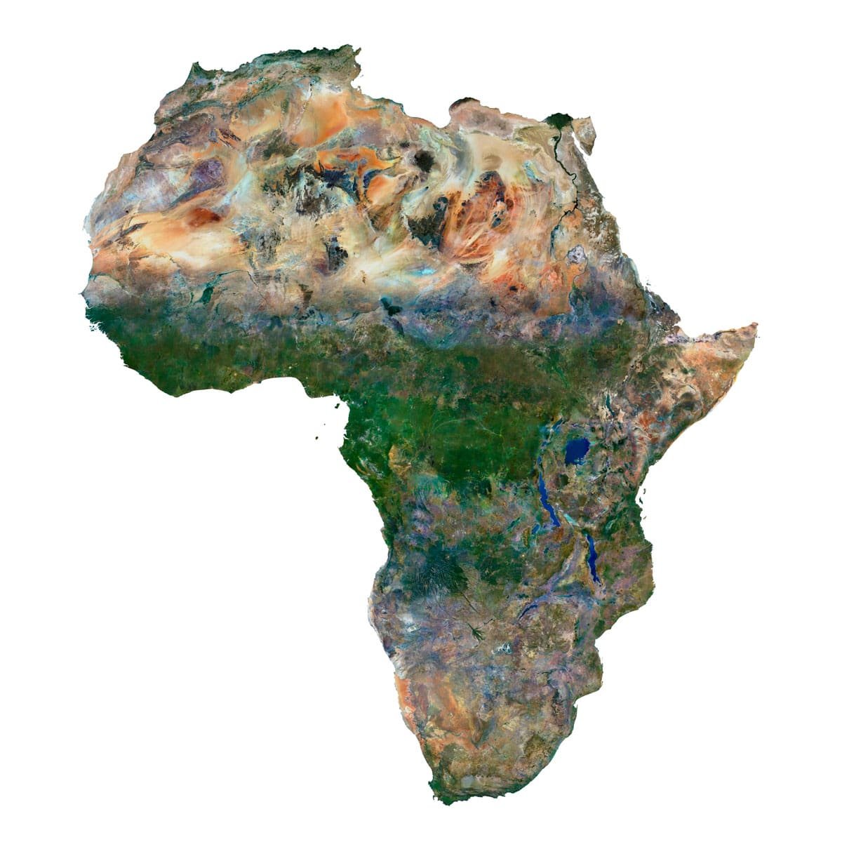
Africa Satellite Map – High-Resolution Satellite Imagery for 3D Modeling, Cartography, and Decor
- Format: TIF
- Resolution: 14700*16400 px
- Depth: 48 bit
- Size: 505 MB
- Color scheme: RGB
- Projection: Mercator
We accept VISA, Mastercard, ApplePay, GooglePay and other payment methods
You can also purchase this product using MasterCard/Visa on
RenderHub → and 3Dexport →.
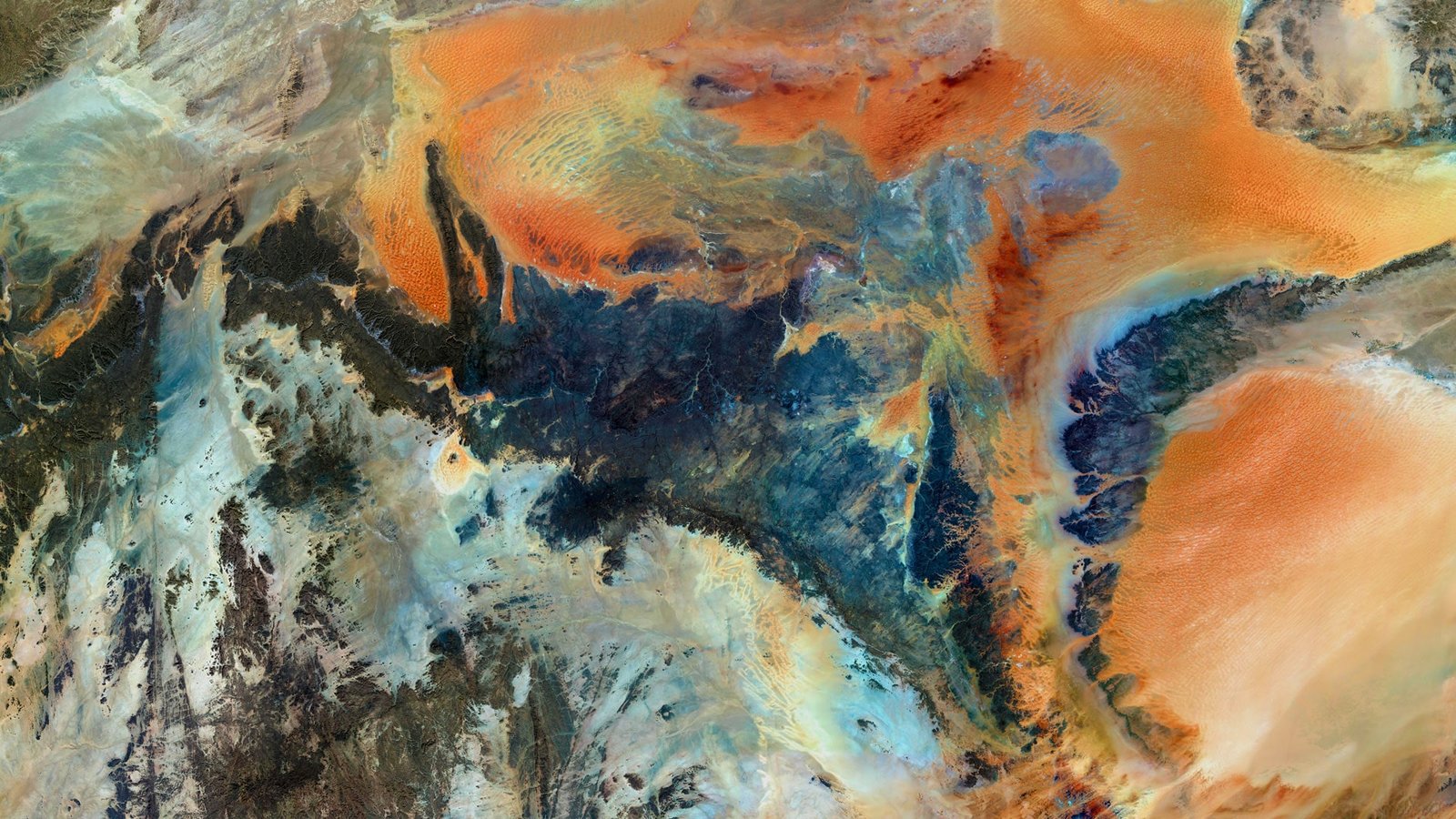
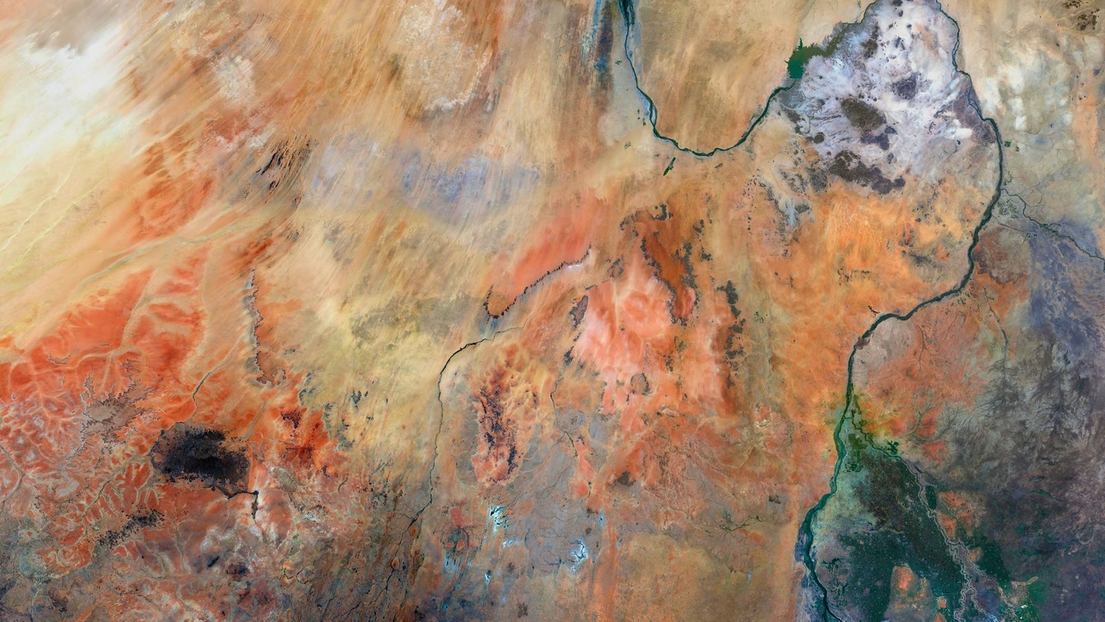
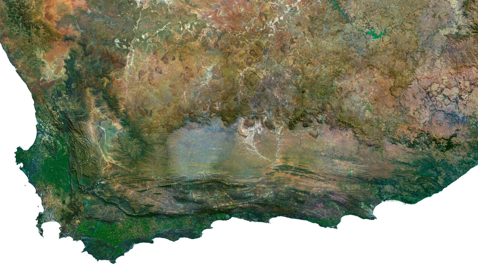
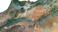
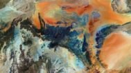
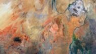
The Africa Satellite Imagery provides a stunning, high-resolution view of Africa’s diverse landscape. Perfect for applications in 3D modeling, geographic research, environmental studies, and decor, this map delivers the latest satellite data in exceptional detail. Whether you’re analyzing land cover, monitoring urban development, or enhancing your office decor, this satellite map of Africa offers unparalleled clarity and accuracy.
What is Africa Satellite Imagery?
Africa satellite imagery is a detailed representation of the continent’s surface, captured from space. This data-rich map displays natural and man-made features, including cities, forests, rivers, and mountains. It’s a key tool for professionals in cartography, geospatial data analysis, and remote sensing, providing clear images that support projects from disaster management to climate change analysis.
Applications of Africa Satellite Imagery
- 3D Modeling: Build precise 3D representations of Africa’s terrain, crucial for simulation and architecture projects.
- Cartography: Create accurate and detailed maps for navigation, land use mapping, and urban planning.
- Geographic Research: Analyze geographic features like vegetation, water bodies, and land cover, aiding environmental monitoring.
- Environmental Studies: Monitor deforestation, track climate changes, and manage natural resources efficiently.
- Urban Development: Plan and manage infrastructure in cities by using up-to-date satellite images.
- Decor: Use the high-resolution satellite imagery as stunning wall art, bringing a unique and sophisticated aesthetic to your space.
FAQ
This map is not geo-referenced, but feel free to contact us to obtain a file with geo data if needed.
Yes, we offer custom projections upon request. Contact us for details.
Yes, if you need the map in a different file format, please contact us. We offer various formats to meet your needs.
Yes, of course. Please specify the desired 3D model format, dimensions and how you will use it. This will help me to prepare an optimal model for you.
Absolutely! If you require a higher resolution version, just let us know, and we can provide a version that fits your requirements.
Yes, we can customize the map with different projections or remove boundaries as needed. Please reach out to us with your specifications, and we’ll accommodate your request.
For custom sizes or additional features, please contact us directly. We are happy to work with you to create a tailored map that fits your specific needs.
Absolutely! The map is available in high resolution, making it suitable for large format printing without losing detail. Be sure to check with your printing company if they require RGB-to-CMYK color conversion for best results.
In addition to educational and decorative uses, the map can be utilized for trip planning, natural resource research, and as a creative gift.
If you have any other questions or special requests, feel free to get in touch with us. We’re here to help!
