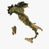


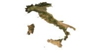


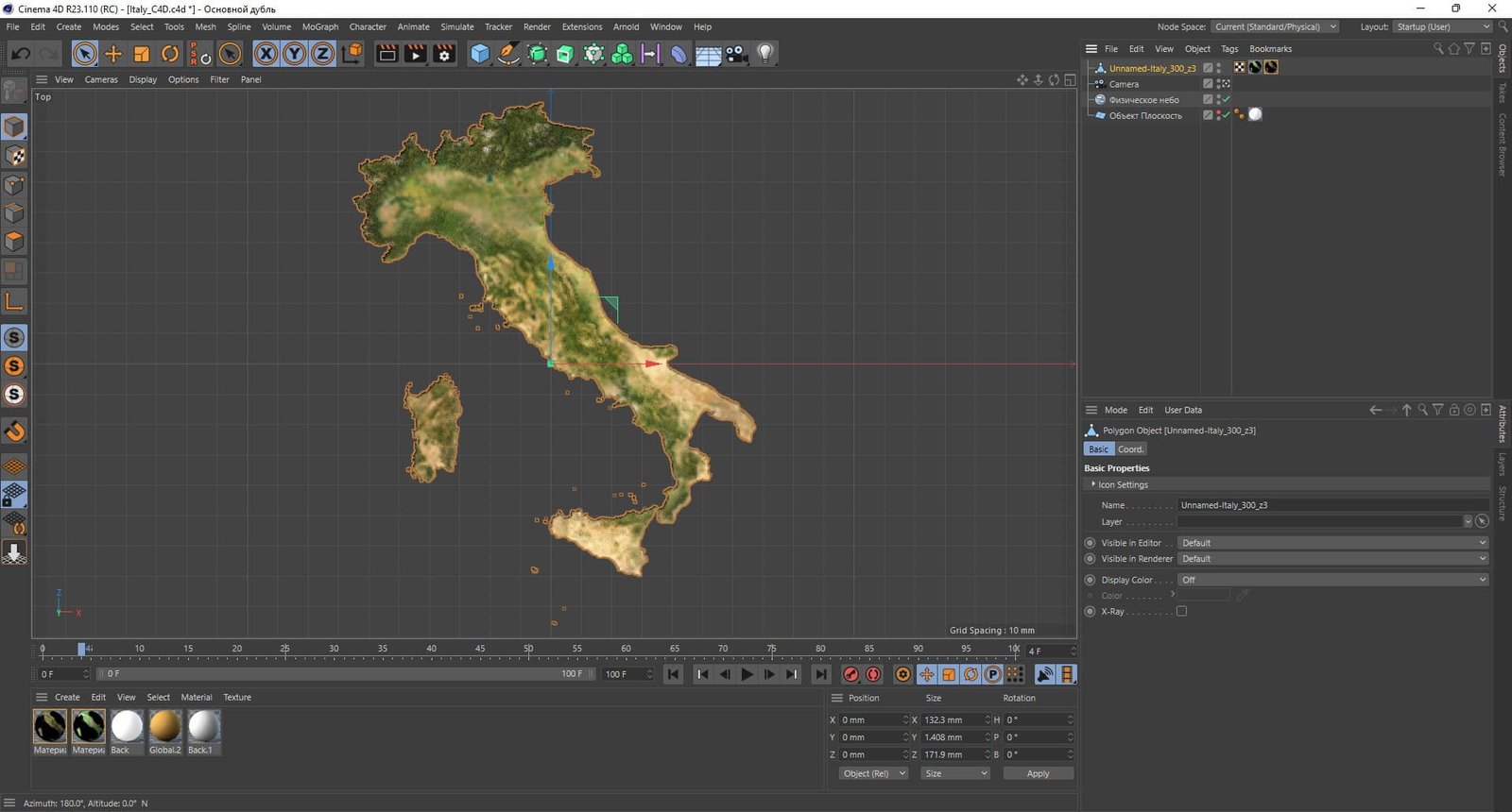
Italy terrain 3D model
$28.00
Highly detailed polygonal 3D terrain model of Italy with 3 LODs, UV mapping, and satellite texture in TIF format.
![]()
![]()
3D models
- Format: C4D
- File size: 715 MB
- Polygons: 12 468 202
- Vertices: 6 258 883
- Geometry: Polygonal Tris only
- UV Map: yes, frontal
- Model size: 132.3 mm x 171.9 mm x 1.408 mm
- Projection: Mercator
- Base: Open
Added OBJ files with different Levels Of Detail (LOD)
- OBJ: LOD100/LOD50/LOD25
- Files size: 1.34 GB/717 MB/354 MB
- Polygons: 12 468 202/6 234 101/3 117 050
Textures
- Format: TIF
- File size: 251 MB
- Resolution: 6000*6000*48b
🇮🇹 Bring Italy to Life in 3D
Whether you’re developing a cinematic sequence, a geographic simulation, or a high-end architectural render, this Italy 3D Terrain Model delivers the visual fidelity and flexibility you need. With a polygonal mesh, 3 Levels of Detail (LOD), and UV-mapped satellite textures, this model offers ultra-realistic elevation data of Italy for any 3D or game engine project.
🧰 Perfect For:
CGI & VFX
Architectural Visualization
Game Development
Geographic Information Systems (GIS)
Virtual Tourism
WebGL Interactive Maps
Academic or Environmental Research
📌 Why Choose This Model?
✅ Realism: Satellite texture provides accurate topography with vibrant detail.
✅ Flexibility: Use in films, games, simulations, and renders with high performance.
✅ Ready-to-Use: No setup needed – just import and go.
✅ Multiple LODs: Perfect for low-poly scenes and ultra-detailed cinematics alike.
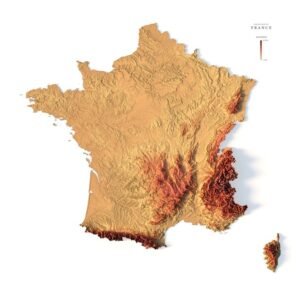
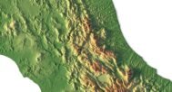
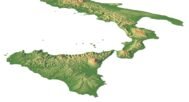
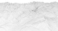
Map of heights in Italy

The elevation map is used to get information about low and high parts of the Italian relief.
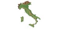
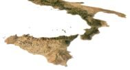
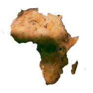
Shapefile of Italy

The shapefile is used to cut the 3D model along the contour.
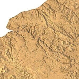
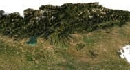
Satellite image of Italy

The satellite texture is high resolution in TIF format.
Have a Question?
Do you need Shapefile of Italy and regions?
Do you need more resolution satellite images Italy?
Do you need a 3D models of Italy in BLEND, OBJ or FBX format?