with high-res satellite texture")


")


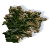
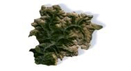
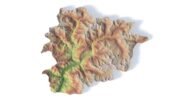

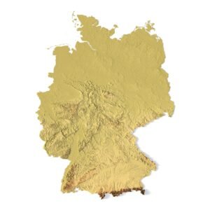
3D Model of Andorra in C4D and OBJ with High-Resolution Textures
$15.00
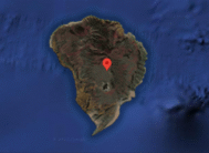
![]()
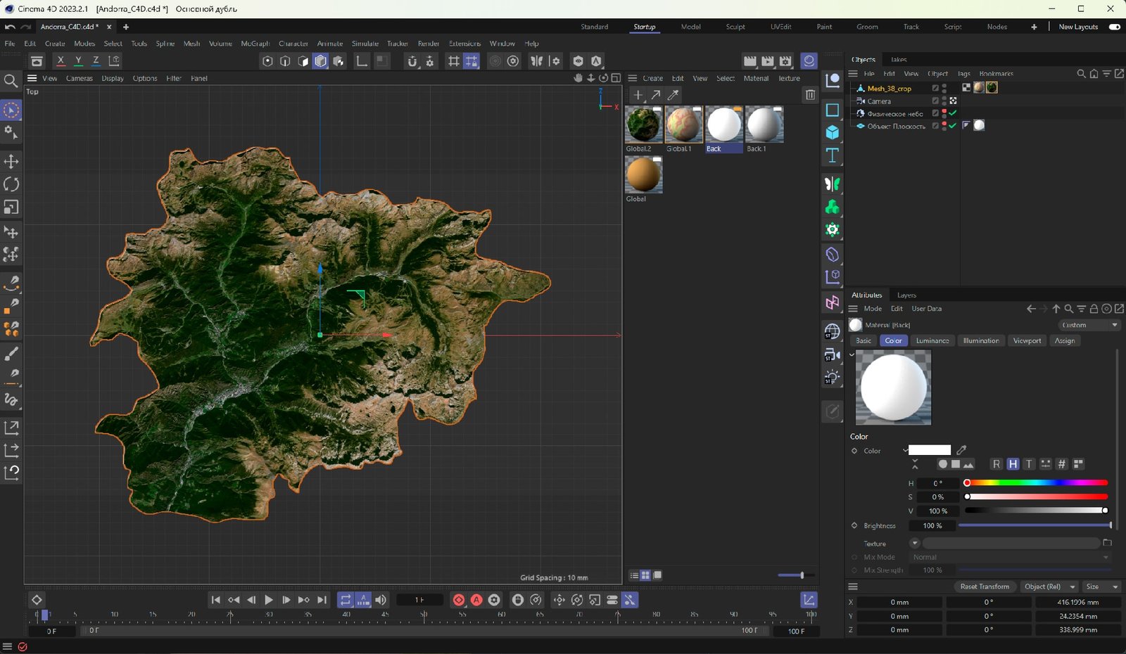
![]()
3D model:
- Format: C4D / OBJ
- File size (unzipped): 69,2 MB / 87,7 MB
- Polygons: 1 202 932
- Vertices: 601 468
- Geometry: Polygonal Tris only
- UV Map: yes, frontal
- Model Size: 416 mm * 339 mm * 24 mm
- Projection: Mercator
- Base: Closed
Textures:
- Format: TIF
- Resolution: 56 MPx (8336*6790 px)
- Files size (unzipped): 45 MB
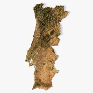
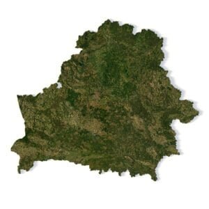
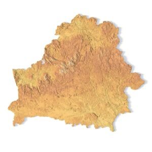
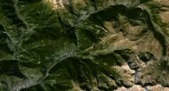
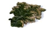
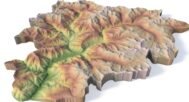
3D Model of Andorra – High-Resolution Terrain for Visualization and Design
The 3D model of Andorra in C4D and OBJ formats is a professional digital product designed for realistic visualization of landscapes and textures. The model comes with an optimized polygonal mesh and detailed satellite textures, including a pseudo-color texture. Thanks to the frontal UV mapping, textures are applied with maximum precision across the terrain surface.
Applications:
🎬 Animation – create cinematic flyovers, historical visualizations, and climate change scenarios.
🎮 Game Development – integrate into game engines like Unity and Unreal Engine for simulations and interactive environments.
📚 Education – use in documentaries, teaching materials, and scientific projects.
🌍 Web & Multimedia – interactive 3D maps, web presentations, and infographics.
🕶️ VR & AR – immersive experiences, 3D virtual tours, and augmented reality projects.
🏞️ Architecture & Design – showcase geographical context in presentations and concepts.
🖼️ Print & Graphics – high-quality renders for posters, infographics, and exhibitions.
Key Advantages:
✅ Delivered in C4D and OBJ formats
✅ Includes high-resolution satellite textures
✅ Optimized mesh for smooth performance
✅ Multi-purpose use across industries
This Andorra 3D model is an essential asset for designers, animators, game developers, and educators. With balanced polygon count and detailed textures, it can be seamlessly integrated into projects of any scale — from creative concepts to professional visualizations.
Have a Question?
Do you need Shapefile?
Do you need more resolution satellite images?
Do you need a 3D model in BLEND, OBJ or FBX format?