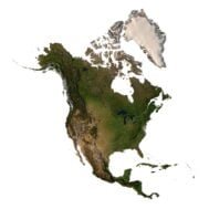
3D Model of South America
$28.00
![]()
![]()
3D models
- Format: C4D/OBJ
- File size: 199 MB/263 MB
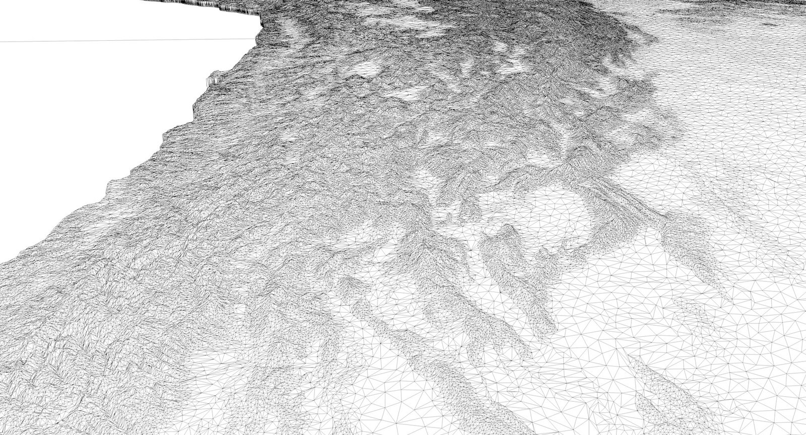
- Polygons: 3 484 493
- Vertices: 1 742 636
- Geometry: Polygonal Tris only
- UV Map: yes, frontal
- Model size: 155 mm x 218 mm x 0.95 mm
- Projection: Mercator
- Base: Closed
Textures
- Format: TIF
- File size: 417 MB
- Resolution: 21103*29691*48b
We accept VISA, Mastercard, ApplePay, GooglePay and other payment methods
You can also purchase this product using MasterCard/Visa on
RenderHub → and 3Dexport →.
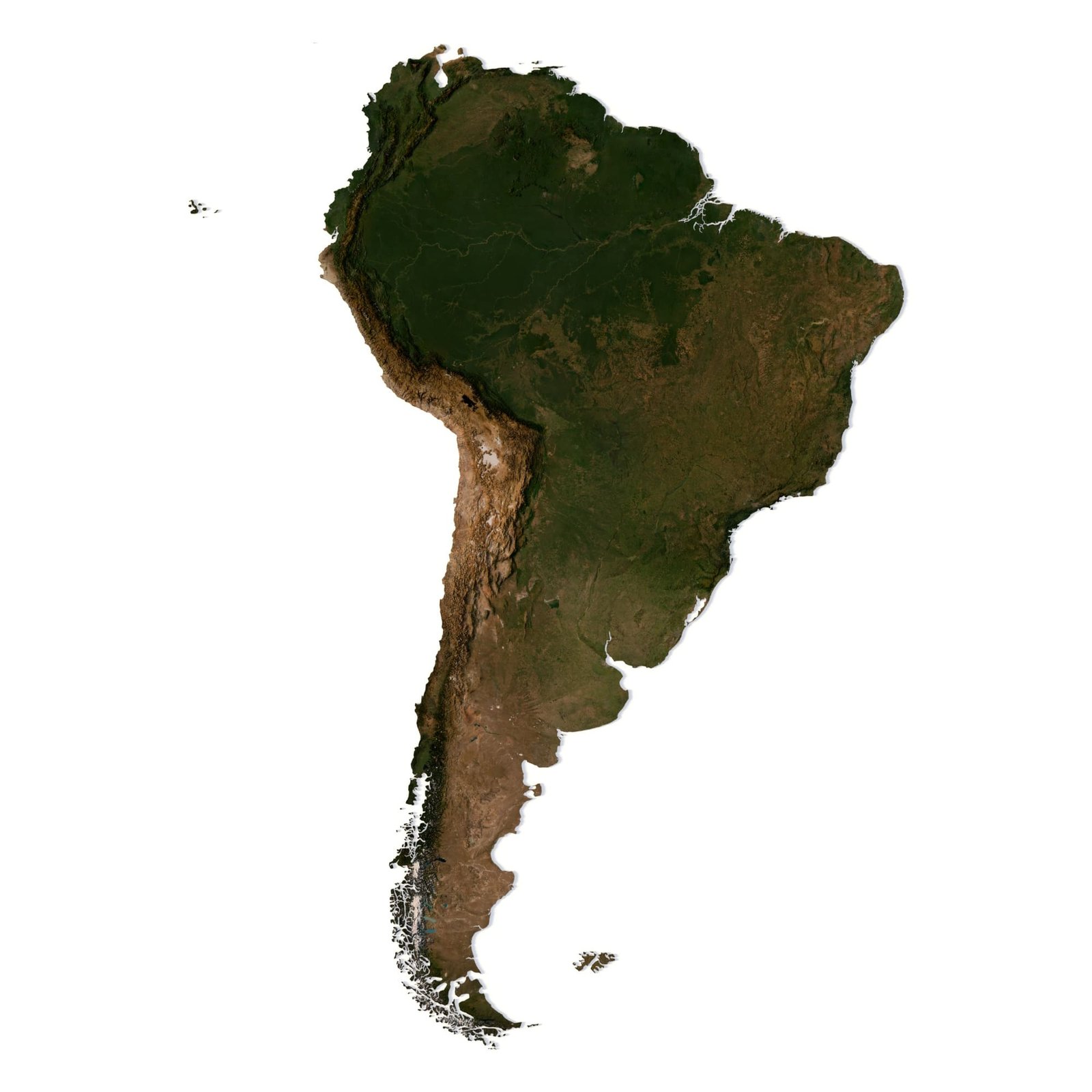
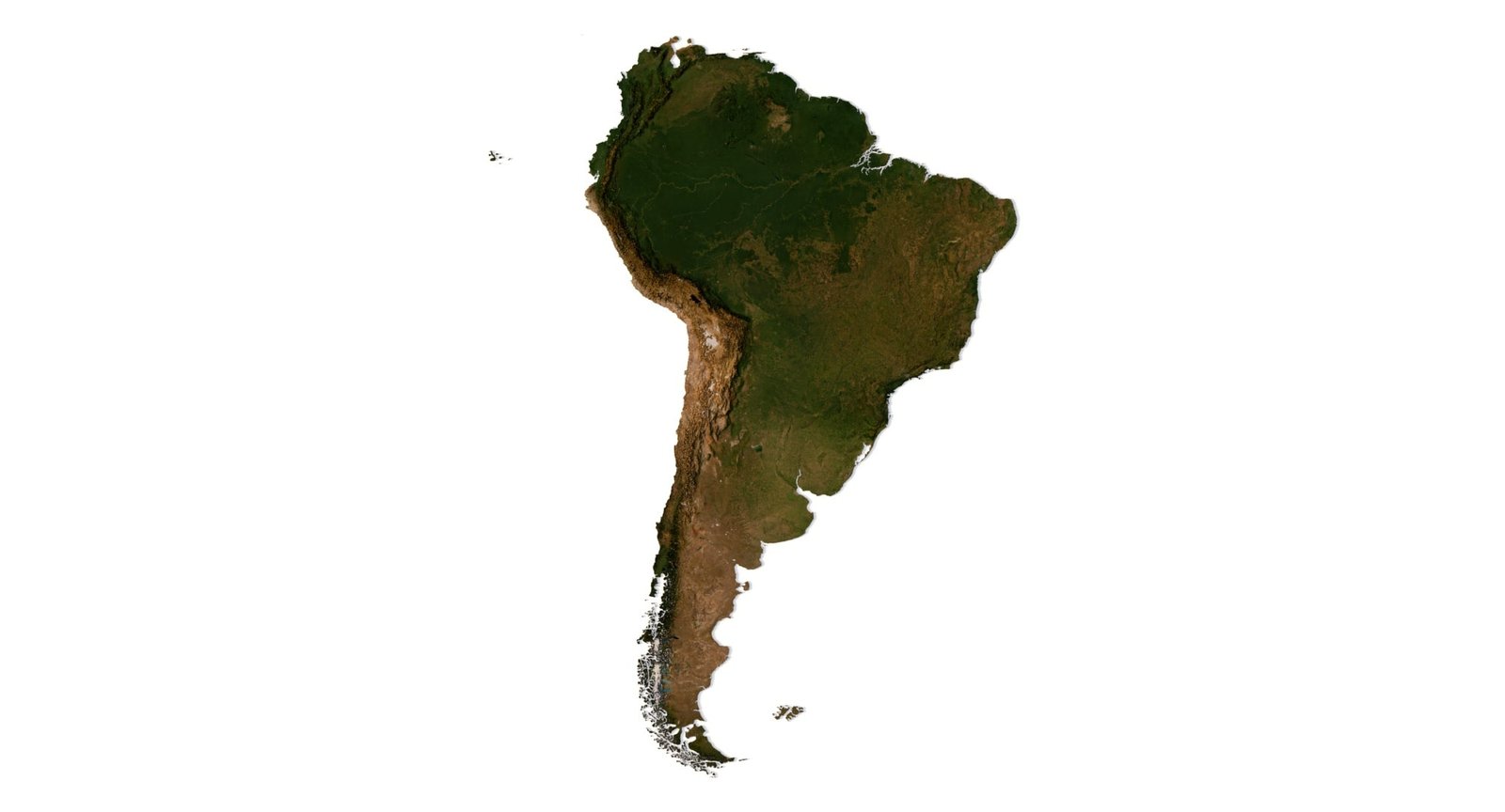
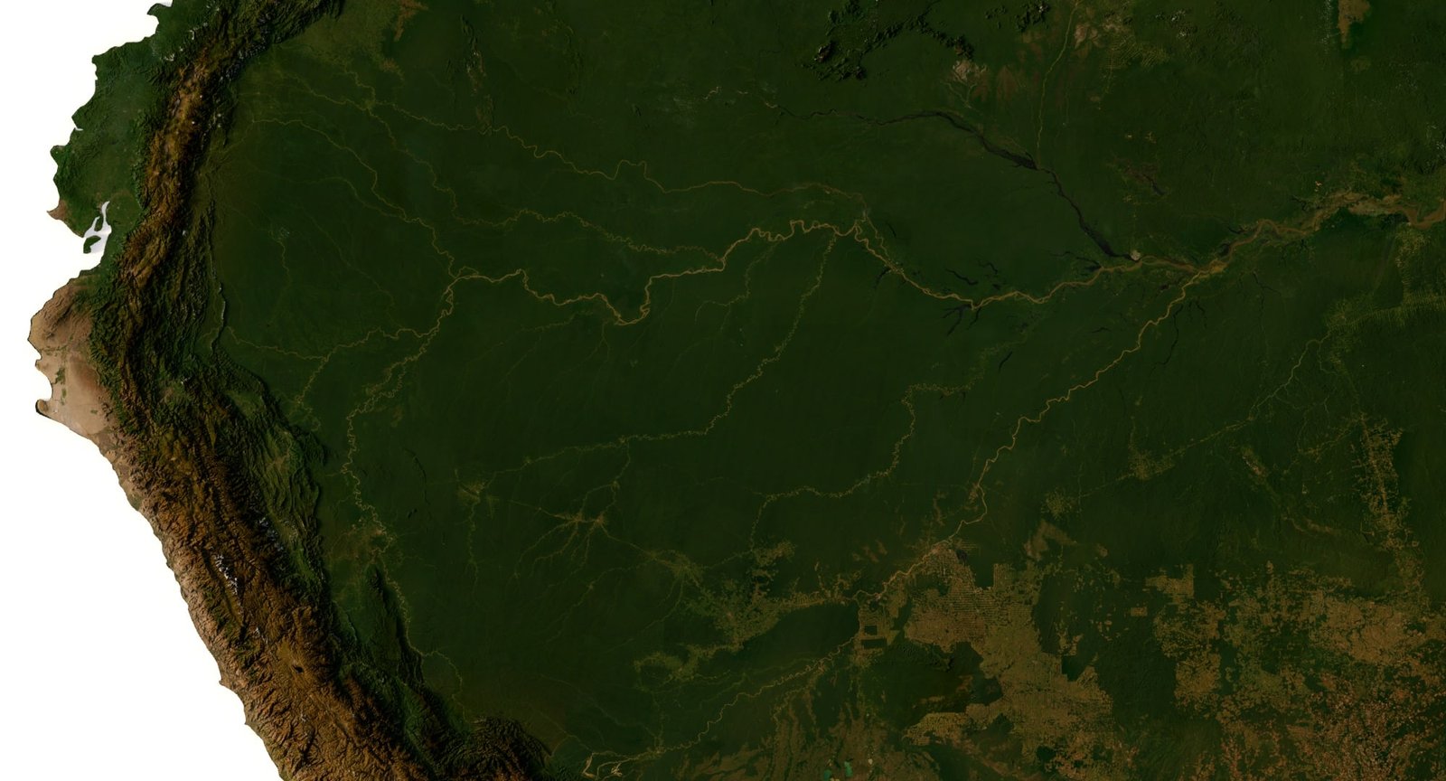
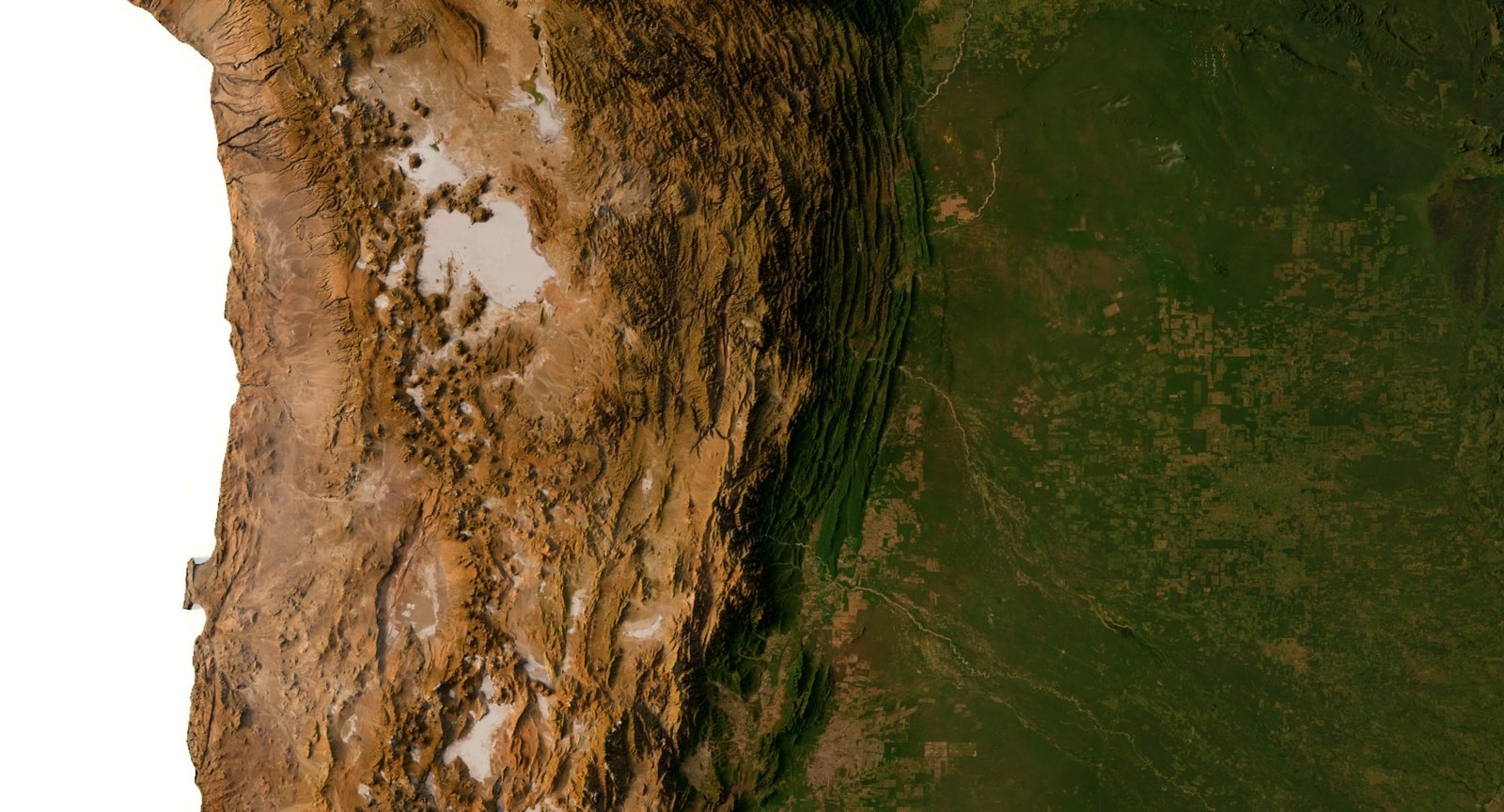
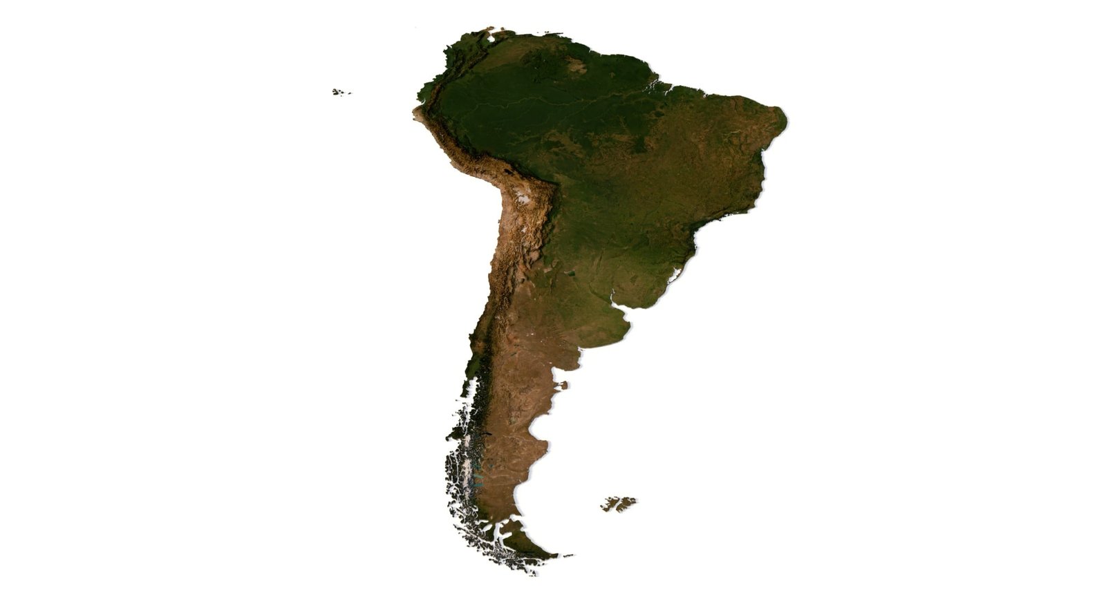
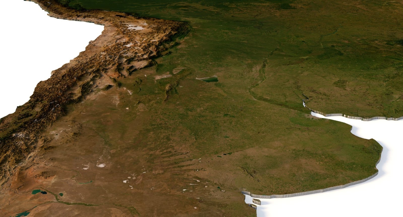
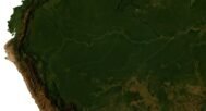
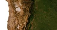
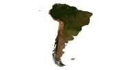
3D model of South America in OBJ and C4D formats is a professional solution for visualization, games, and multimedia. The model includes an optimized polygonal mesh and a high-resolution satellite texture. With frontal UV mapping, the texture is applied precisely to the terrain surface, making this 3D map of the continent look realistic and accurate.
Key Features
optimized polygonal mesh balanced for performance and quality,
support for OBJ and C4D formats,
detailed high-resolution satellite texture,
full compatibility with Unity and Unreal Engine.
Applications
Animation and video production — flyovers of the continent, infographics, historical and climate visualizations;
Gaming industry — a ready-to-use 3D South America map for Unity and Unreal Engine, suitable for simulators and interactive projects;
Education and science — visual teaching materials for geography and ecology;
Web design and multimedia — interactive maps and 3D presentations;
AR and VR projects — immersive experiences and virtual tours;
Marketing and tourism — promo videos, posters, and maps for tourism companies;
Architecture and design — concept presentations with real-world landscapes.
Advantages
versatile usage for animation, gaming, science, and marketing,
high-quality detailed textures,
ready for rendering and large-format printing.
This 3D geographic model of South America is a universal tool for professionals in visualization, design, game development, and education.
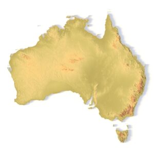
South America DEM
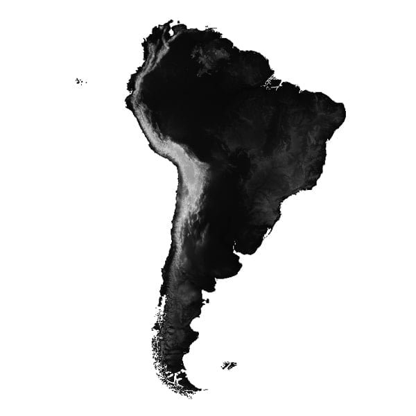
The elevation map is used to get information about low and high parts of the South America relief.
South America Shapefile
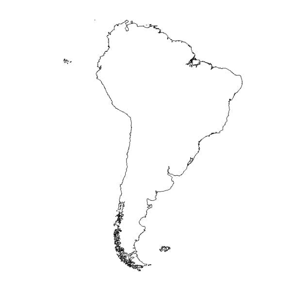
The shapefile is used to cut the 3D models along the contour.
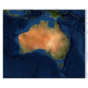
Satellite image of South America
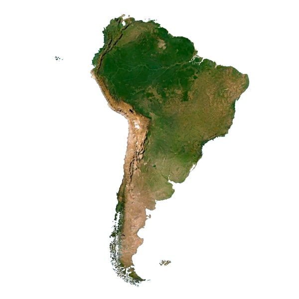
The satellite texture is high resolution in TIF format.
Have a Question?
Do you need Shapefile of South America and regions?
Do you need more resolution satellite South America images?
Do you need a 3D models in BLEND, OBJ or FBX format?
