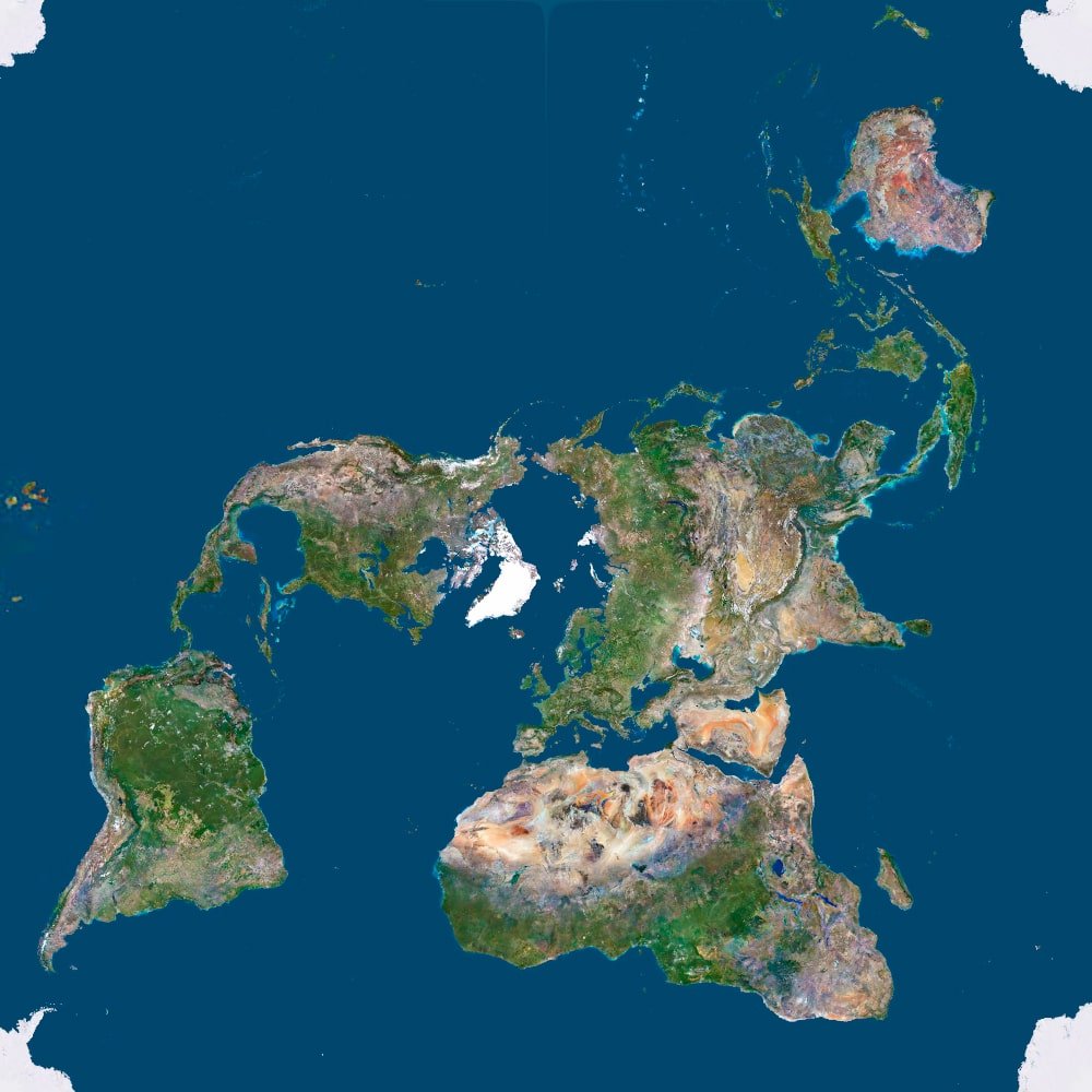
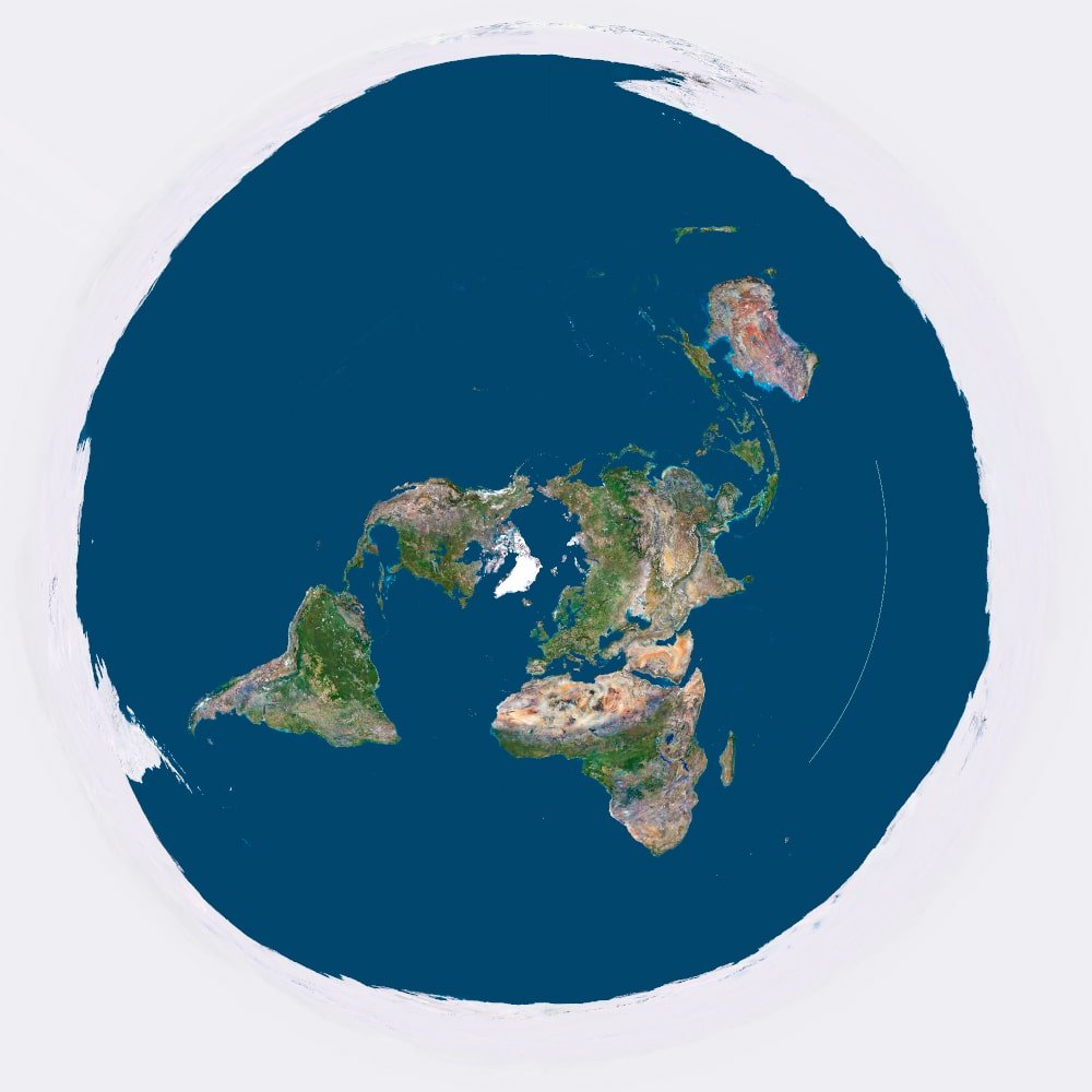
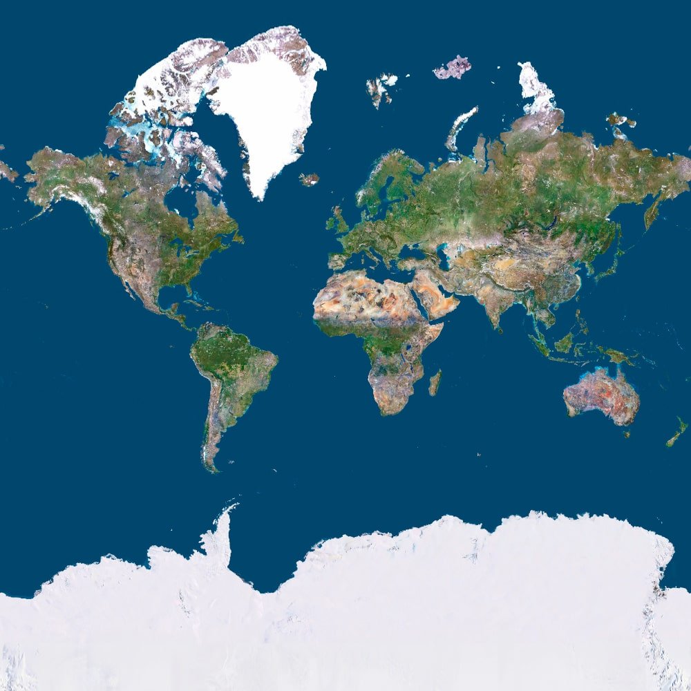
3D Models and Maps in Various Map Projections
This page showcases a variety of map projections, each offering a unique way to represent our planet. From the classical Mercator to the futuristic AuthaGraph, each projection has its own characteristics, distortions, and use cases.
Map projections are used in education, science, design, wall maps, and 3D models. Some are ideal for global representation, while others are tailored for specific purposes such as preserving area, minimizing distortion, or enhancing visual appeal.
🛠 Custom Orders
You can order:
3D models of the Earth in any map projection
Topographic relief maps for 3D printing, CNC carving, or visualization
Satellite imagery, adapted to your chosen projection
- Origami template
Available formats: STL, OBJ, PNG, GeoTIFF, PSD
All models are optimized for FDM/SLA printing, laser cutting, and CNC milling.
Get in touch and we’ll create a custom map in your preferred projection, scale, and style.
🌐 Projection Examples
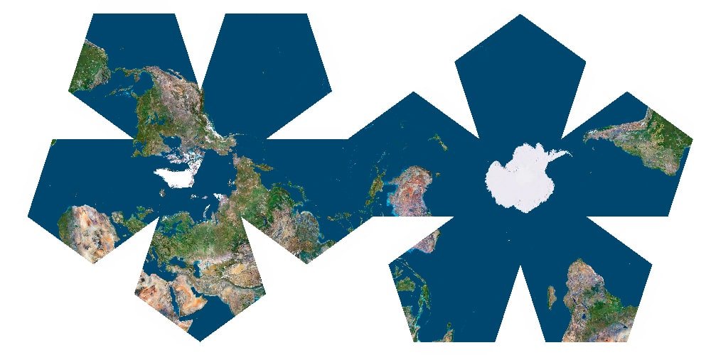
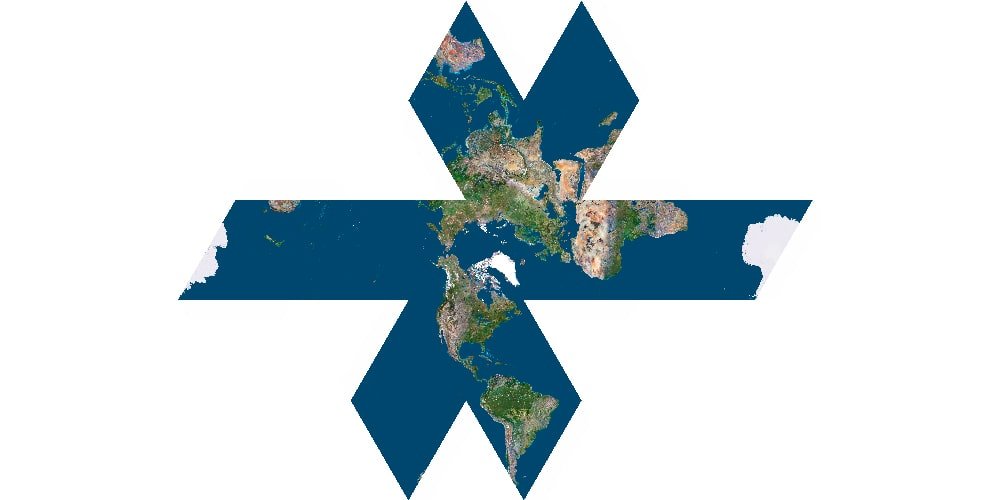
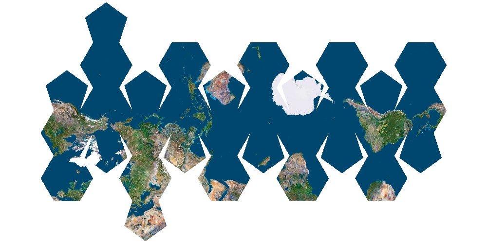
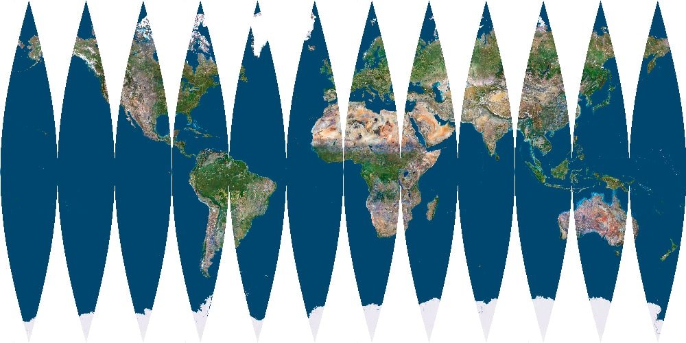
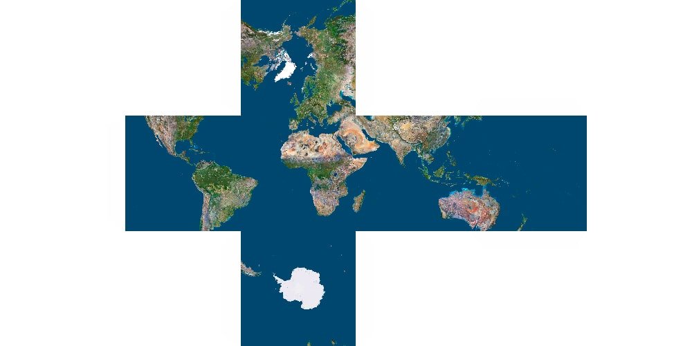
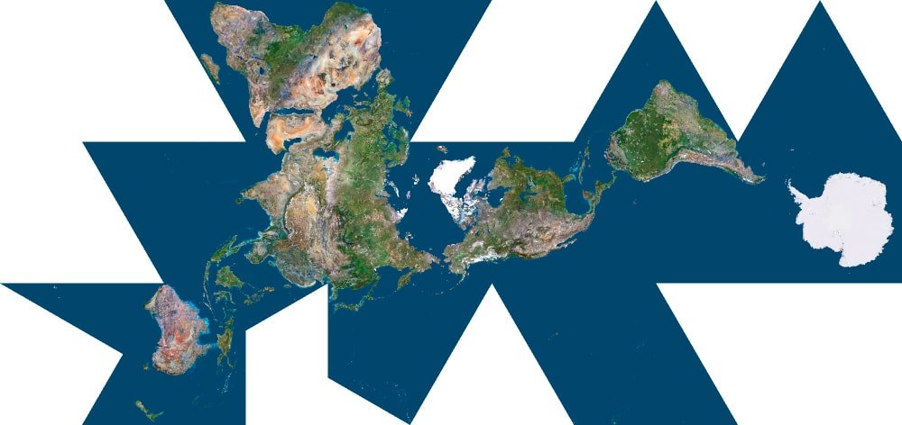
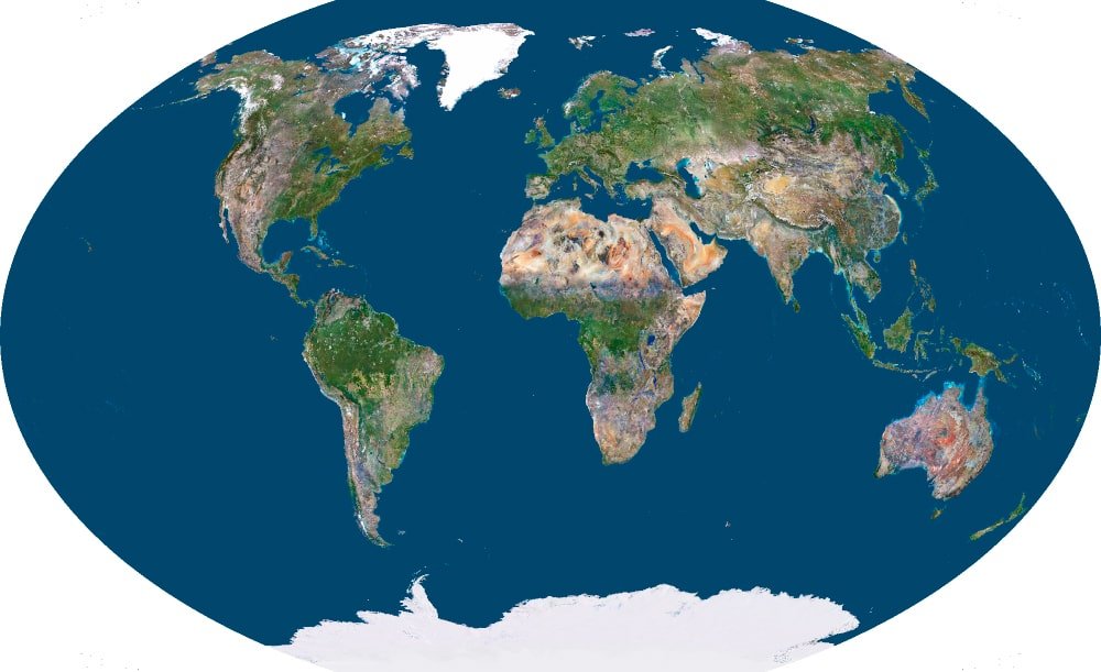
| Projection | Description |
|---|
| Mercator | A classic navigational projection that severely distorts the poles |
| Mollweide | Equal-area projection, popular for global and climate data |
| Winkel Tripel | Balances area, direction, and shape – used by National Geographic |
| Dymaxion (Fuller) | The globe unfolded into 20 triangles – distortion-free and unique |
| Peirce Quincuncial | Geometric projection in a cross shape, centered on the pole |
| Triangular Projection | Experimental, great for geometric or stylized designs |
Hundreds of different projections are available…
