Solar System
 World
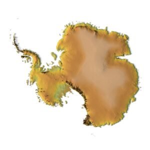
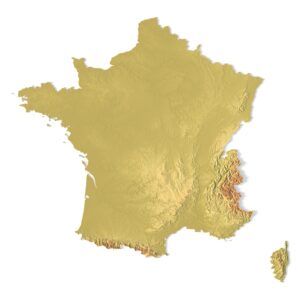
World Continents
 Peninsulas
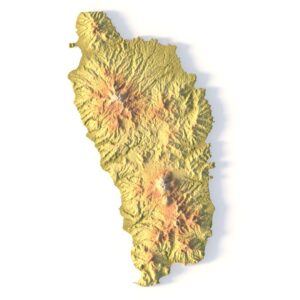
 Islands
 Countries
 States of America
 Canadian Provinces
 Parks & Canyons
 Fantasy
 Other
Other Planets
 Satellites


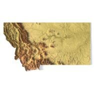
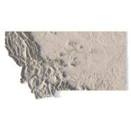
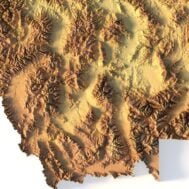
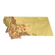
Create Detailed Montana Terrain Models with This High-Resolution 3D STL
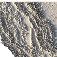
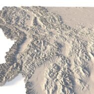
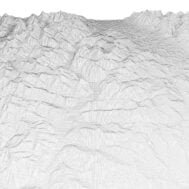
The Montana Topographic Map STL model provides a high-resolution representation of the state’s rugged topography and diverse geographic features. This 3D model is ideal for crafting physical relief maps from materials such as wood, metal, plastic, or concrete. Whether for landform visualization, educational projects, or professional GIS applications, this model delivers precise elevation data for accurate terrain modeling. Ideal for use with 3D printers, CNC machines, and laser engravers.