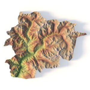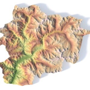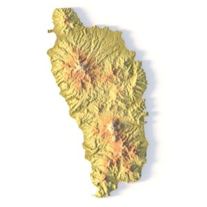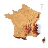
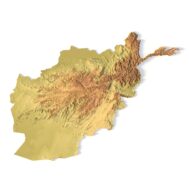
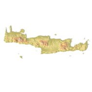
Relief map of France
High-resolution relief map of France in PSD format
![]()
- Linear size: 84.6 x 84.6 cm
- Pixel resolution: 100 MPx (10 000 px x 10 000 px)
- File size: ~700 MB
- Compression: No compression
- Color Depth: 16 Bit/channel
- Color model: CMYK
- ICC-profile: U.S. Web Coated (SWOP) v2
- Print resolution: 300 DPI
- Scaling factor: X – 0.0000001; Y – 0.0000001; Z – 0.0000030
- Projection: Mercator
Description
France is the largest country in Western Europe (followed by Spain) and is often considered the gateway to Europe. It’s the most popular tourist destination in the world, which includes the Eiffel Tower in Paris. It borders several European countries including Belgium, Germany, Luxembourg, Switzerland, Italy, and Spain. The United Kingdom is also accessible by France via the English Channel. France is also located in western Europe next to the Bay of Biscay, the English Channel, and the Mediterranean Sea.

Color design for the relief map of France
You can change the color scheme of the relief map yourself in Photoshop or any other graphics editor.
You can also add your own text or additional graphics.


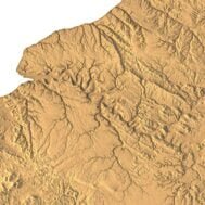
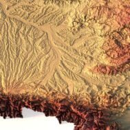
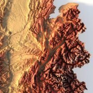
Relief map of France at 100% zoom