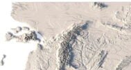

Middle Earth 3D Map 3D model
$28.00
Buy 3D model of Middle Earth relief in OBJ and STL formats.
![]()
![]()
3D model
- Format: OBJ (1.52 GB / 772 MB) and STL (251 MB)
- Polygons: 26 276 694/13 578 954
- Geometry: Polygonal Tris only
- Model size: 220 mm x 191 mm x 3.2 mm
- Base: Open/Closed
- UV layer: Yes (frontal)
Additionally
CDR (229 MB) – vector file Corel Draw – for laser engraving.
Textures
Format: TIF
File size: 125.7 MB
Resolution: 5000*5000*48b
Other models can be made on request.
Modifications, more detailed models and better textures on request.
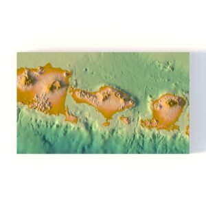
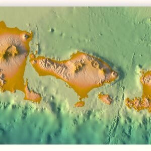
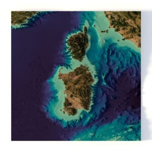
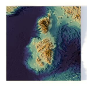
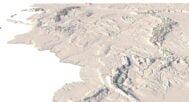
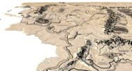
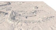
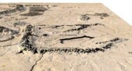
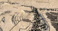
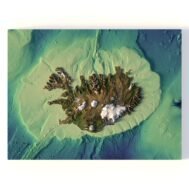
Middle Earth 3D Map is a highly detailed 3D model of Tolkien’s legendary world, available in STL and OBJ formats. The model is carefully crafted with an optimized polygonal mesh and high-resolution textures, making it ideal for both professional visualization and 3D printing.
Key Features of Middle Earth 3D Map
High Detail — realistic terrain, precise UV mapping, and accurate texture projection.
Universal Formats — STL for 3D printing, OBJ for working in 3D software.
Optimized Mesh — balanced polygons for animation, gaming, VR, and AR projects.
Applications of the 3D Middle Earth Map
Animation & Film — create cinematic flyovers, visualize stories and epic battles.
Gaming & Simulation — integrate into Unity or Unreal Engine for immersive fantasy maps.
Education — geography, history, and fantasy world-building presentations.
AR/VR — virtual tours, interactive experiences, and digital exhibitions.
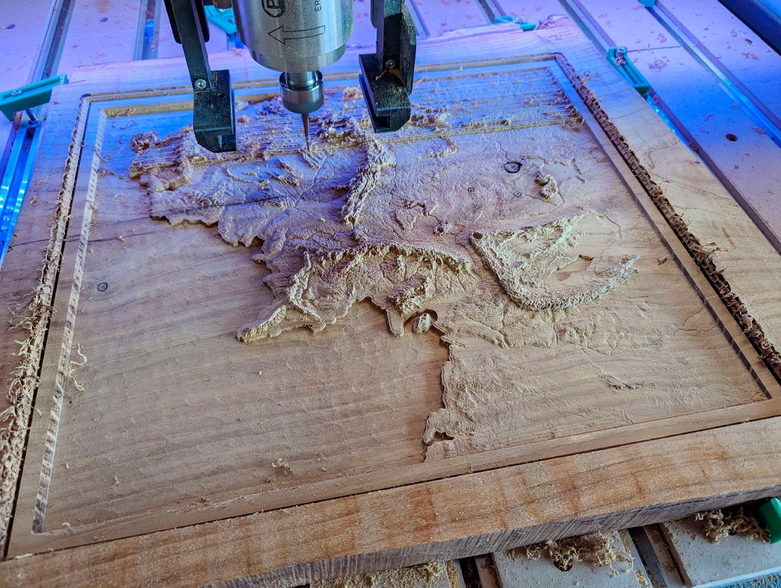
3D Printing & CNC Carving — souvenirs, wall reliefs, decor, and collectible gifts.
Why Choose This Model?
Print-ready without extra preparation.
Scalable for projects of any size.
Compatible with major 3D software and printers.
Versatile use — from professional projects to hobby and collecting.
If you’re looking for a Middle Earth 3D Map STL model, this product is the perfect choice for creative, educational, and commercial purposes.
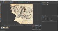
In addition to the 3D terrain model of Middle Earth, I can attach a map of heights, shape-files and various satellite textures.
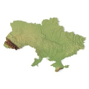
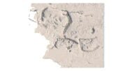
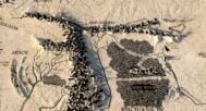
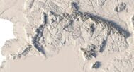
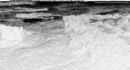
Middle Earth DEM

The elevation map is used to get information about low and high parts of the Middle Earth relief.
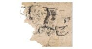
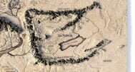
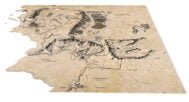
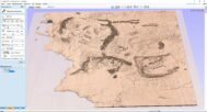
SVG file of the Middle Earth

The vector file is used to cut along the contour and laser engraving.
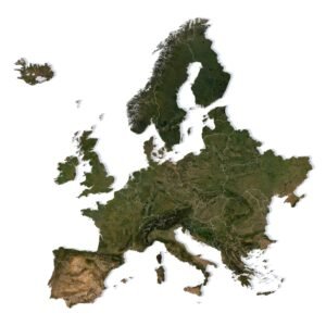
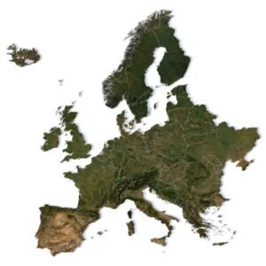
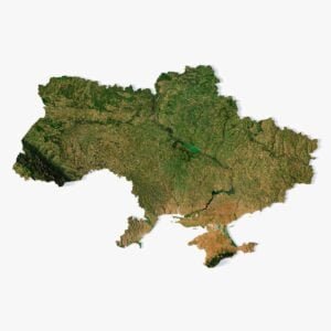
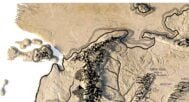
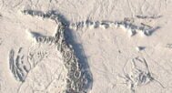
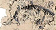
Image of the Middle Earth

The raster texture is high resolution in TIF format.
Have a Question?
Do you need more resolution satellite images?
Do you need a 3D model in BLEND, OBJ or FBX format?
Related products