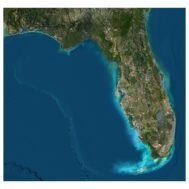
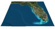
Florida State Terrain Map 3D Model
$40.00 Original price was: $40.00.$28.00Current price is: $28.00.
![]()
3D Model
- Format: OBJ
- File size (unzipped): 1.12 GB
- Polygons: 9 988 536
- Vertices: 4 998 740
- Geometry: Polygonal Tris only
- Model size: 2543.75 mm x 2418.75 mm x 5.5059 mm
- Projection: Mercator
- Base: Open
Textures
- Normal Map TIF 8192*7789*48b – Use this map to reveal fine details of the relief.
- Satellite Maps TIF 18991*18053*24b.
We accept VISA, Mastercard, ApplePay, GooglePay and other payment methods
You can also purchase this product using MasterCard/Visa on
RenderHub → and 3Dexport →.
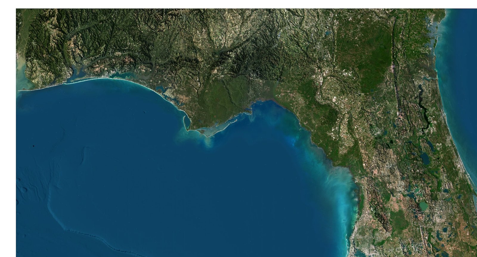
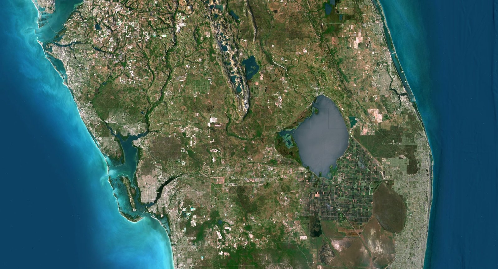
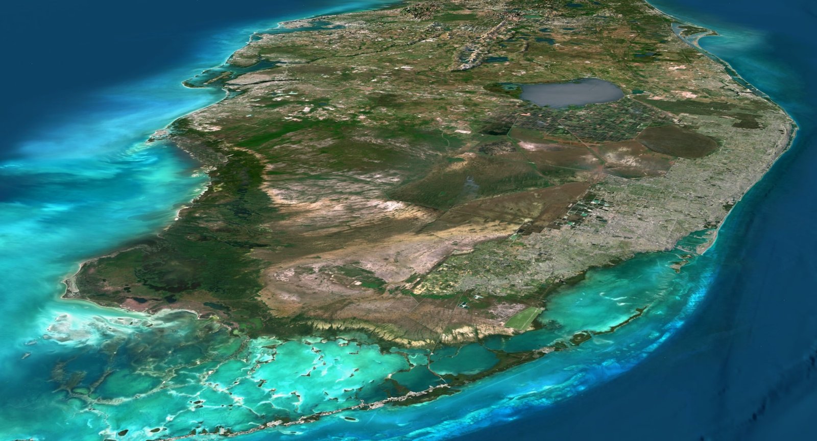
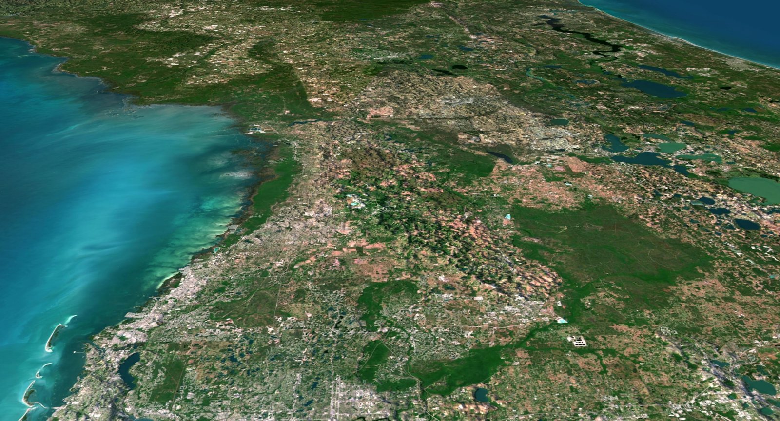
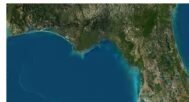
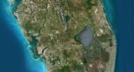
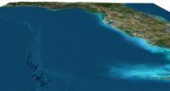
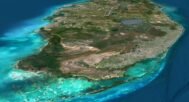
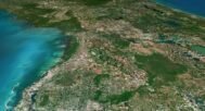
Discover the beauty of Florida’s landscape with this downloadable 3D Terrain Map. Available in a high-resolution OBJ format, this digital model captures the intricate details of Florida’s diverse terrain, from its coastal edges to elevated regions.
Features:
- Downloadable Format: Provided as a high-quality OBJ file, easily importable into various 3D software for further use or modification.
- High-Resolution Detailing: The model features exceptional detail, making it suitable for educational projects, 3D printing, and virtual environments.
- Realistic Topography: Accurately represents Florida’s geographical features with true-to-life elevations and contours.
- Versatile Use: Ideal for use in educational presentations, architectural projects, game design, or as a basis for customized models.
- Instant Access: Download the model immediately after purchase, no waiting required.
Why You Should Buy: This Florida State Terrain Map 3D Model is a perfect digital asset for anyone interested in the geography of Florida. Whether you are a student, educator, designer, or hobbyist, this model offers endless possibilities for creativity and learning. With instant access to a highly detailed OBJ file, you can easily integrate this model into your projects or 3D printing plans.
Florida Satellite image

The satellite texture is high resolution in TIF format.
Florida Normal Map

Use this map to reveal fine details of the relief.
Have a Question?
Do you need Shapefile?
Do you need more resolution satellite images?
Do you need a 3D model in BLEND, C4D or FBX format?


