
Complete USA Topographic Map STL – 50 States 3D Terrain Model for 3D Printing & CNC
$50.00
![]()
3D models (50 meshes):
- File size: 7.39 GB (Full archive containing all 50 states)
- Model size (each state): Scaled proportionally for puzzle-like assembly
- Projection: Lambert conformal conic
- Scaling factor: X — 1; Y — 1; Z — 3
- Geometry: Polygonal Tris only
- Base: Closed
Complete USA Topographic Map STL – 50 States High-Resolution 3D Terrain Model
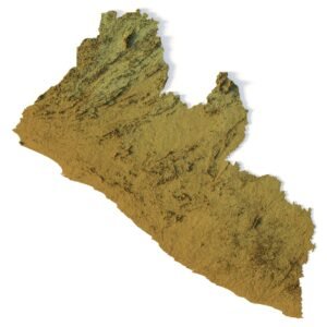
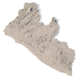
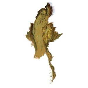
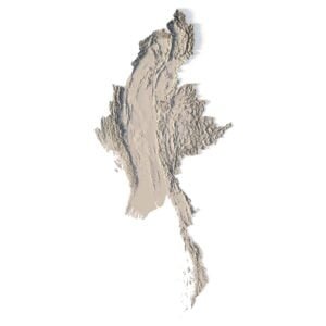
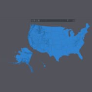
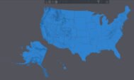
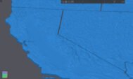
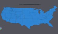
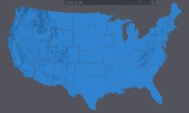
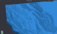
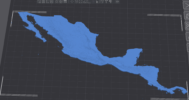
USA Topographic Map STL is a complete high-resolution 3D terrain model of all 50 United States, designed for 3D printing, CNC carving, and laser engraving. This digital elevation model accurately represents the mountains, valleys, plateaus, river systems, and coastal regions of the entire country.
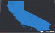
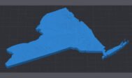
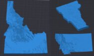
The product includes 50 individual 3D state models, each provided as a separate mesh. Every state can be printed or carved independently, allowing you to assemble a full USA topographic puzzle or work with specific regions. This modular structure makes the model ideal for education, cartography, design projects, and large-scale physical installations.
Key Features of the USA 3D Topographic Model
- Complete USA topographic map STL (all 50 states)
- 50 separate state meshes for modular assembly
- Accurate digital elevation model (DEM)
- Optimized for 3D printing (FDM / SLA)
- Ready for CNC carving and milling
- Suitable for laser engraving
- Lambert conformal conic projection
- Triangle-only polygonal geometry
- Closed base for reliable manufacturing
Applications of the 50 States USA Terrain Model
This 3D map of the United States is suitable for a wide range of professional and creative applications:
- Large-scale raised relief maps
- Educational geography and geology models
- CNC-carved wooden or metal USA maps
- Museum exhibits and exhibition installations
- Interior design and decorative wall maps
- Cartographic visualization and presentations
Whether you are creating a 3D printed USA map, a CNC terrain model of the United States, or a laser-engraved relief, this STL collection provides consistent scale, clean geometry, and high visual clarity.
Have a Question?
Do you need Shapefile?
Do you need more resolution satellite images?
Do you need a 3D model in BLEND, OBJ or FBX format?