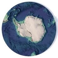
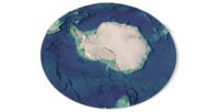
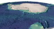
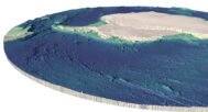
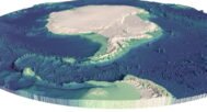
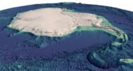
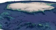
Antarctica Elevation Map 3D Model
$28.00
Antarctica Elevation and Topographic Map: A Detailed 3D Model
![]()
![]()
3D model
- Format: C4D / STL (export to OBJ/FBX on request)
- File size: 1.1 GB / 547 MB
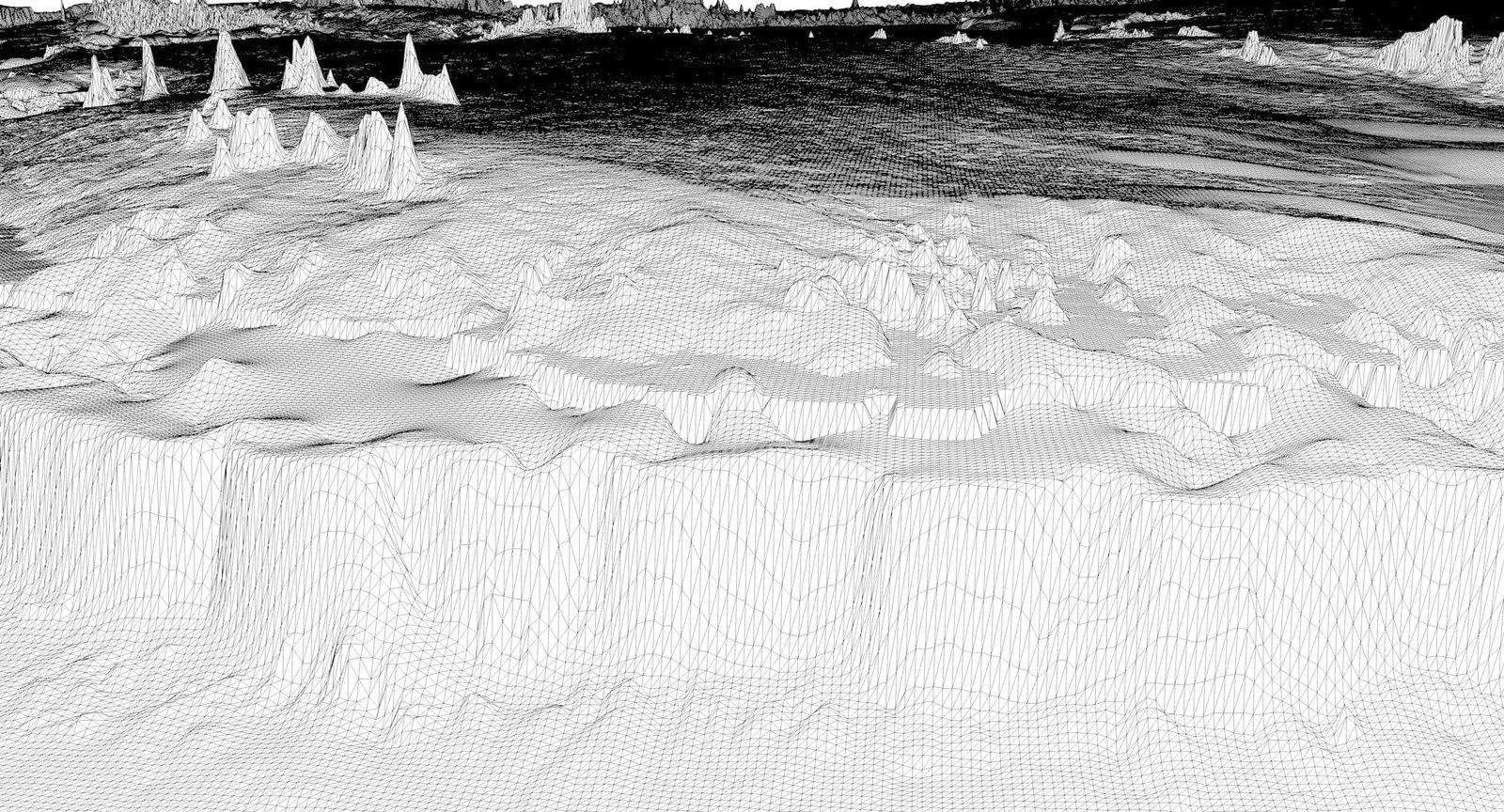
- Polygons: 19 776 644
- Vertices: 9 895 415
- Geometry: Polygonal Tris only
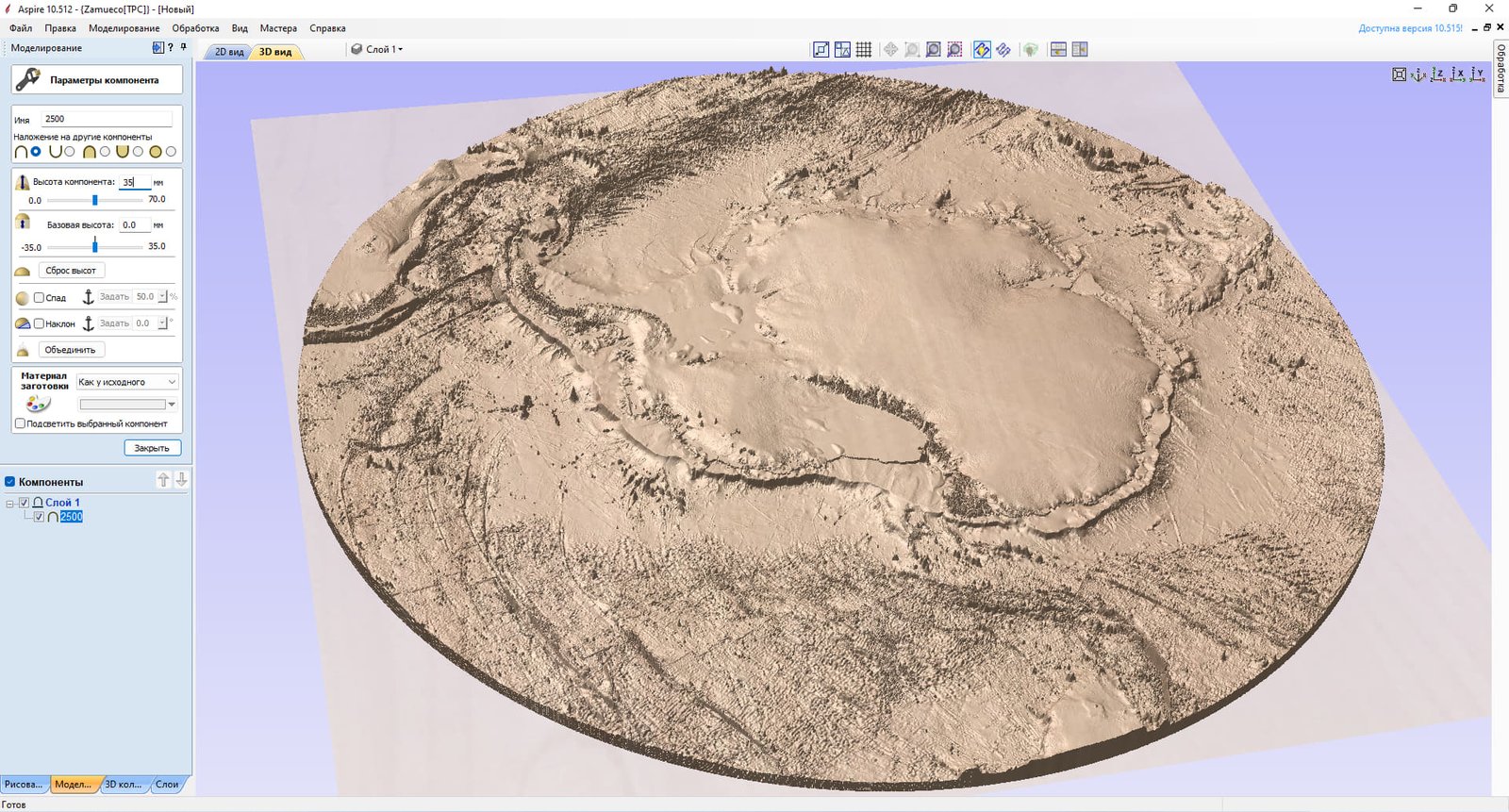
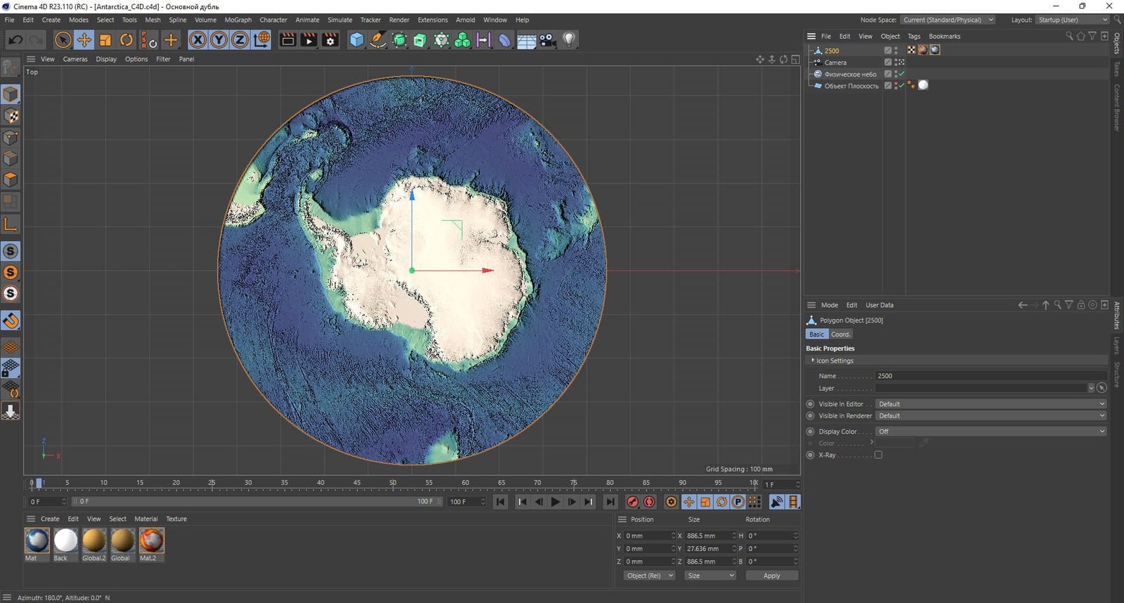
- Model size: 886.5 mm x 886.5 mm x 27.636 mm
- Projection: Polar Stereographic
- Base: Open / Closed
Textures
- Format: TIF
- File size: 927 MB
- Resolution: 18000*18000*24b
- UV layer: yes
We accept VISA, Mastercard, ApplePay, GooglePay and other payment methods
You can also purchase this product using MasterCard/Visa on
RenderHub → and 3Dexport →.
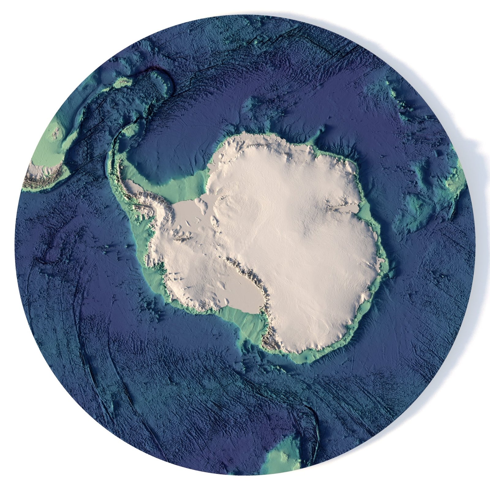
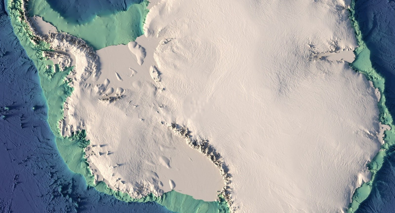
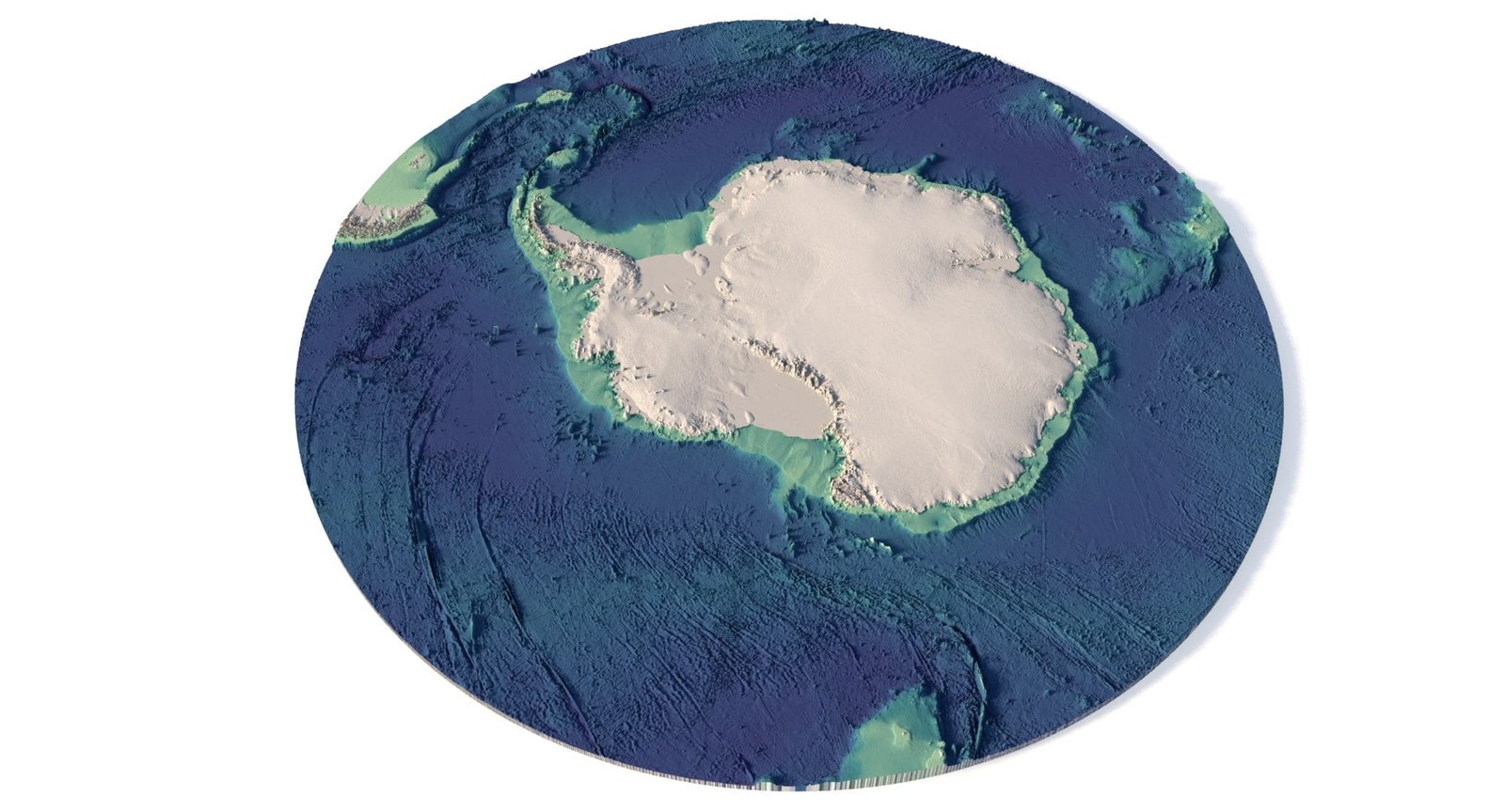
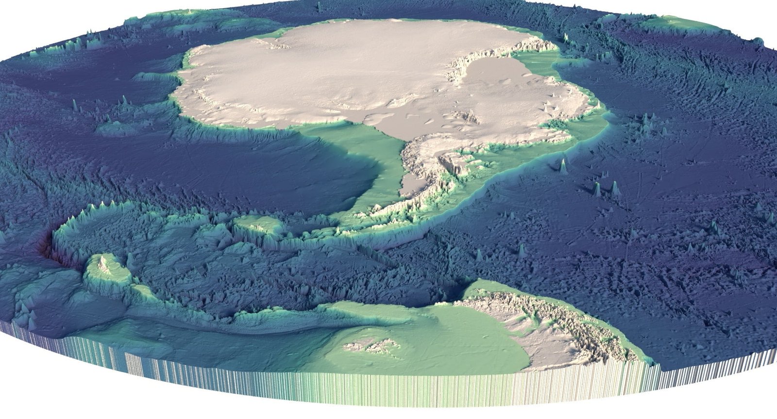
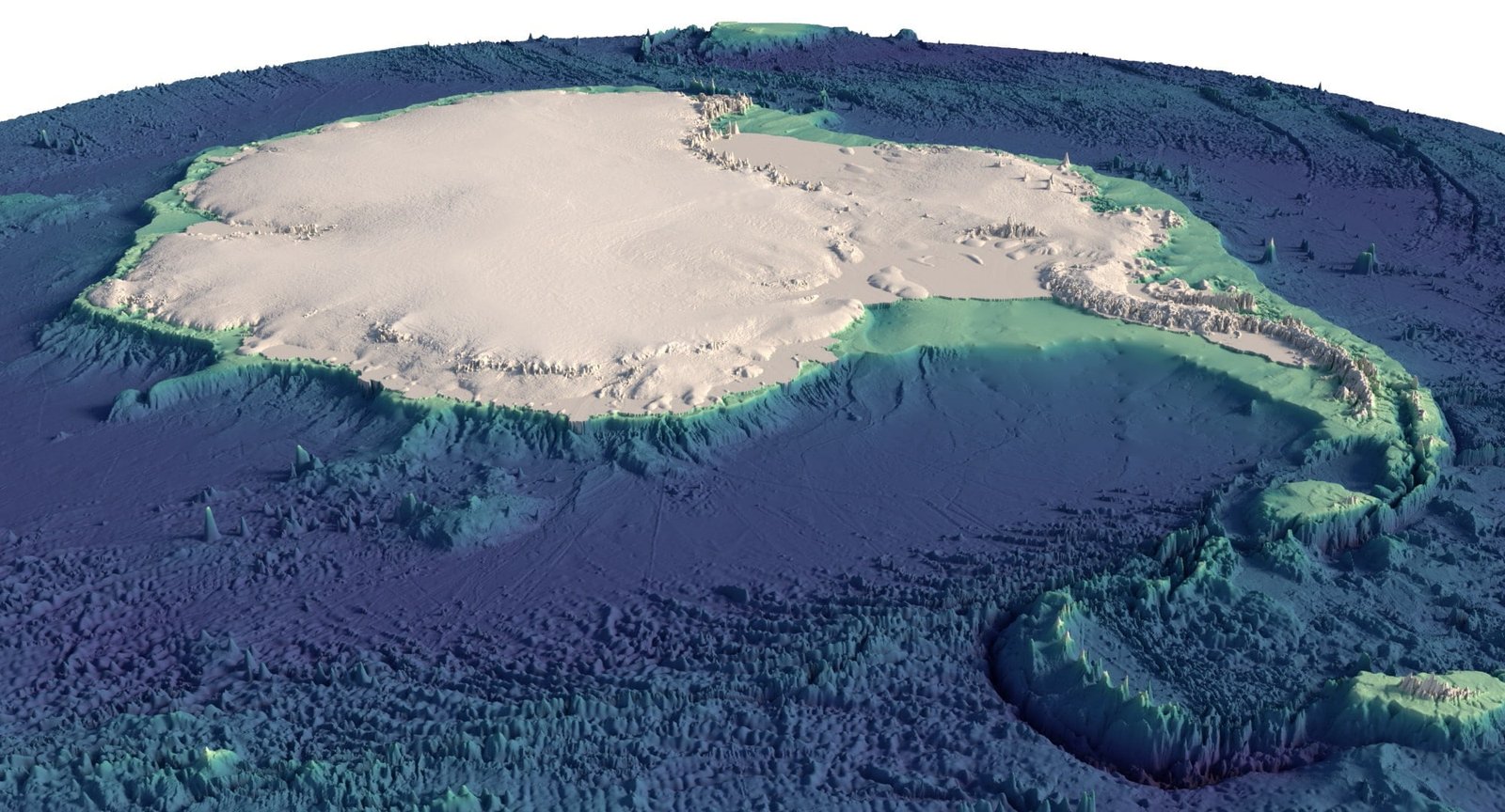
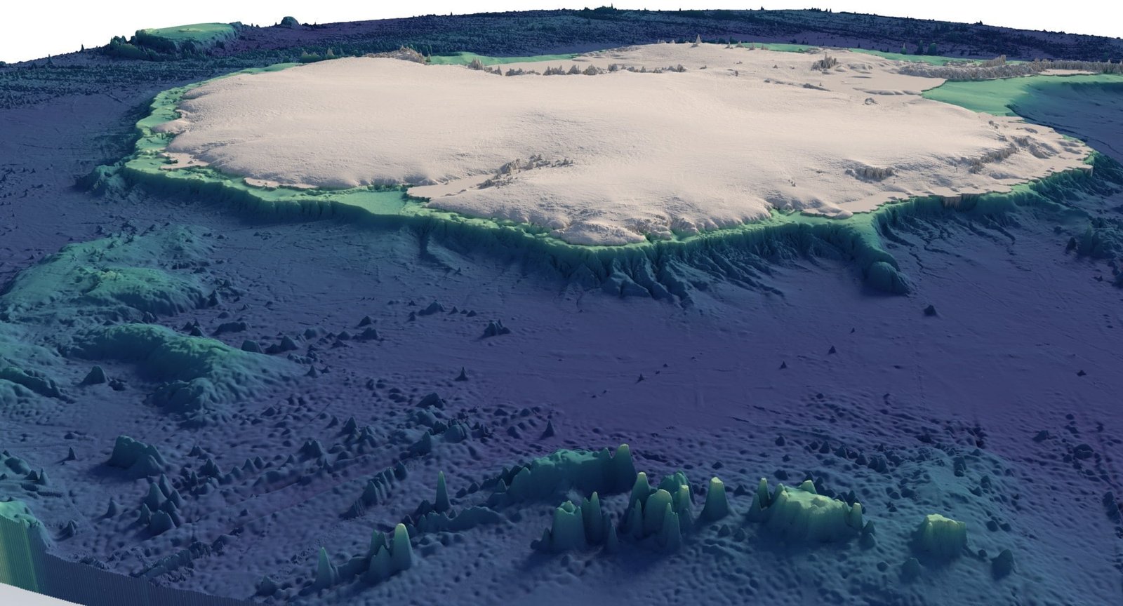
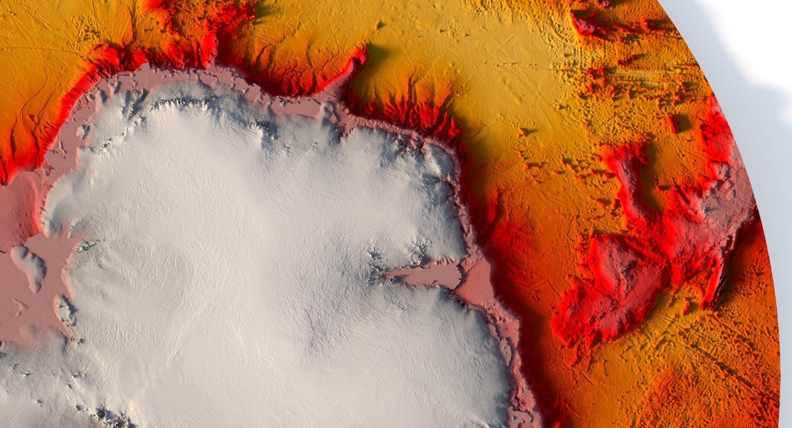
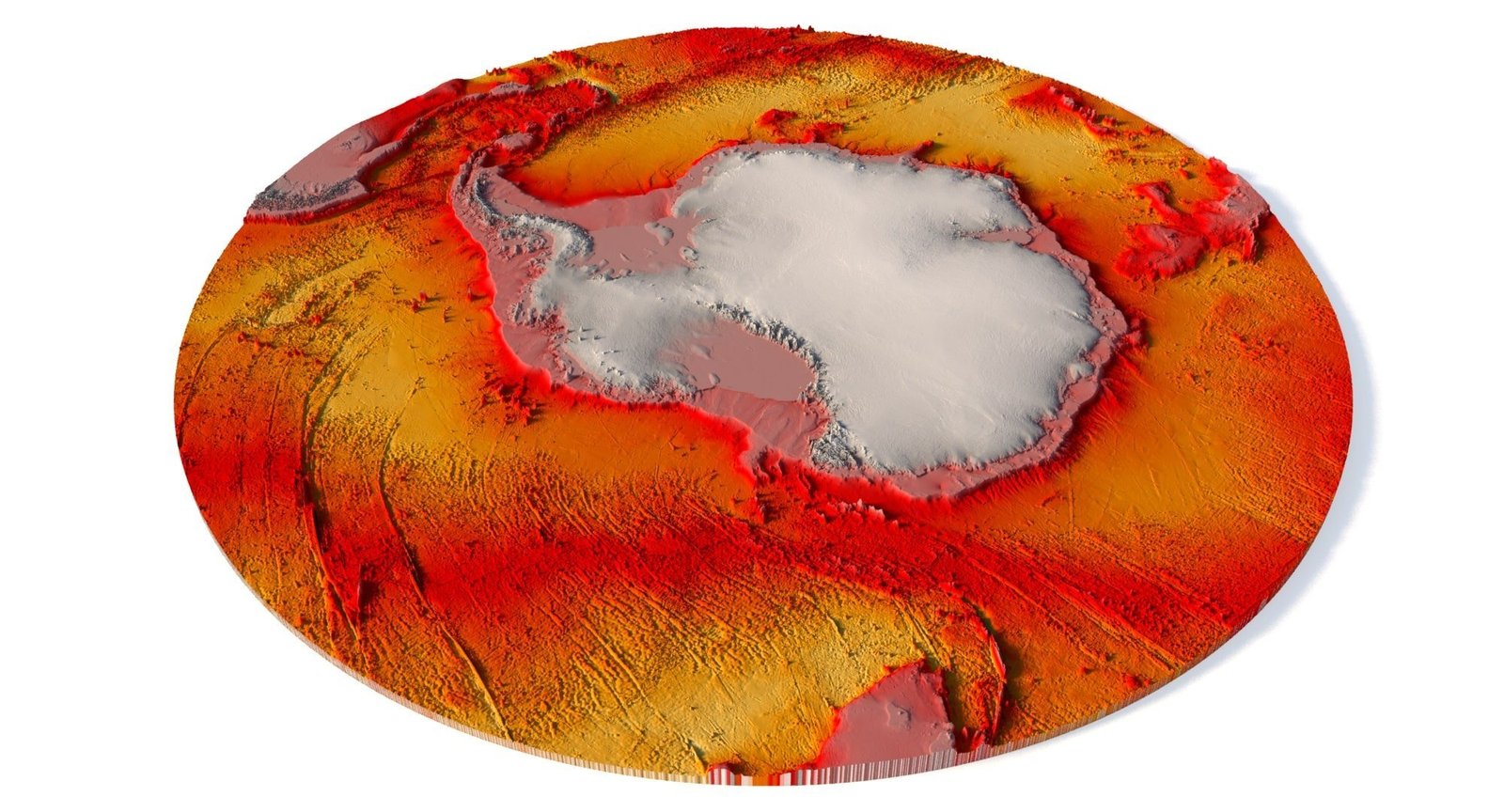
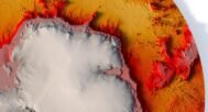
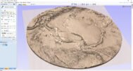
Explore the Antarctic continent in stunning detail with our 3D Antarctica elevation map. This model provides a highly accurate representation of the continent’s topography, including detailed elevation data and landform contours.
Why Choose Our Antarctica Elevation Map?
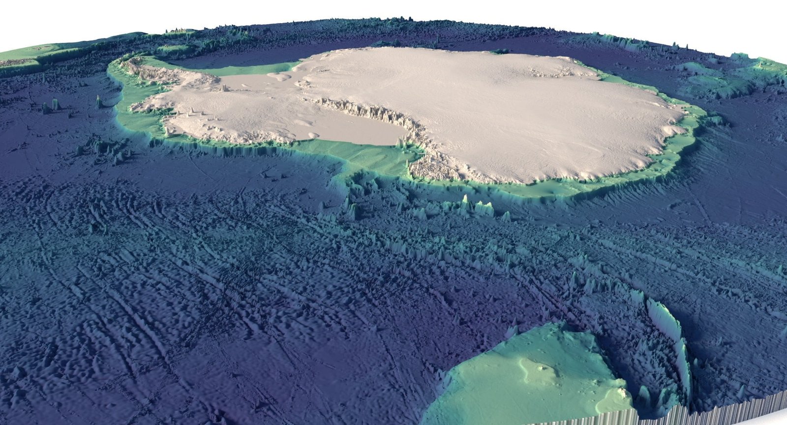
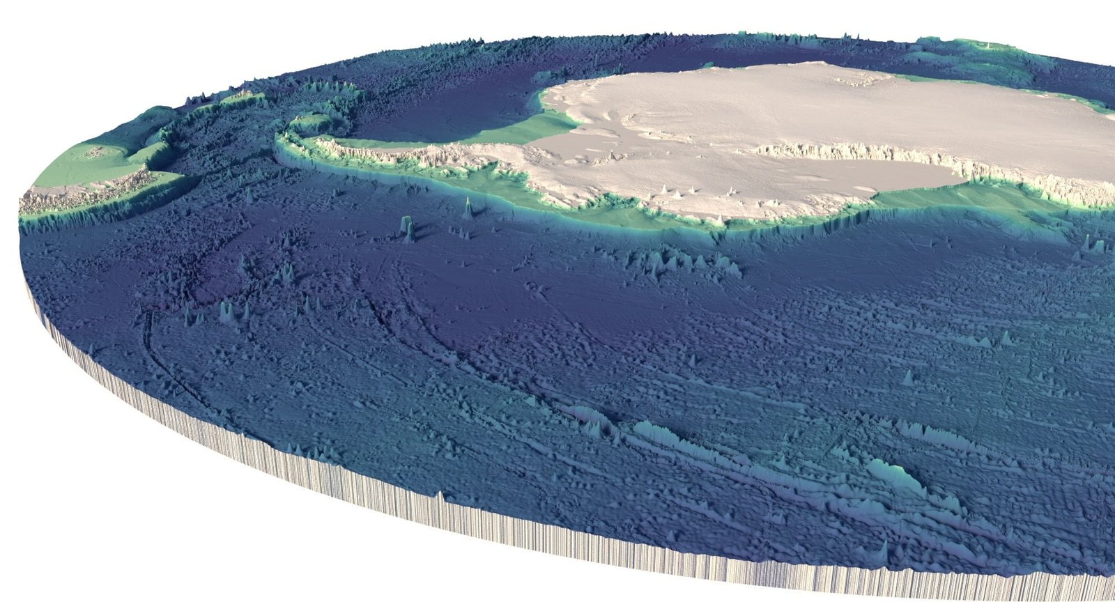
Our 3D model offers an in-depth look at Antarctica’s terrain, including its unique glaciers, ice sheets, and other major landforms. Whether you’re an academic, geographer, or hobbyist, this topographic map is the perfect tool for understanding the average elevation of Antarctica.
Key Features of the 3D Antarctica Topographic Map
- Elevation Data: Accurate elevation levels across the entire continent.
- Contour Lines: Detailed contours showcasing the terrain and altitude variations.
- Landforms: Key landforms such as glaciers and ice formations are meticulously represented.
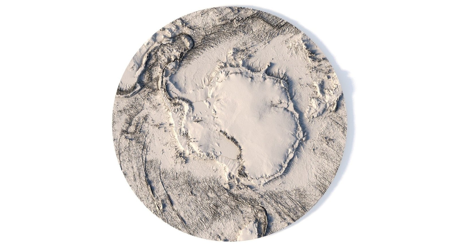
- Relief Map Visualization: A high-quality relief map that highlights height variations.
- 3D Terrain Visualization: Offers a true sense of Antarctica’s height map and surface conditions.
Versatile Use Cases for Antarctic Terrain Exploration
Our Antarctica topography map is suitable for educational, research, and creative projects. Whether you’re studying the terrain of Antarctica or creating a visual display, this 3D model provides the accuracy and depth you need.
Ideal for Scientists and Enthusiasts Alike
Get a closer look at the elevation changes and terrain features that define the most remote continent on Earth. This elevation map offers an exceptional way to visualize and study the landscape of Antarctica.
Download and Explore Antarctica’s Elevation in Detail
Order now and download your Antarctica elevation map today. With easy integration into various platforms, this model brings the icy continent’s topography right to your fingertips.
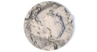
In addition to the 3D terrain model of South Pole, I can attach a map of heights and various satellite textures.
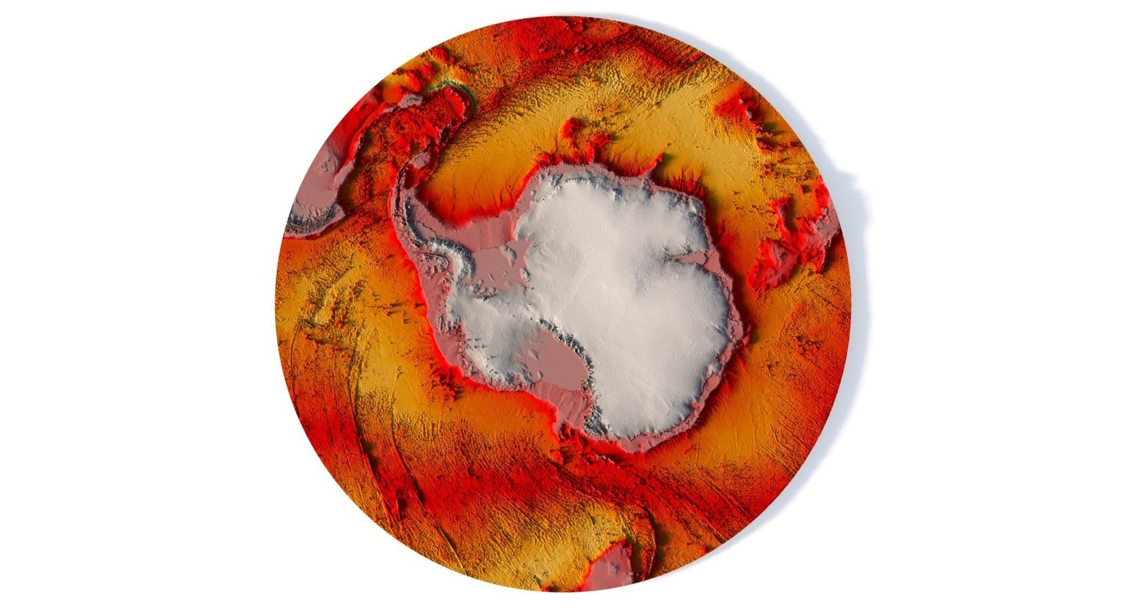
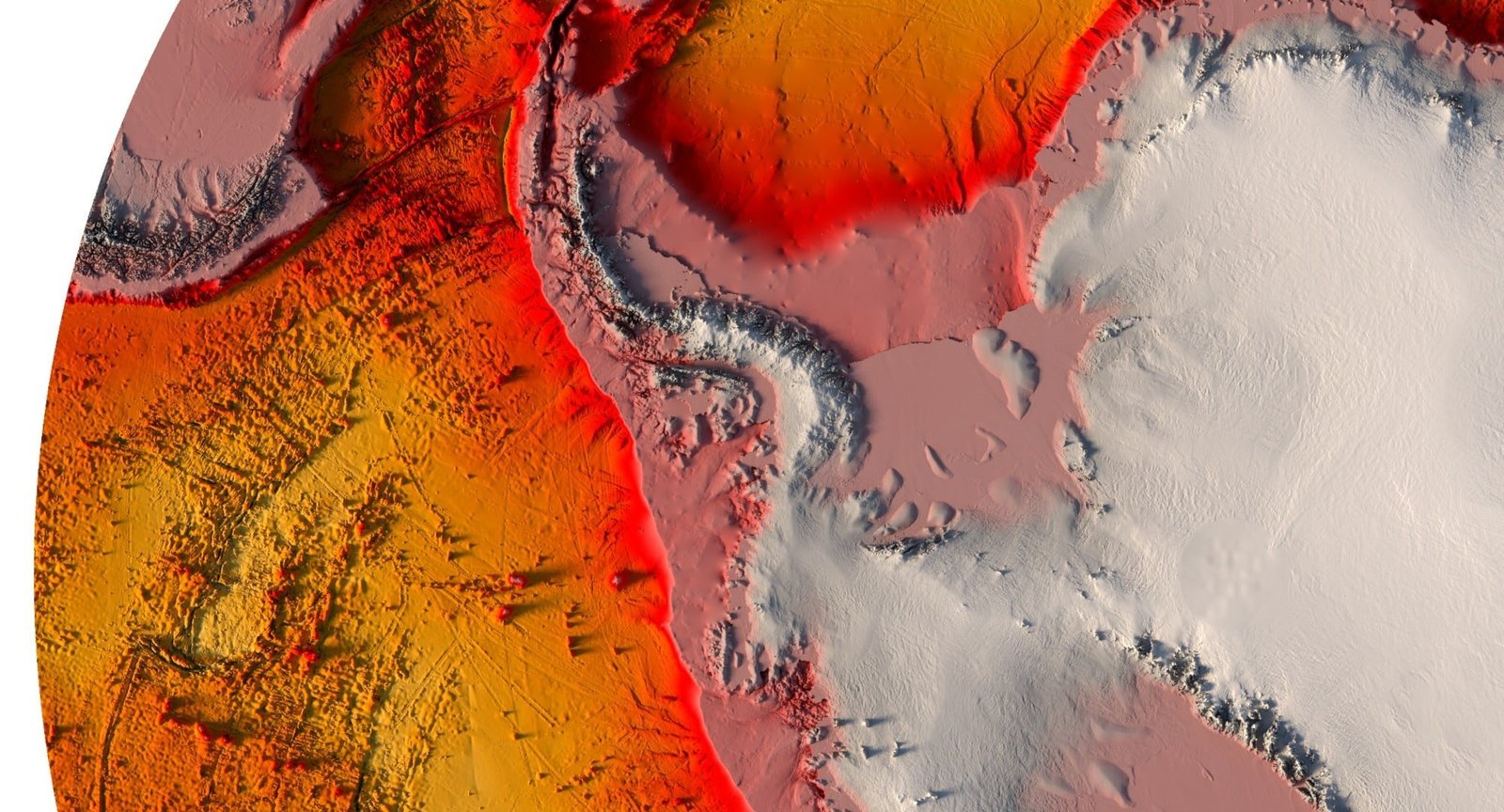
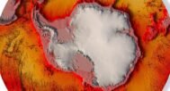
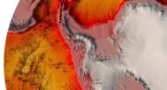
South Pole DEM
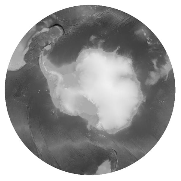
The elevation map is used to get information about low and high parts of the South Pole relief.
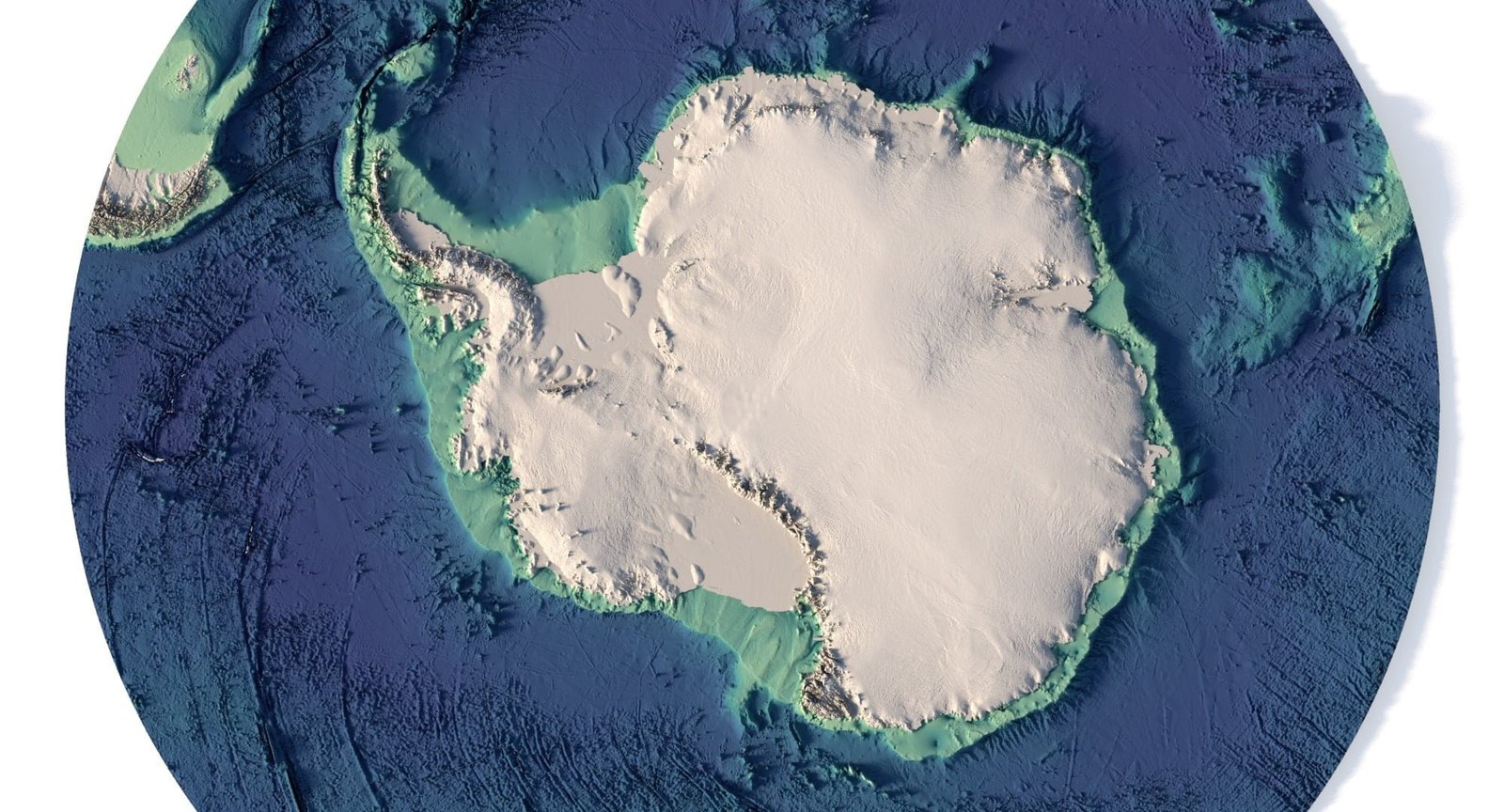
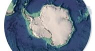
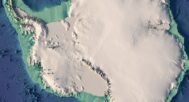
Satellite image of South Pole
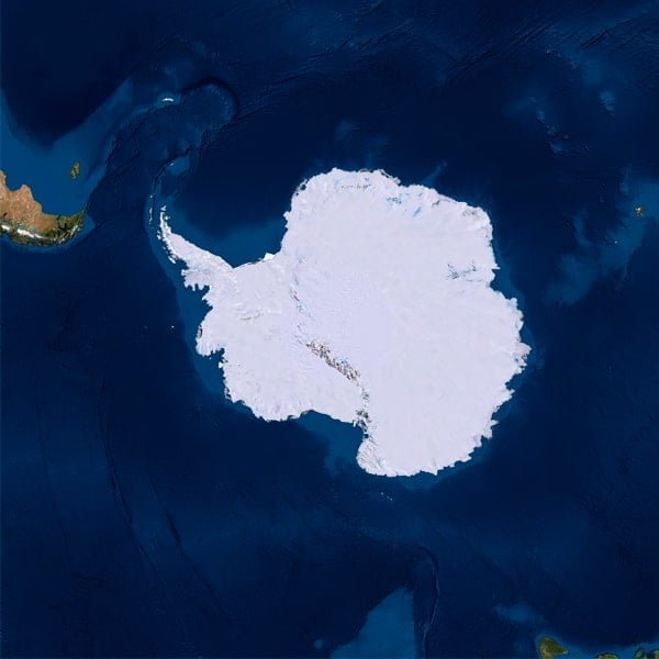
The satellite texture is high resolution in TIF format.
Have a Question?
Do you need Shapefile of South Pole and regions?
Do you need more resolution satellite Antarctica images?
Do you need a 3D models of Antarctica in BLEND, OBJ or FBX format?
