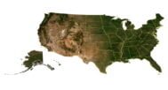

50 United States of America 3D Model
Original price was: $200.00.$150.00Current price is: $150.00.
![]()
3D model (50 meshes):
- Format: C4D (export to OBJ/FBX on request)
- File size (unzipped): 0.99 GB
- Polygons (total quantity): 17 665 002
- Vertices (total quantity): 8 906 298
- Geometry: Polygonal Tris only
- Projection: Lambert Conformal Conic
- Base: Open
Textures:
- Format: TIF
- Files size (unzipped): all 50 states – 2.92 GB
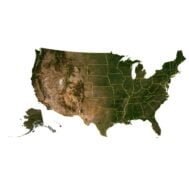
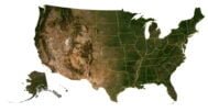
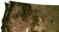
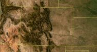
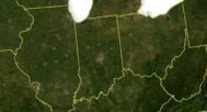
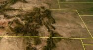
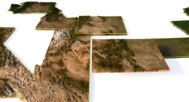
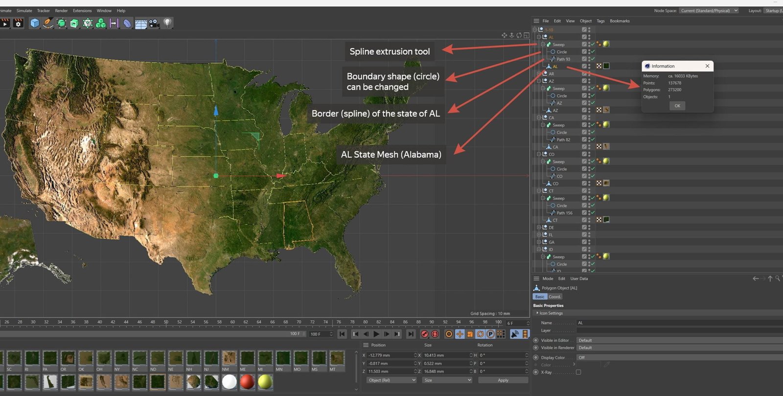
All 50 US states as separate objects. Each state has its own grid, UV mapping (frontal), satellite texture.
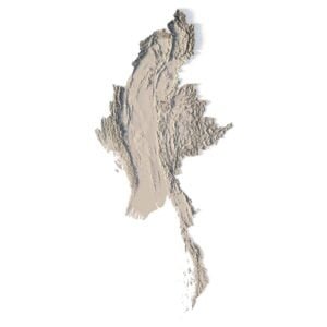
Each state can be hidden, terrain or base elevation can be changed.
State boundaries can be changed: hide, change shape and color.
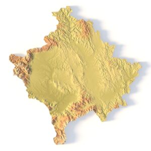
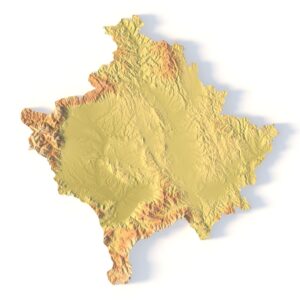
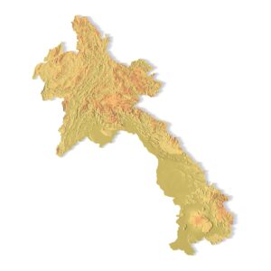
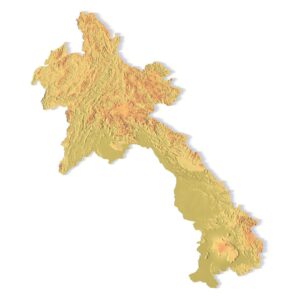
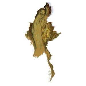
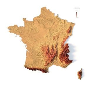
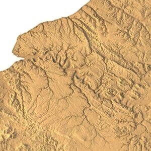
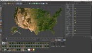
Introducing our comprehensive collection of 3D meshes meticulously crafted to represent all 50 states of the United States of America. Each state within this collection comes with its own set of features, including a grid, UV mapping (frontal projection), and satellite texture, providing an immersive and detailed representation.
With our versatile model, you have the ability to manipulate each state individually. States can be hidden or showcased, and you can adjust the terrain or base elevation to fit your specific needs. Moreover, the borders of each state are customizable, allowing you to hide, reshape, or change their color to align with your project’s requirements.
Whether you’re working on data visualization, geographic applications, educational initiatives, or any other creative project, this collection offers unparalleled flexibility and realism. Dive into the intricacies of American geography and history with ease, as you utilize these 3D models to craft captivating and informative presentations and experiences.
Have a Question?
Do you need Shapefile?
Do you need more resolution satellite images?
Do you need a 3D model in BLEND, OBJ or FBX format?