Skip to navigation
Skip to main content
info@shustrik-maps.com
Free conversion to
OBJ/FBX/STL/C4D/STEP
Services
About
FAQ
Site Map
How to buy?
info@shustrik-maps.com
A-Z
3D MODELS
OBJ/FBX/C4D
Solar System
World
Continents
Peninsulas
Islands
Countries
States of America
Canadian Provinces
Parks & Canyons
Fantasy
Other
3D PRINT/CNC MODELS
STL
Planets
Satellites
Continents
Countries
Islands
States of America
Fantasy
Other
MAPS
TIF/PSD/SVG
Satellite Maps
Night Satellite Map
Heightmaps/Raster DEM
Relief Maps
3D Maps
Historical Maps
Outline Maps
Various Map Projections
SERVICES
FREE
Search
Search
0
items
/
$
0.00
Menu
Search
0
items
/
$
0.00
Home
MAPS
Satellite Maps
Countries
Showing 1–25 of 60 results
Show sidebar
Default sorting
Sort by popularity
Sort by latest
Sort by price: low to high
Sort by price: high to low
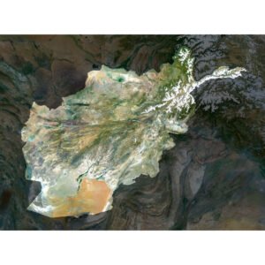
Afghanistan Satellite Map
$
15.00
Add to cart
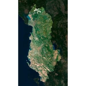
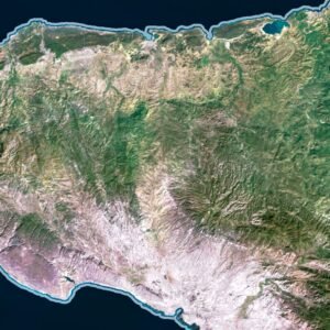
Albania Satellite Map
$
15.00
Add to cart
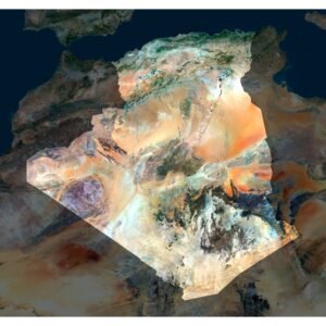
Algeria Satellite Map
$
15.00
Add to cart
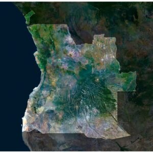
Angola Satellite Map
$
15.00
Add to cart
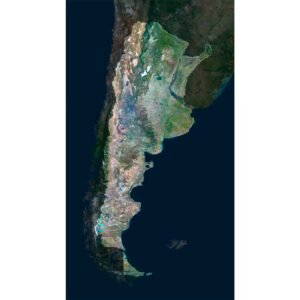
Argentina Satellite Map
$
15.00
Add to cart
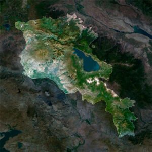
Armenia Satellite Map
$
15.00
Add to cart
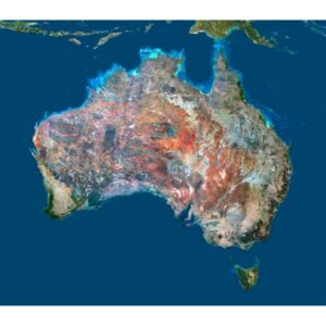
Australia Satellite Map
$
15.00
Add to cart
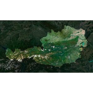
Austria Satellite Map
$
10.00
Add to cart
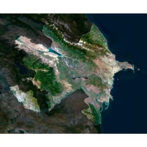
Azerbaijan Satellite Map
$
15.00
Add to cart
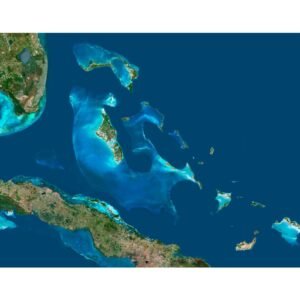
Bahamas Satellite Map
$
15.00
Add to cart
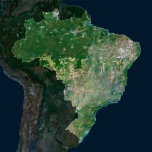
Brazil Satellite Map
$
15.00
Add to cart
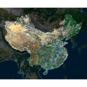
China Satellite Map
$
15.00
Add to cart
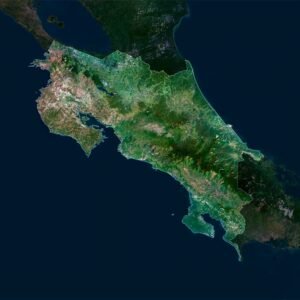
Costa Rica Satellite Map
$
15.00
Add to cart
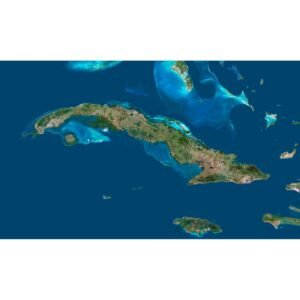
Cuba Satellite Map
$
15.00
Add to cart
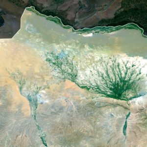
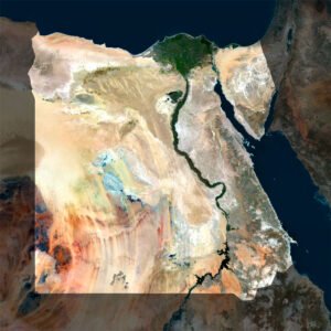
Egypt Satellite Map
$
15.00
Add to cart
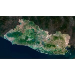
El Salvador Satellite Map
$
15.00
Add to cart
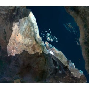
Eritrea Satellite Map
$
15.00
Add to cart
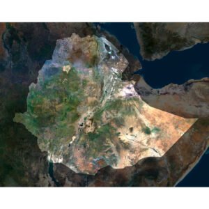
Ethiopia Satellite Map
$
15.00
Add to cart
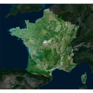
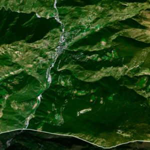
France Satellite Map
$
15.00
Add to cart
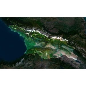
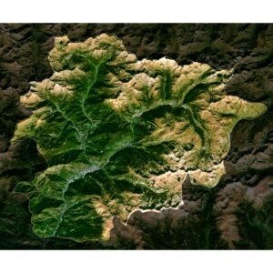
Georgia Satellite Map
$
15.00
Add to cart
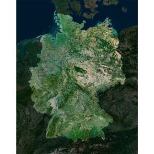
Germany Satellite Map
$
15.00
Add to cart
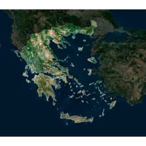
Greece Satellite Map
$
15.00
Add to cart
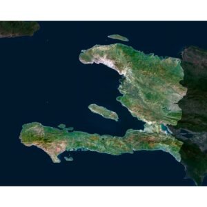
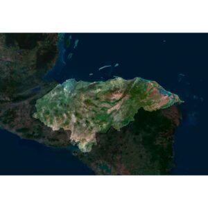
Haiti Satellite Map
$
15.00
Add to cart
High-Resolution Satellite Map of Andorra in TIFF Format
$
15.00
Add to cart
Honduras Satellite Map
$
15.00
Add to cart
Search
Start typing to see products you are looking for.
3D MODELS
Back
Solar System
World
Continents
Peninsulas
Islands
Countries
States of America
Canadian Provinces
Canyons
Buildings
Fantasy
ART
3D PRINT/CNC MODELS
Back
Planets
Satellites
Continents
Countries
Islands
States of America
Fantasy
Other
MAPS
Back
Satellite Maps
Night Satellite Map
Heightmaps/Raster DEM
Relief Maps
3D Maps
Historical Maps
Outline Maps
A-Z
FREE
About
FAQ
How to buy?
Site Map HTML
Explore Our Terrain Services
Shopping cart
Close
Your amount to pay has been updated
The previous conversion quote has expired. Here is your new quote:
Total
$
You Pay