-33%


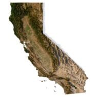
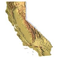
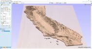
Relief map of the state of California 3D model
Original price was: $30.00.$20.00Current price is: $20.00.
![]()
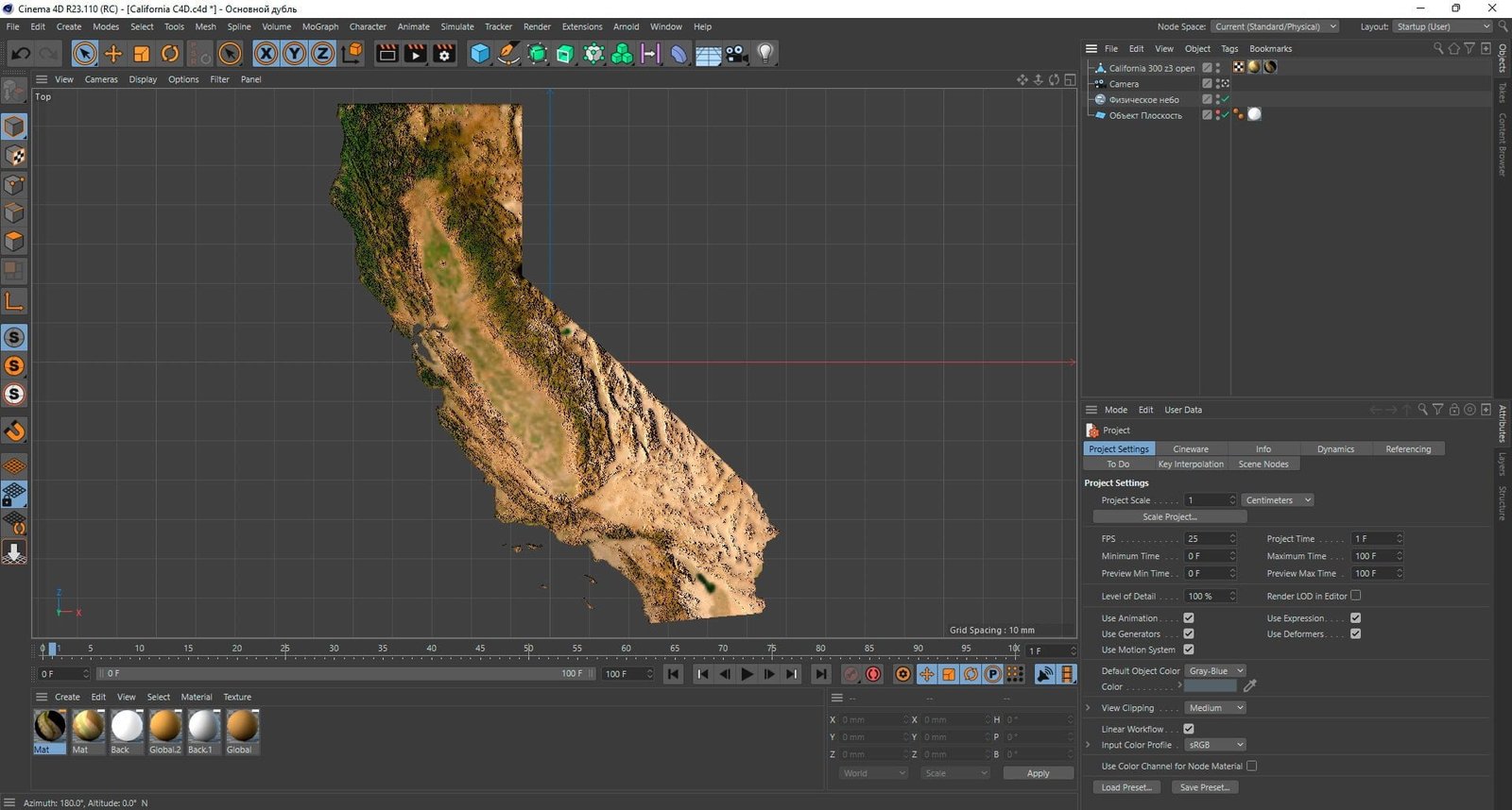
3D model
- Format: C4D
- File size (unzipped): 824 MB
- Polygons: 14 399 056
- Vertices: 7 212 369
- Geometry: Polygonal Tris only
- Model size: 114.39 mm x 132.33 mm x 1.335 mm
- Projection: Mercator
- Base: Open
- UV layer: Yes (frontal)
Textures
- Format: TIF
- File size: 123 MB
- Resolution: 7000*7000*48b
[idcore id=”2″]
Description
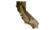
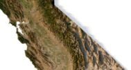
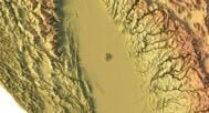
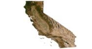
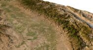
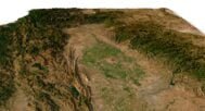
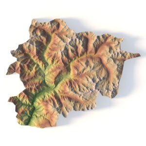
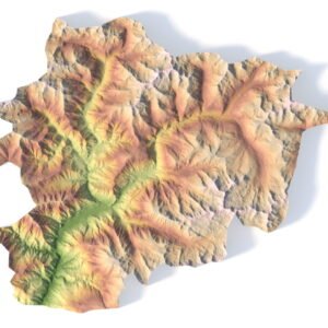
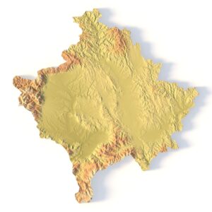
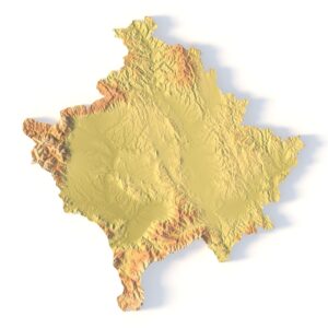
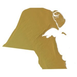
This 3D model represents the state of California, including its geographical features such as mountains, valleys, and coastlines. It can be used in various applications such as graphic design, 3D printing, and CNC milling.
The level of detail and accuracy can vary depending on the intended use and the software used to create or manipulate the model. It’s a great tool to showcase the geographical location of California on a project or design.
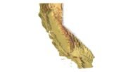
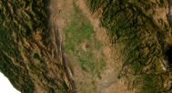
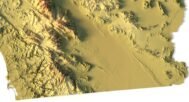
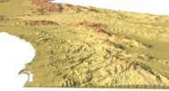
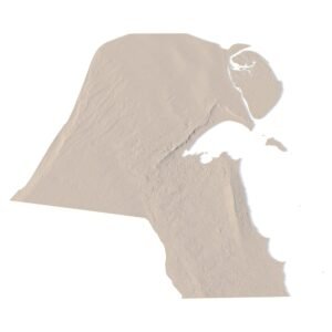
California DEM

The elevation map is used to get information about low and high parts of the relief.
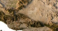
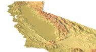
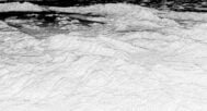
Shapefile of California

The shapefile is used to cut the 3D models along the contour.
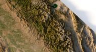
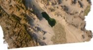
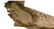
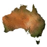
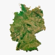
Satellite image of California

The satellite texture is high resolution in TIF format.
Have a Question?
Do you need an extra high resolution 3D terrain of California?
Do you need Shapefile of California and regions?
Do you need more resolution satellite images California?
Do you need a 3D models in BLEND, OBJ or FBX format?
Do you need Shapefile of California and regions?
Do you need more resolution satellite images California?
Do you need a 3D models in BLEND, OBJ or FBX format?
Related products


Original price was: $21.00.$17.00Current price is: $17.00.