Authagraph World Map – 3D Model

Original price was: $150.00.Current price is: $75.00.

3D model:

  • Format: C4D / OBJ
  • File size (unzipped): 200 MB / 262 MB
  • Polygons: 3 488 388
  • Vertices: 1 744 196
  • Geometry: Polygonal Tris only
  • Model Size: 218.002 mm * 94.3976 mm * 1.9044 mm
  • Projection: AuthaGraph
  • Base: Close

Textures (4 pcs):

  • Format: TIF
  • Resolution: 249 MPx (24000*10392 px)
  • Files size (unzipped): 889 MB

We accept VISA, Mastercard, ApplePay, GooglePay and other payment methods

You can also purchase this product using MasterCard/Visa on
RenderHub →  and 3Dexport →.

SKU: SH_8964 Category: Tags: , ,
Description

AuthaGraph World Map – 3D Model for Accurate Geographical Visualization

Bring precision and artistry to your educational or creative projects with our AuthaGraph World Map – 3D Model. Designed with dimensional accuracy in mind, this digital asset is ideal for high-quality renders, animations, and visual presentations of global mapping.

What is the AuthaGraph World Map?

The AuthaGraph map of the world is a revolutionary geographical representation that projects the spherical Earth onto a rectangular surface with minimal distortion. Unlike traditional world maps, the AuthaGraph preserves landmass distribution, proportionality, and true spatial relationships between continents and oceans.

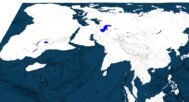
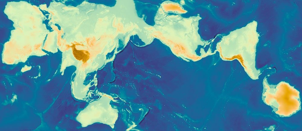
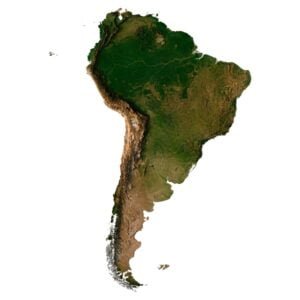
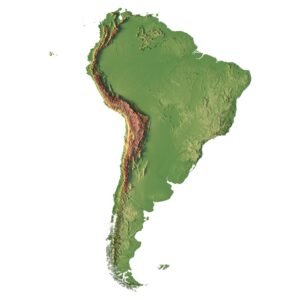
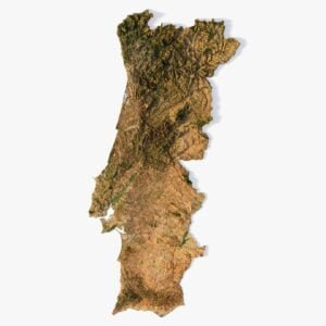
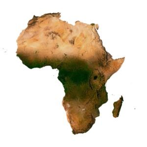
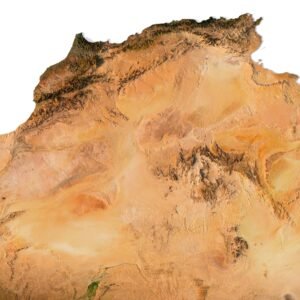
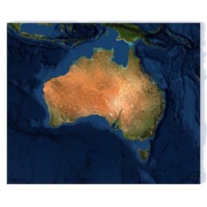
Why Choose Our 3D AuthaGraph Projection Model?

High-Resolution Detailing

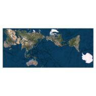
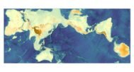
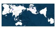
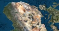
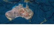
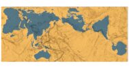
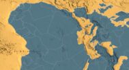
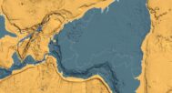
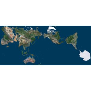
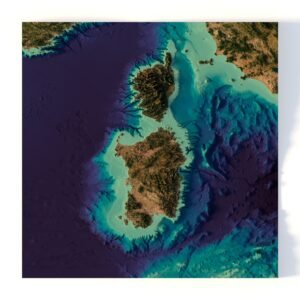
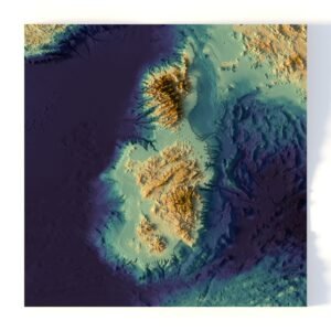
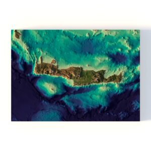
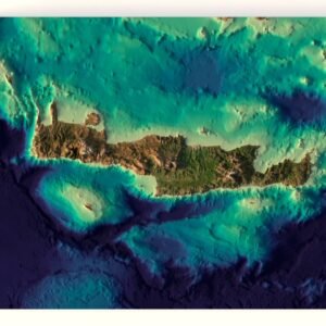
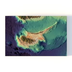
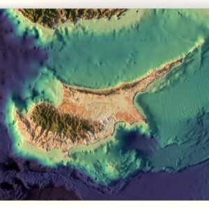
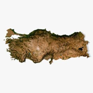
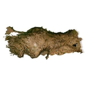
Our 3D model delivers a high resolution AuthaGraph world map suitable for both close-up renderings and large-scale compositions. Every detail is meticulously crafted for cartography experts, educators, and digital artists who seek visual fidelity and dimensional accuracy.

Versatile for Creative Use

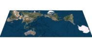
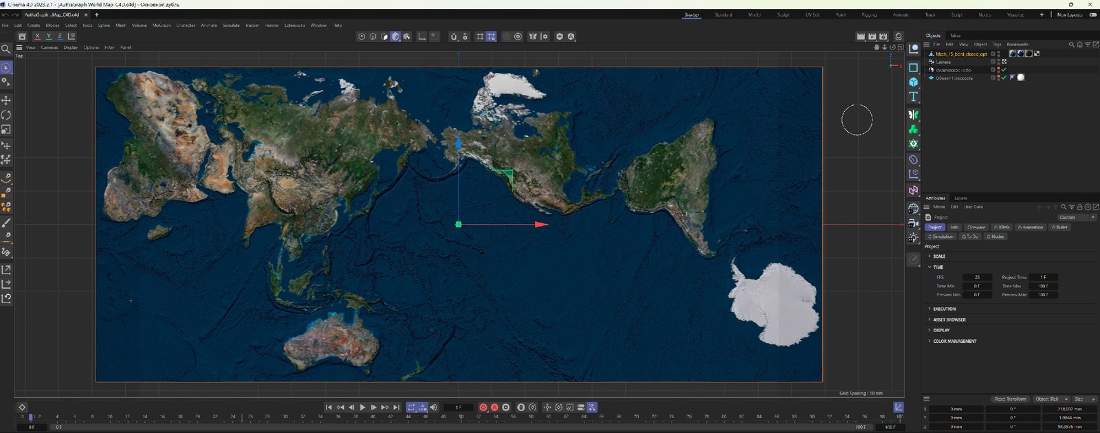
Whether you’re creating educational materials, global animations, or map-based artworks, this 3D projection is optimized for integration into workflows using Blender, Cinema 4D, Maya, and other 3D platforms.

Ideal for Educational and Artistic Projects

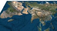
Our 3D AuthaGraph model bridges science and design. Use it in classrooms, documentaries, explainer videos, or creative exhibitions to spark engagement and spatial visualization understanding.

River and lake map

AuthaGraph water map

Normal Map

AuthaGraph normal map

Satellite Map

AuthaGraph satellite map

Pseudo-color map

AuthaGraph fake map

Have a Question?

Do you need an ultra-high resolution 3D relief of the AuthaGraph world map?
Do you need other projections?
Do you need different world textures?
Do you need higher resolution satellite imagery?
Do you need a more detailed mesh?
Do you need a 3D model in BLEND, STL or FBX format?