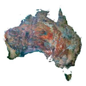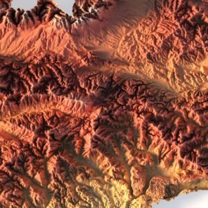

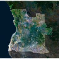
High-Resolution Satellite Map of Andorra in TIFF Format
$15.00
Buy Andorra Satellite Map – Ideal for Education, Decor, and Gifts
- Format: TIF
- Resolution: 8892*7399 px
- Depth: 24 bit
- Size: 73.2 MB
- Color scheme: RGB
- Projection: Mercator
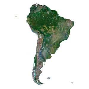
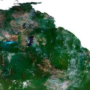
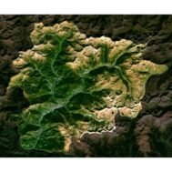
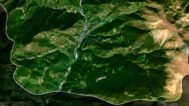
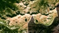
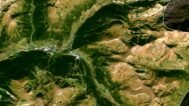
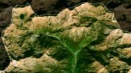
Satellite Map of Andorra – High-Resolution TIFF Image
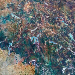
The satellite map of Andorra in TIFF format is a detailed, high-resolution satellite image designed for professional and creative applications. Thanks to its precision and clarity, this digital map can be used in both educational projects and large-format printing.
Applications:
📚 Education & Research – excellent for geography, history, and environmental studies in schools and universities.
🖼️ Interior & Decoration – print as wall posters, framed artwork, or decorative panels.
🧳 Tourism & Travel Planning – visualize routes, create brochures, and design tourist projects.
🌍 Environmental & Resource Studies – analyze landscapes, track ecological changes, and explore natural features.
🎁 Gifts & Souvenirs – an original present for map lovers, travelers, and collectors.
🌐 Web & Multimedia – integrate into presentations, websites, and digital infographics.
🏗️ Architecture & Design – use as a base for concepts, layouts, and visualizations.
📊 Business & Marketing – perfect for brochures, trade show materials, and promotional graphics.
Key Benefits:
✅ Delivered in TIFF format for maximum quality
✅ High-resolution imagery suitable for large-format printing
✅ Versatile use across education, design, research, and business
✅ Printable without quality loss
This satellite image of Andorra is an essential asset for educators, designers, travelers, and businesses. Whether you want to decorate a wall, create a scientific project, or prepare promotional material, the TIFF format ensures excellent detail and flexibility.
FAQ
This map is not geo-referenced, but feel free to contact us to obtain a file with geo data if needed.
Yes, we offer custom projections upon request. Contact us for details.
Yes, if you need the map in a different file format, please contact us. We offer various formats to meet your needs.
Yes, of course. Please specify the desired 3D model format, dimensions and how you will use it. This will help me to prepare an optimal model for you.
Absolutely! If you require a higher resolution version, just let us know, and we can provide a version that fits your requirements.
Yes, we can customize the map with different projections or remove boundaries as needed. Please reach out to us with your specifications, and we’ll accommodate your request.
For custom sizes or additional features, please contact us directly. We are happy to work with you to create a tailored map that fits your specific needs.
Absolutely! The map is available in high resolution, making it suitable for large format printing without losing detail. Be sure to check with your printing company if they require RGB-to-CMYK color conversion for best results.
In addition to educational and decorative uses, the map can be utilized for trip planning, natural resource research, and as a creative gift.