Westeros Map 3D Model

$28.00

3D Model

  • Format: C4D  (OBJ / Blend on request)
  • File size (unzipped): 571 MB
  • Polygons: 9 988 760
  • Vertices: 4 999 122
  • Geometry: Polygonal Tris only
  • Model size: 3125 mm x 6250 mm x 43.828 mm
  • Base: Open

Textures

  • Height Map TIF 4097*8193*16b – You can use this map in the displacement channel instead of the polygonal mesh.
  • Normal Map TIF 4097*8193*48b – Use this map to reveal fine details of the relief.
  • Satellite Map TIF 4097*8193*48b
  • Pseudo-color Map 4097*8193*48b
  • Boundary Mask TIF 4097*8193*48b – Use this map as a mask for your background.

We accept VISA, Mastercard, ApplePay, GooglePay and other payment methods

You can also purchase this product using MasterCard/Visa on
RenderHub →  and 3Dexport →.

SKU: SH_3462 Category: Tags: ,
Description

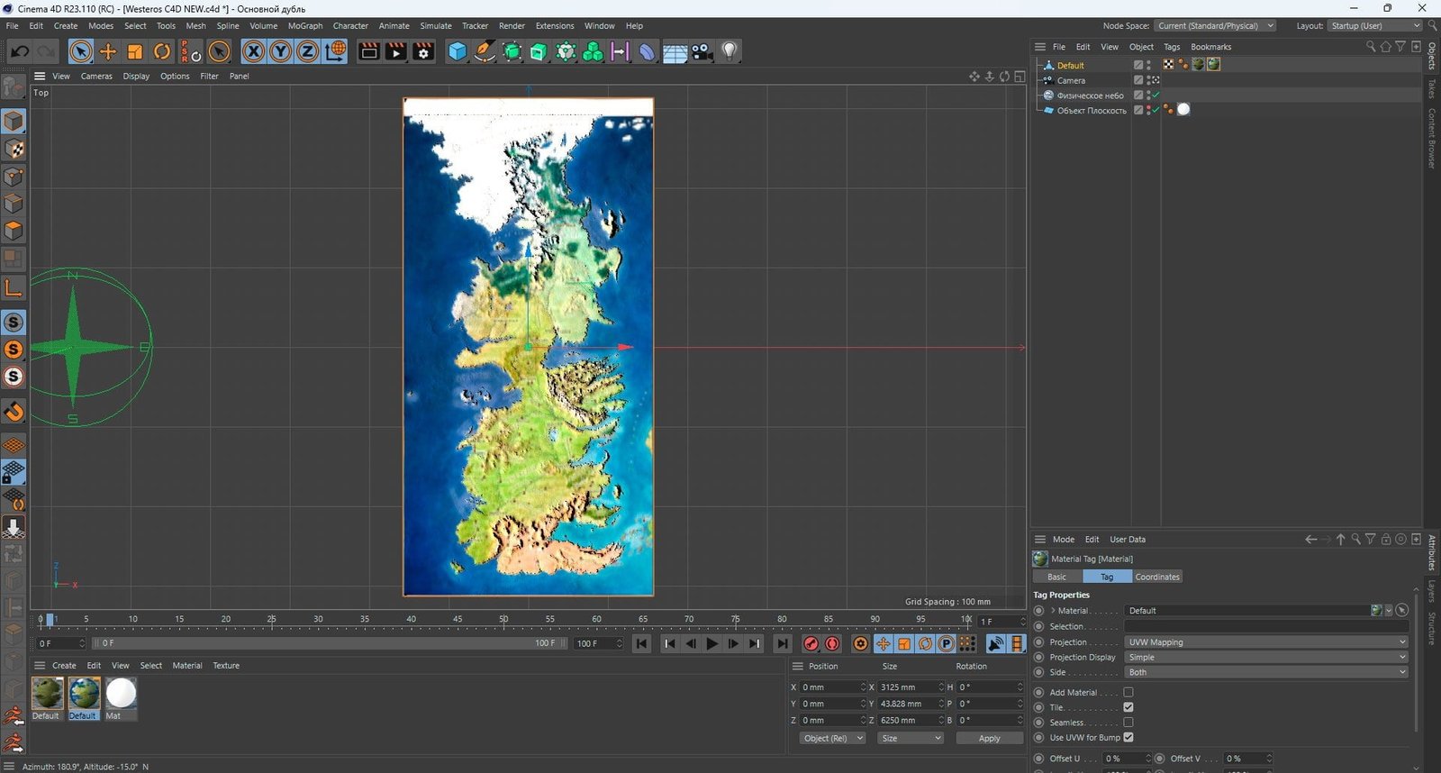
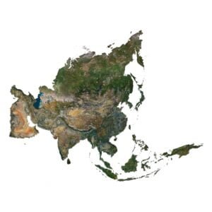
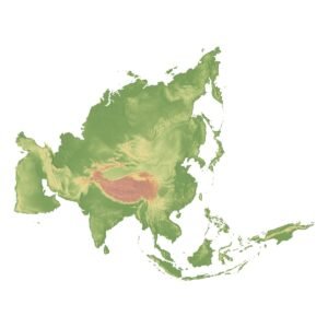
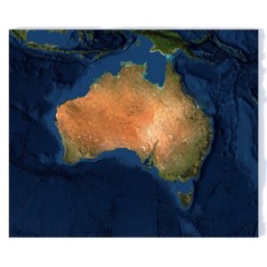
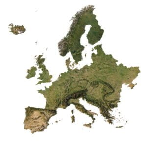
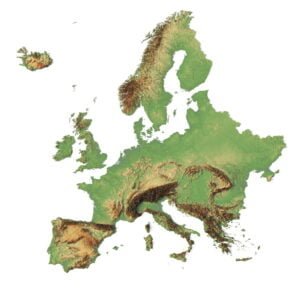
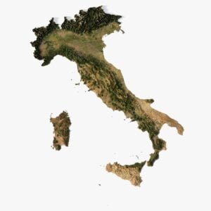
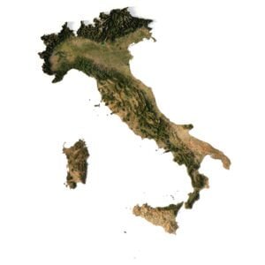
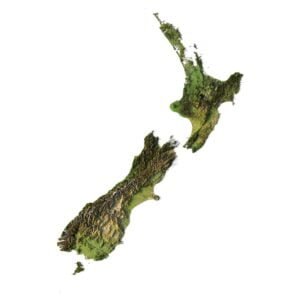
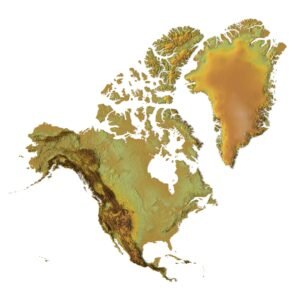
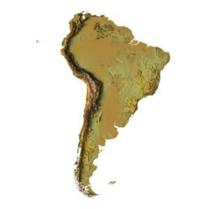
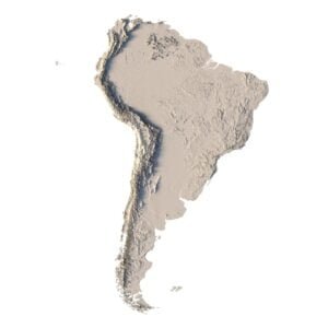
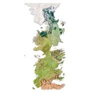
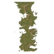
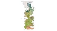
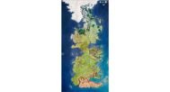
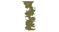
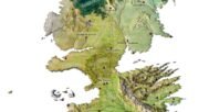
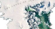
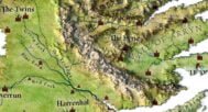
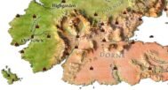
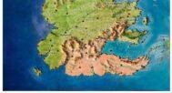
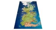
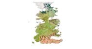
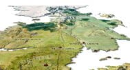
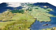
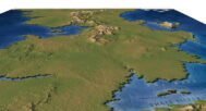
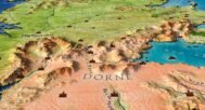
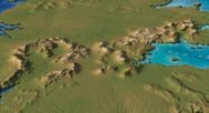
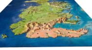
Explore the immersive realm of Westeros with the 3D Map From Game Of Thrones through our meticulously crafted 3D model. This Westeros 3D map model offers an intricate representation, capturing every contour of the land. With a perfect fusion of artistry and precision, our Westeros 3D model stands as a testament to our commitment to detail.

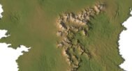
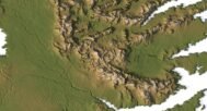
Embark on a journey across mountains, valleys, rivers, and lakes, all seamlessly integrated into this captivating Westeros 3D map. Whether you’re an enthusiast of 3D graphic design or simply an admirer of art, this Westeros 3D model promises you an experience beyond imagination.

And that’s not all – this 3D model can be used for graphic design, art, milling on a CNC machine, or printing on a 3D printer. It is a versatile creation that can be brought to life in various ways, allowing you to unleash your creativity and make it truly your own.

In addition to the 3D terrain of the Westeros Map, you get a map of heights, a map of normals, satellite textures and other maps.

Height Map

Westeros Height Map

You can use this map in the displacement channel instead of the polygonal mesh.

Normal Map

Westeros Normal Map

Use this map to reveal fine details of the relief.

Satellite image

Westeros Satellite

The satellite texture is high resolution in TIF format.

Pseudo-color Map

Westeros Fake

Use this map to get elevation information based on the color shade.

Boundary Mask

Westeros Border

Use this map as a mask for your background.

Have a Question?

Do you need an extra high resolution 3D terrain of Westeros Map ?
Do you need Shapefile?
Do you need more resolution satellite images?
Do you need a 3D model in BLEND, OBJ or FBX format?